Brace yourself, sit comfy and have beverages handy, you will see 210 pictures.....
Please, do NOT copy those, they are my property.
|
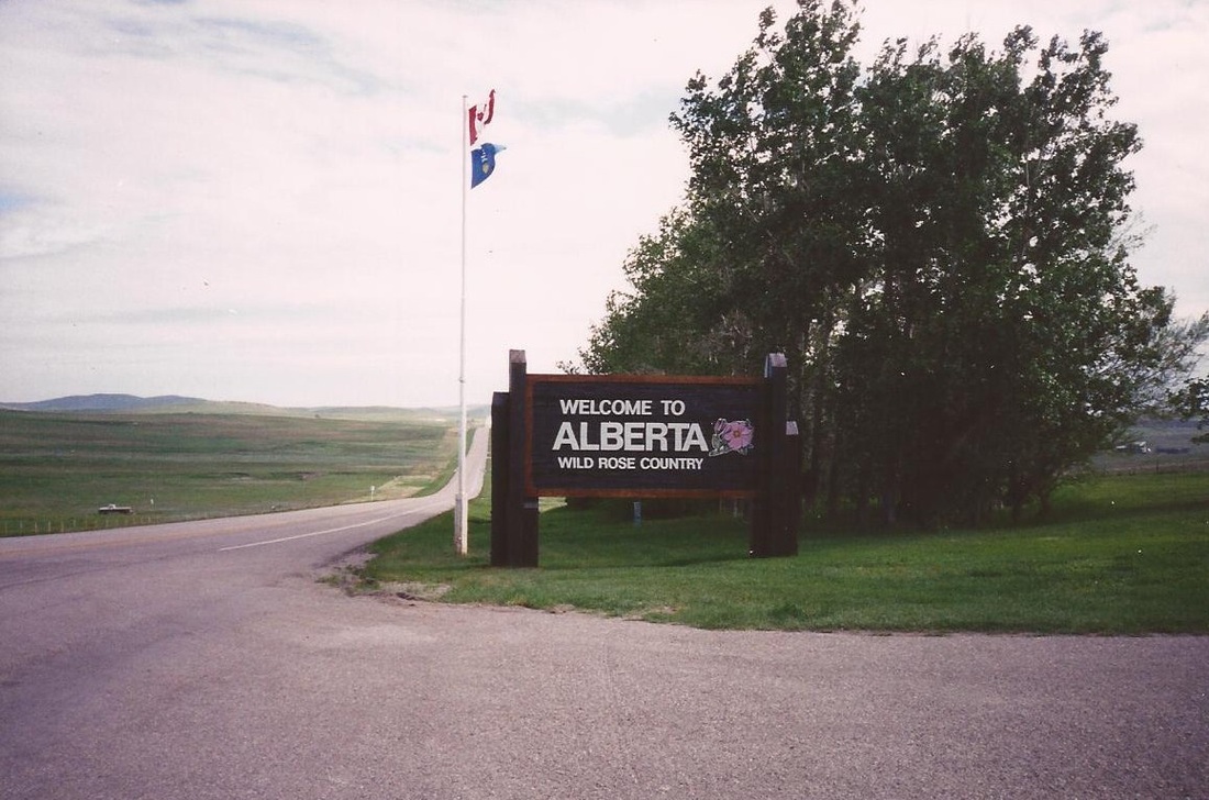
Crossing into Alberta at checkpoint Piegan-Carway on US Route 89. Toll: "Are you only 2 persons in your motorhome?" Dieter: "No - we are 3, we have a cat."
"Oh, a cat!! May I see the papers?" We had all papers necessary.... "Do you have Wine, Beer, Pepperspray or Weapons?" No - we had not...... |
|
We drove the Trans Canadian Highway One (TCH1) through Calgary, noticed all the Olympic installatons. We did not stop in Lake Louise, missed the exit. Entering the national park in Banff we had to pay $ 9.00 because our Golden Age Passport was not valid in Canada.
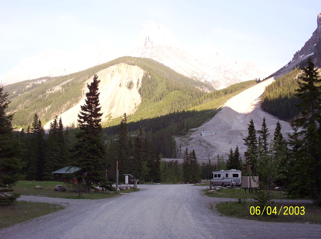
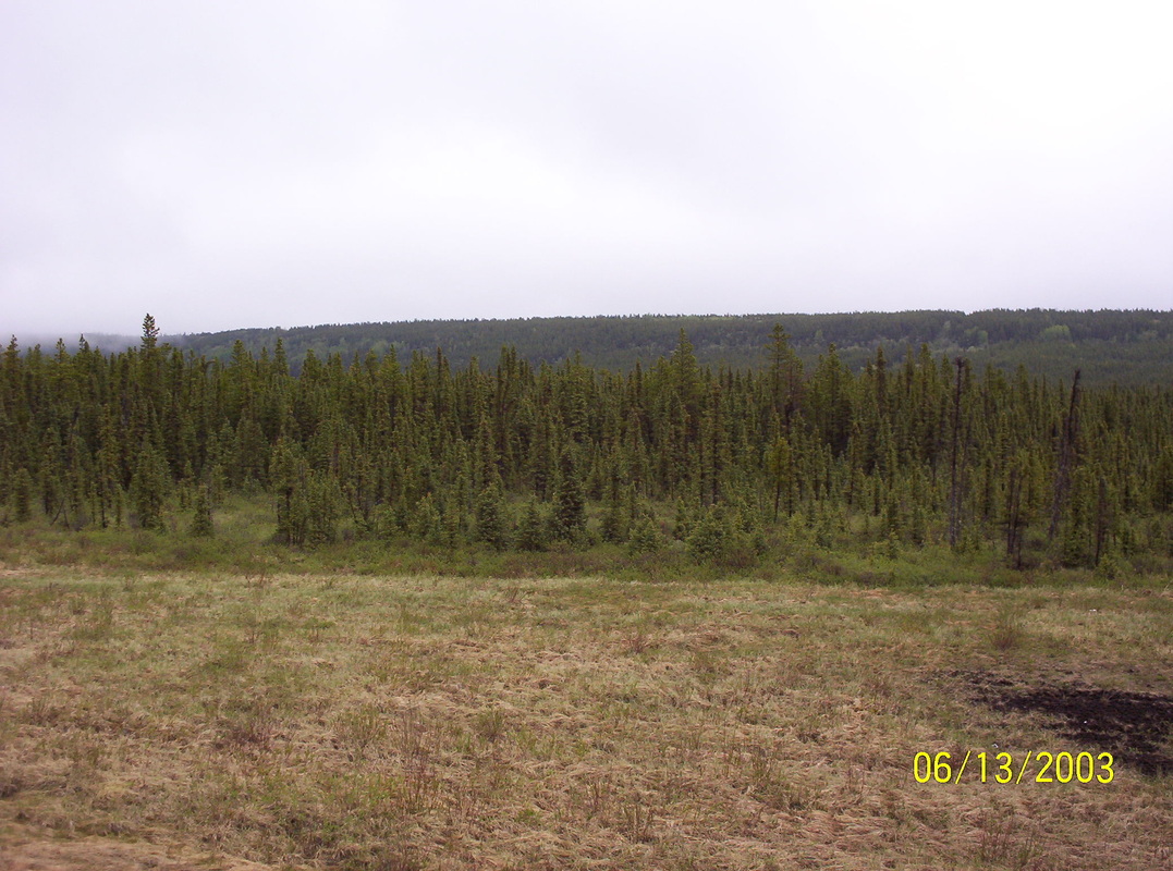
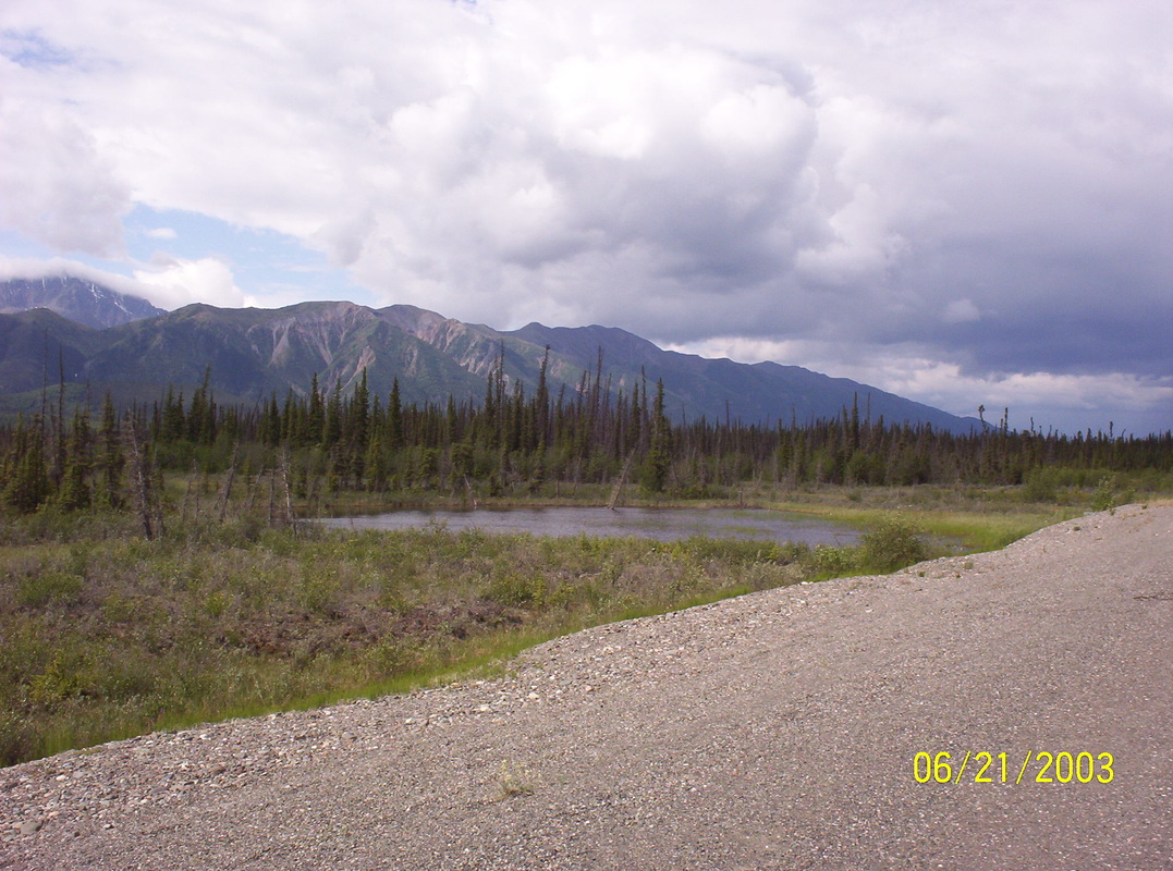
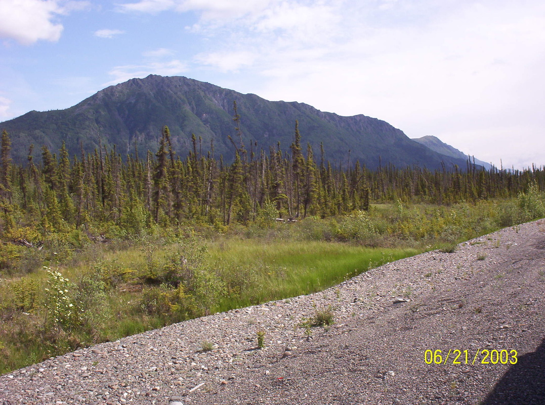
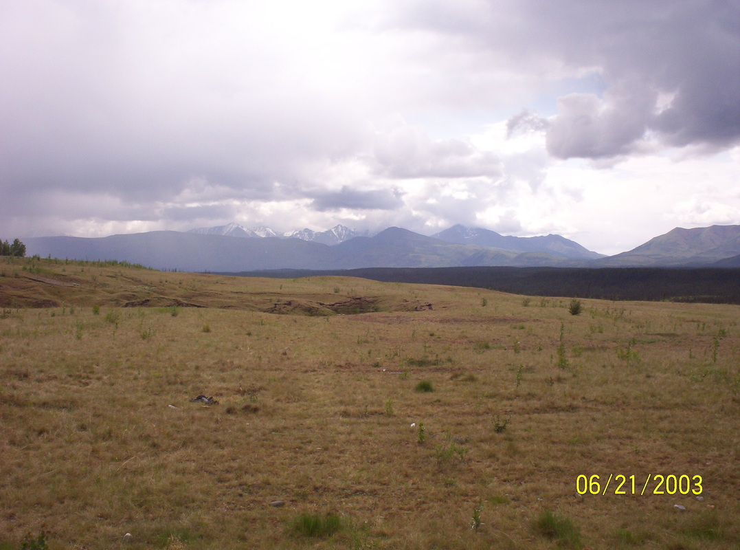
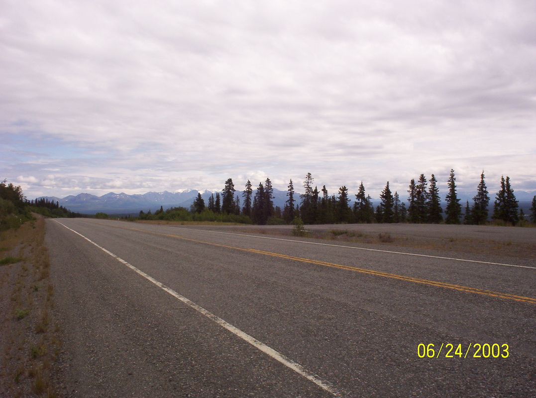
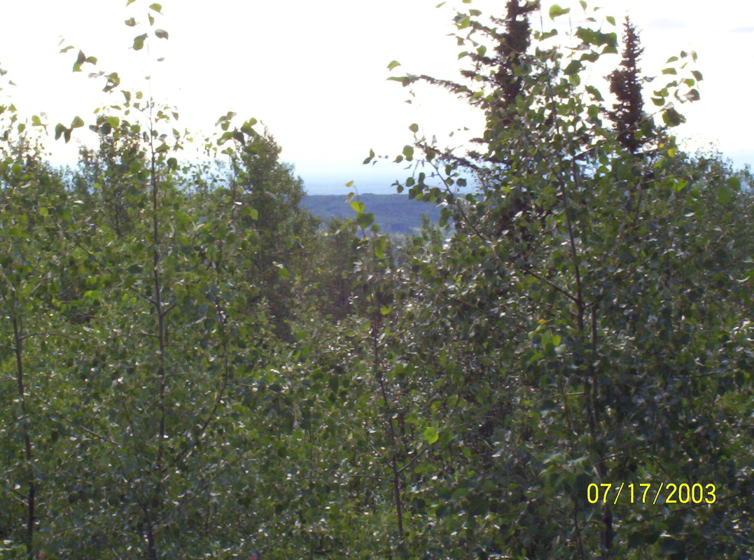
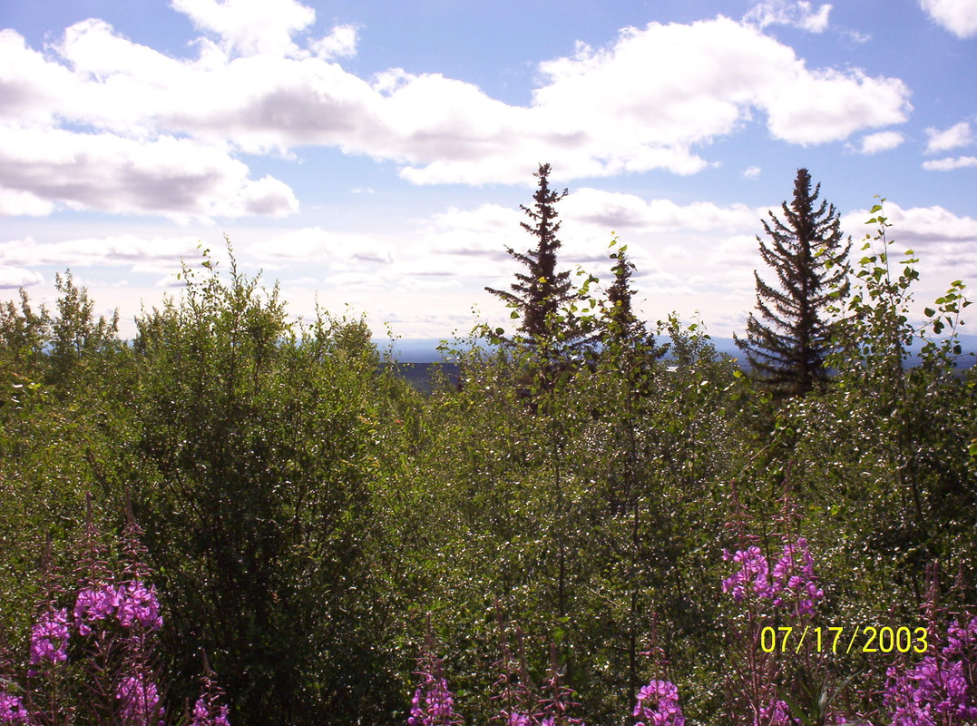
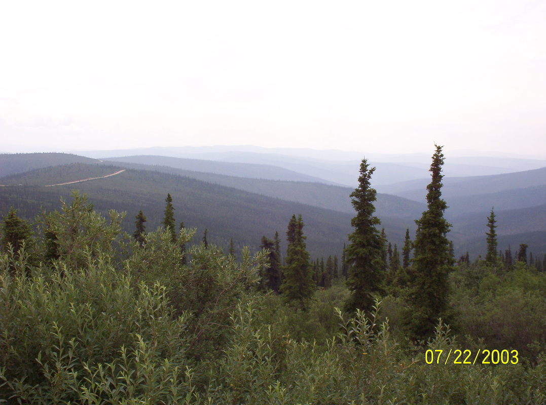
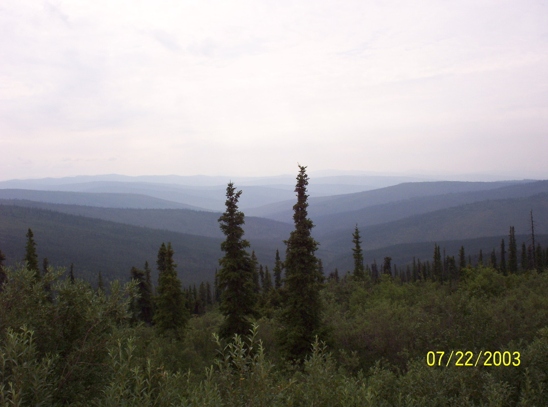
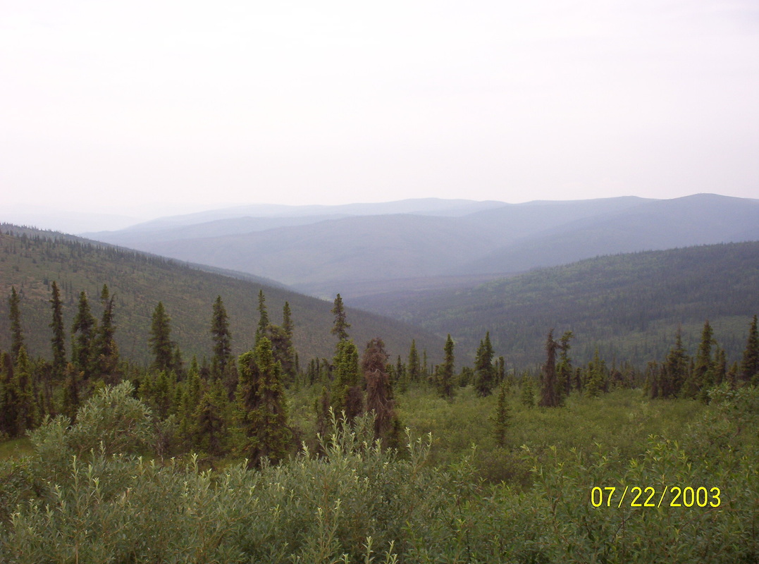
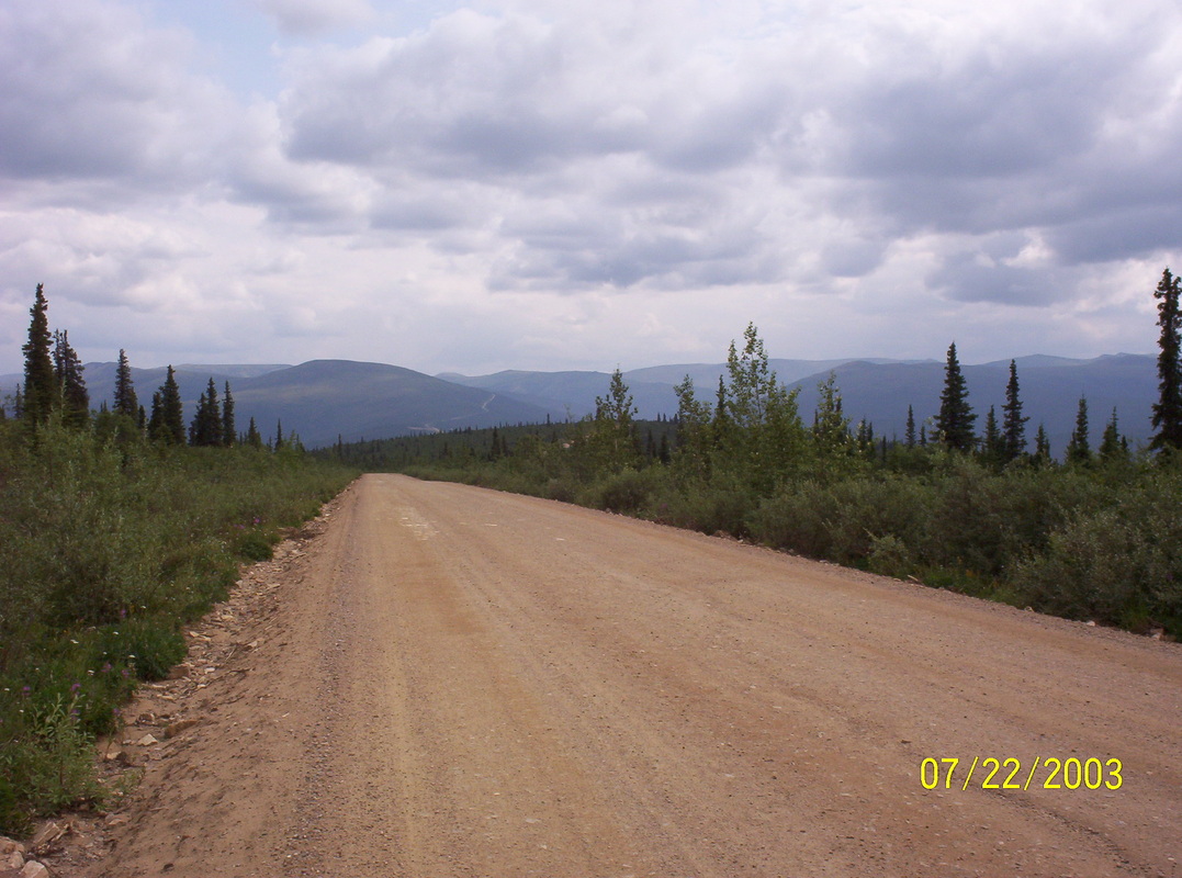
We settled for the night in the campground Monarch, near the city Fields. We are already in British Columbia. The mountains around are very high, ca, 12000', without Panorama or Zoom fixture in my camera I did not take any other pics than this. Banff Ntl. Park is one of the Heritage Sites of UNESCO. Flora and Fauna are awesome in its beauty. We saw a huge elk nearby..... The person who took this picture of Dieter and me was not a good photographer.... Until we got to Dawson Creek, we observed 2 Grizzlies, drove to Avalanche Tunnels and Snow Bridges. The landscape overall very alpine. After Kamloops the landscape changes, only single small firs, desert like terrain, mountain peaks very serated and many salt lakes. The route is 97 - -Williams Lake ( we had our brakes replaced there). Quesnel, Prince George, Dawson Creek. No pictures taken on that entire awesome stretch of land. I was so fascinated by the sceneries, that I rather enjoyed it and forgot my camera. At that point I had no idea that I became a blogger, an author. The fact of missing pictures and missing notes is the reason why I am not writing another book, about this trip... You will see that I took enough pictures where we stayed longer or where we made excursions. The page Postcards gives you an impression of the beauty of all the landscapes in British Columbia, Alaska and Yukon Territory. |
|
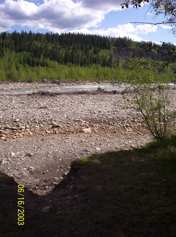
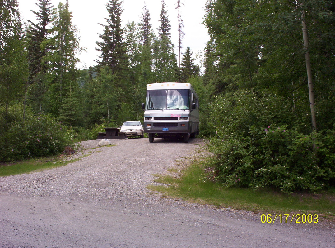
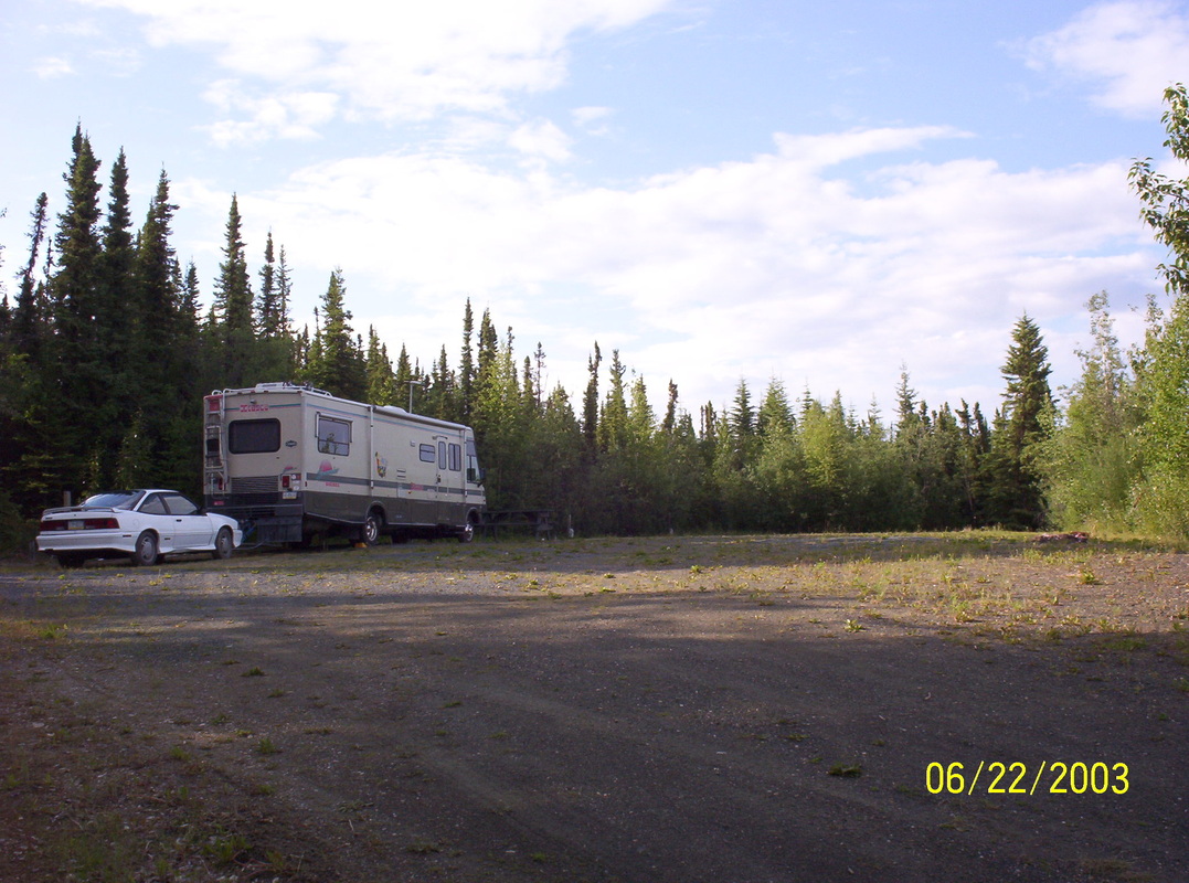
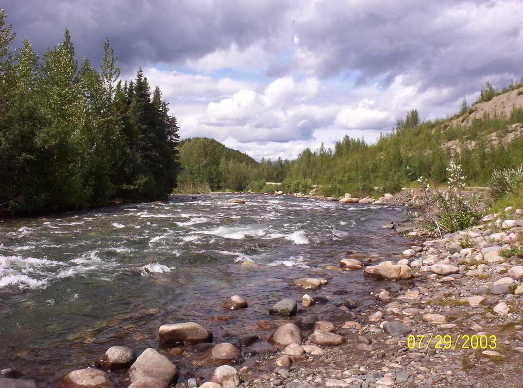
Tetsa River Provincial Park, BC
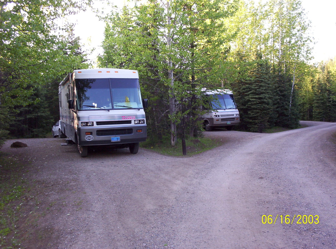
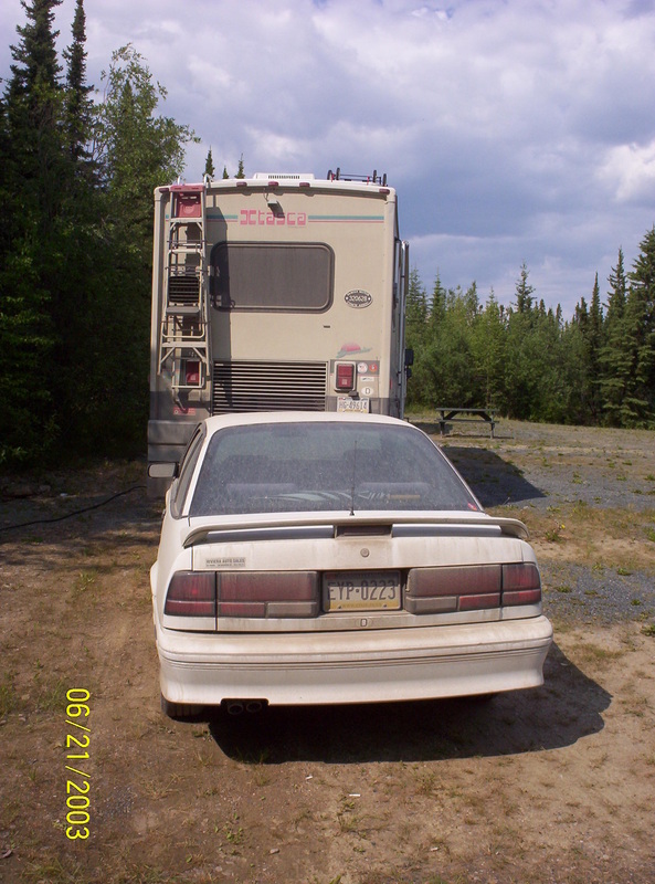
We had a camperfriend driving with us north in his Winnebago. His was an Itasca Adventurer and ours a Winnebago Itasca Suncruiser. the motorhomes looked almost the same. We had met up in Sulphur Springs, Montana. He did not feel well and parted from us later on in Watson Lake, YT, to drive back to the US. Muncho Lake is a lake in northern British Columbia, Canada. The lake is part of the Muncho Lake Provincial Park and located at kilometre 681 (mile 423)[1] of the Alaska Highway. The lake is about 12 kilometers (7.5 mi) long and its width varies between 1 and 6 km. It reaches a maximum depth of 223 meters (732 ft). The surrounding peaks (the Terminal Range of the Muskwa Ranges to the west and the Sentinel Range to the east) reach altitudes of more than 2,000 meters (6,600 ft), while the lake lies at an elevation of 820 meters (2,690 ft). It is formed along the Trout River, a tributary of the Liard River. The jade green color of the lake is attributed to the presence of copper oxide leached from the bedrock underneath.[2] Its name is derived from the Kaska language in which "muncho" translates as "big water".[3] |
|
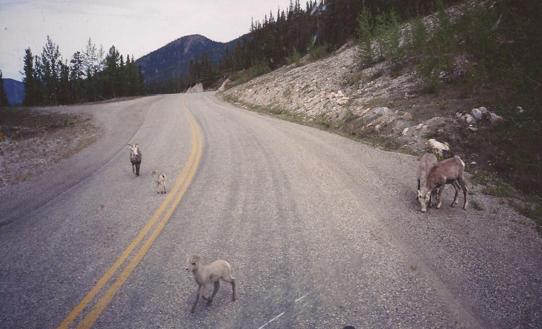
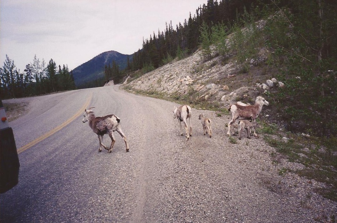
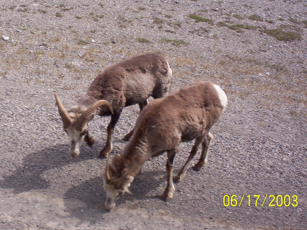
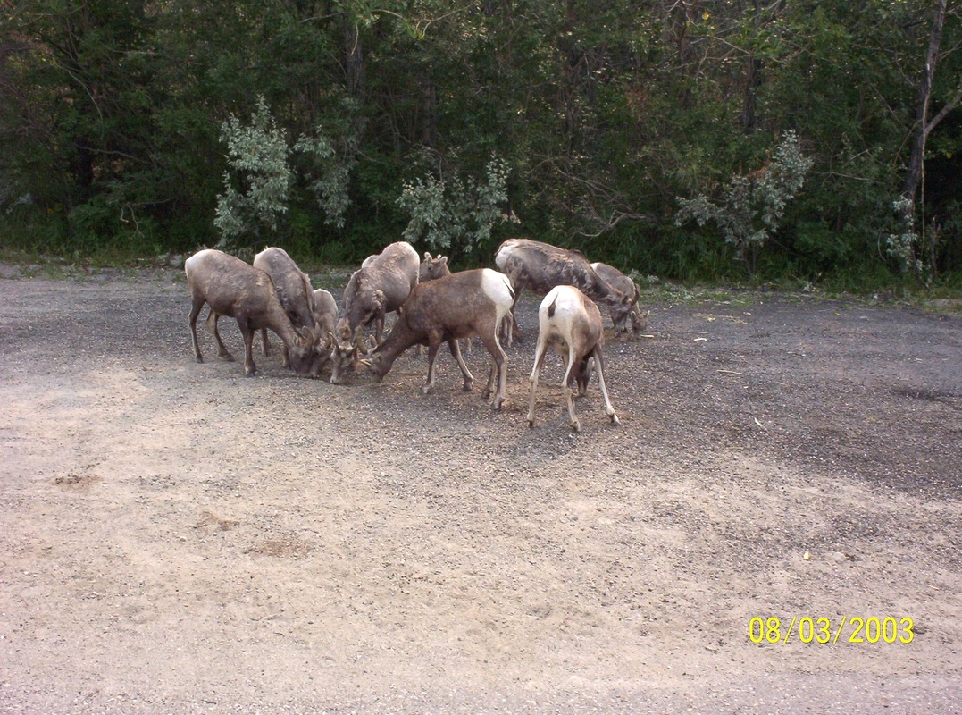
Looks like these animals are used to motorhomes and trailers driving by.....
|
|
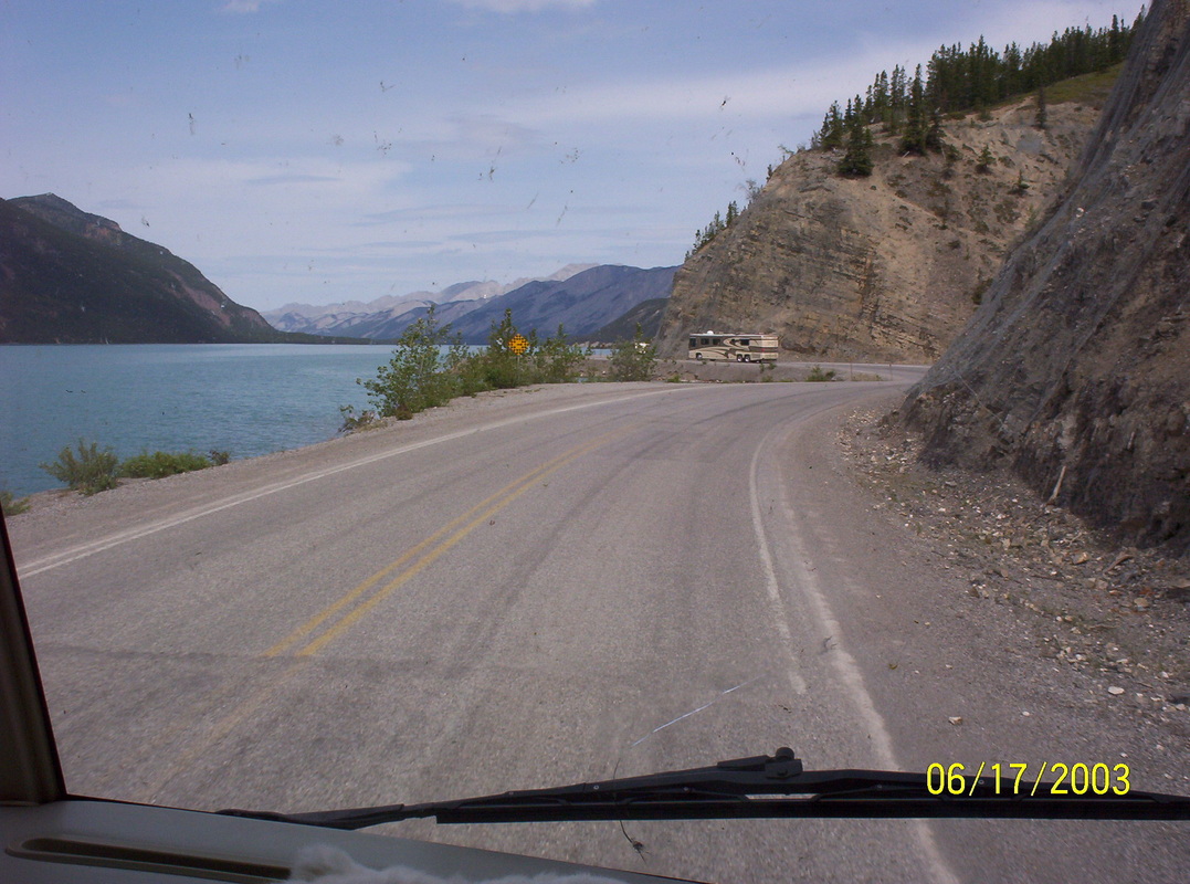
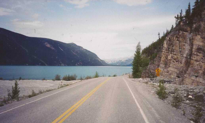
Just another wonderful view of the 7,5 miles long Muncho Lake in northern British Columbia
|
|
Liard Springs Provincial Park.
Please, refer to the postcards for a picture of the Liard Hot Springs. Please, click on the following link to read and know more about it: http://en.wikipedia.org/wiki/Liard_River_Hot_Springs_Provincial_Park We enjoyed the walkway to the springs through lush and almost tropic vegetation and flowers and soaked in it for 15 minutes, by then we felt the heat in an uncomfy way.. |
|
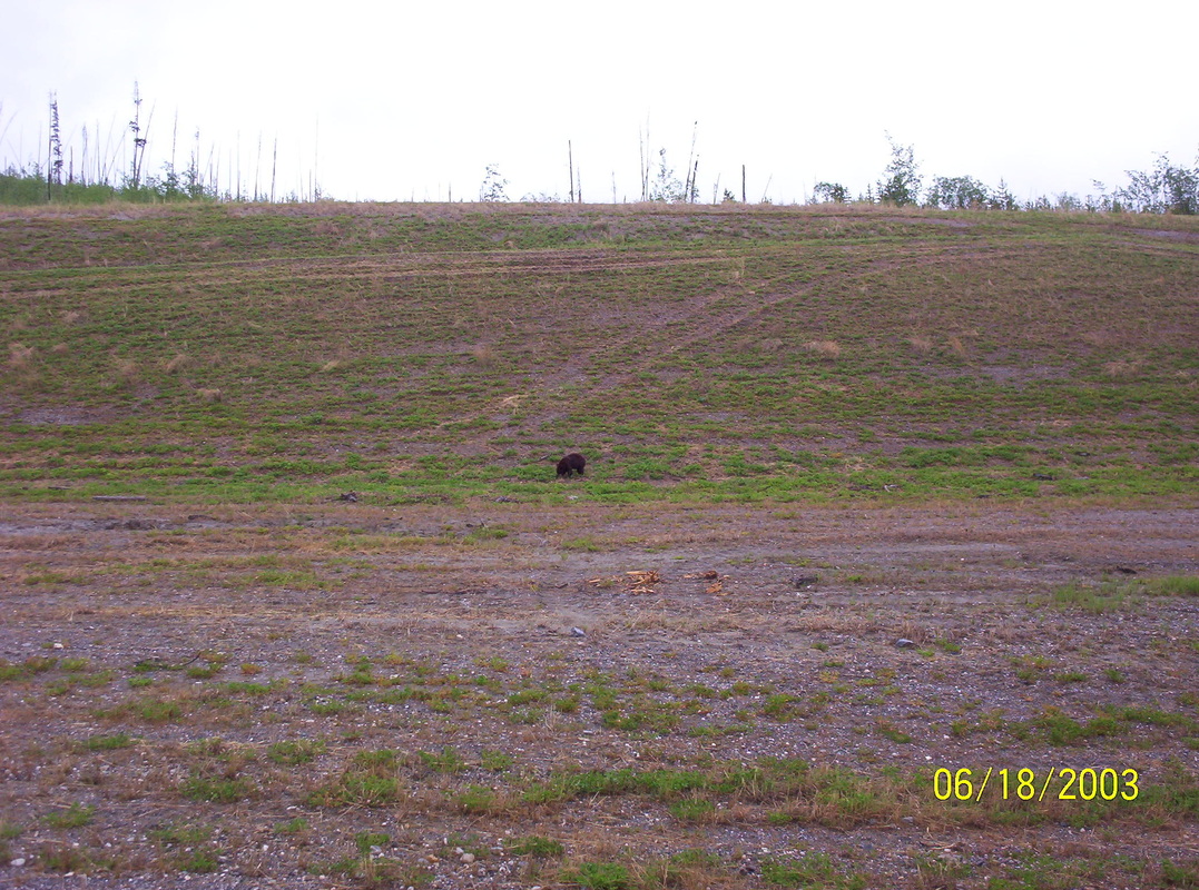
The bear looks so small here, but in reality it was pretty big.
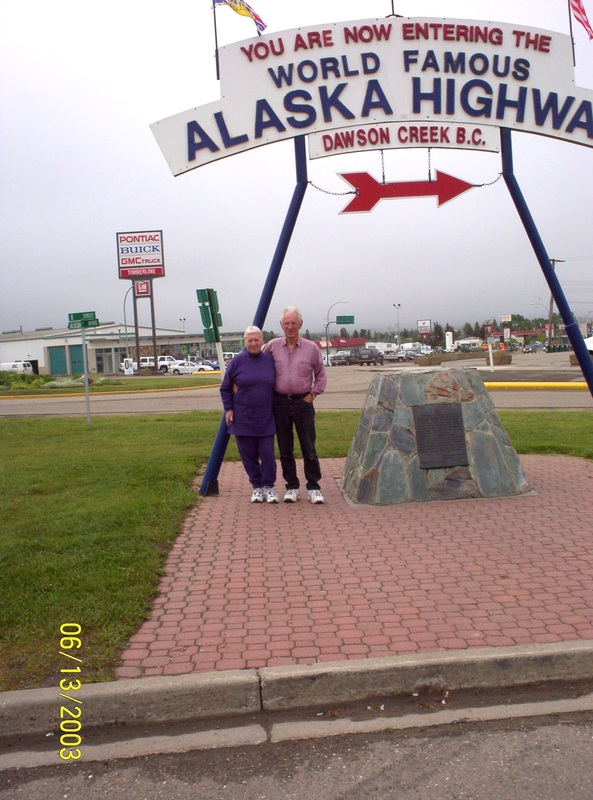
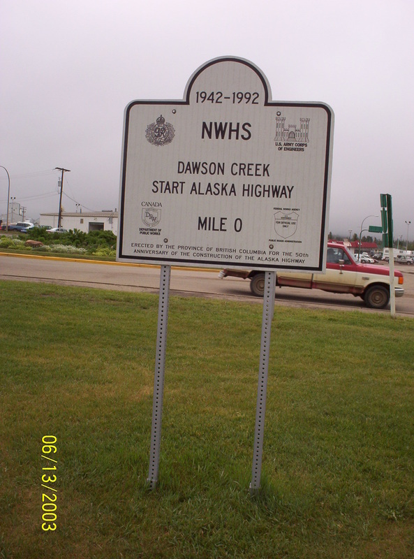
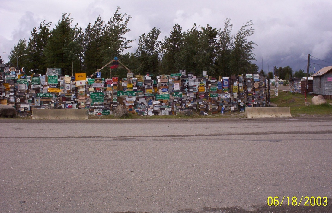
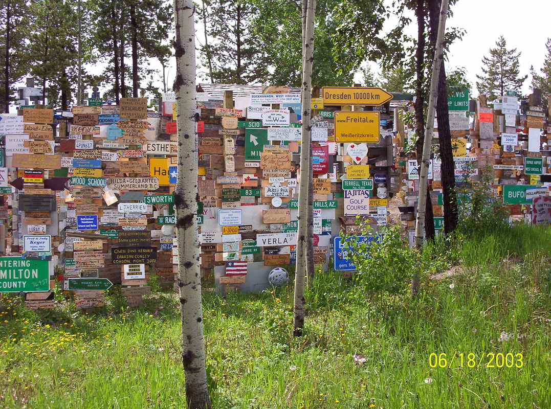
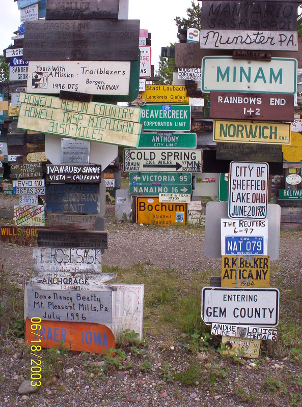
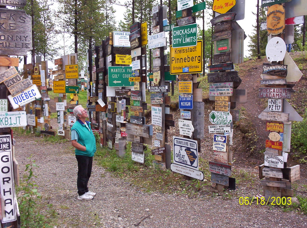
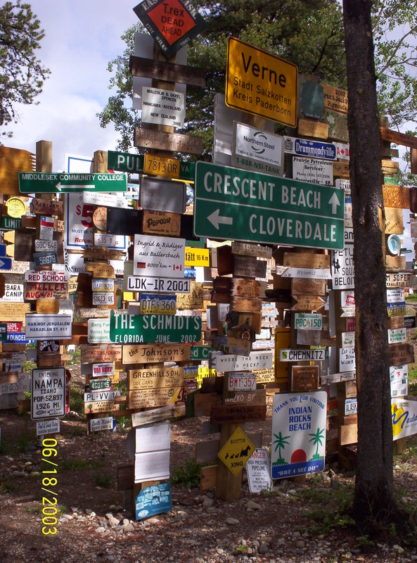
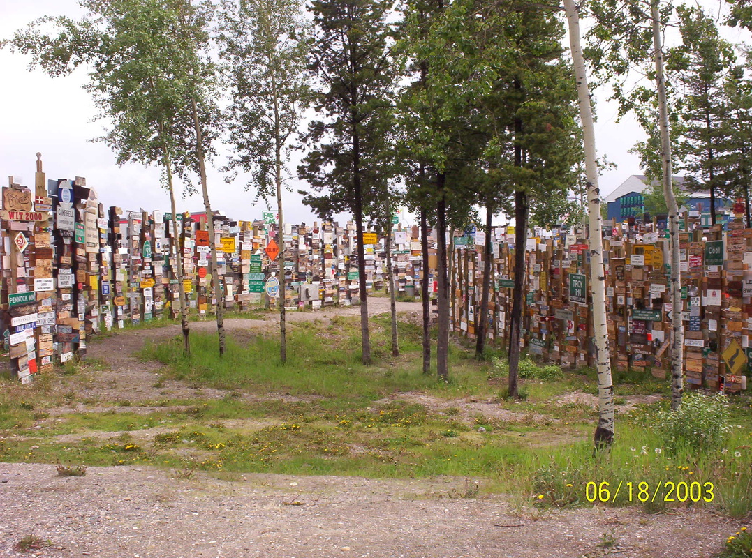
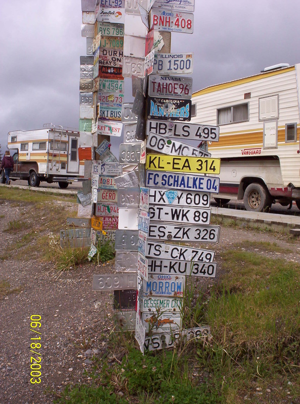
Sign Post Forest is a collection of signs at Watson Lake, Yukon and is one of the most famous of the landmarks along the Alaska Highway. It was started by a homesick GI in 1942. Visitors may add their own signs to the 75,000 already present. We parked in Downtown RV Park for 2 nights, to be able to spend a long time amongst all those signs. |
|
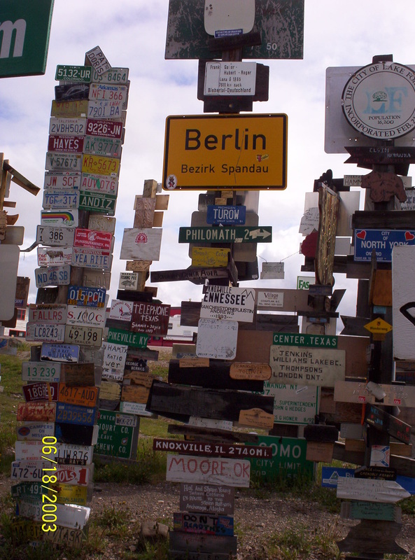
I was born in Berlin - on November 20 in 1935....
|
|
And I was in Dresden, Germany
|
|
We were campers already in Germany and made vacation several times in Norway - seeing the signs here brings up memories.
Dieter is also amazed by this landmark..... |
|
What one homesick GI started is now a very attractive landmark.
|
|
Lots of Germans have been here, obviously.
We noticed, that all the informative materials and books in all the visitor centers in Canada as well as in the USA come in 3 languages: English, German, Japanese. |
|
We are on our way to OtterFalls Cut-off, YT
|
|
The mosquitos are a pest here in this area and in this time of the year. And they are big!
When we parked for the night in Otter Falls Cut-off, we had to use mosquito spray and I was wearing a head net, like so many other campers here. A very big sink hole |
|
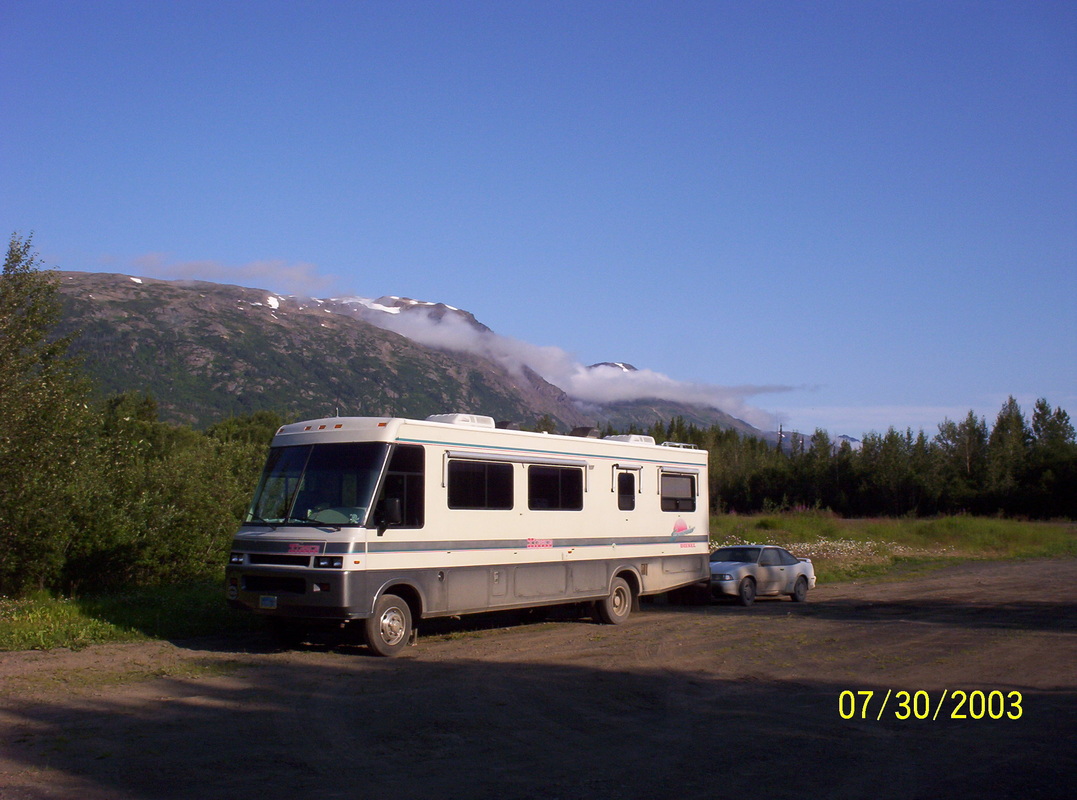
Finally, we reached Alaska, parked just across the border in Scottie Creek, at the gas station. We could get an electrical hook-up. And we decided to stay for 2 nights, just to rest a little and clean our motorhome and the car.
"But just with as little water as possible!" Only per bucket, not per hosing.....quite a task. |
|
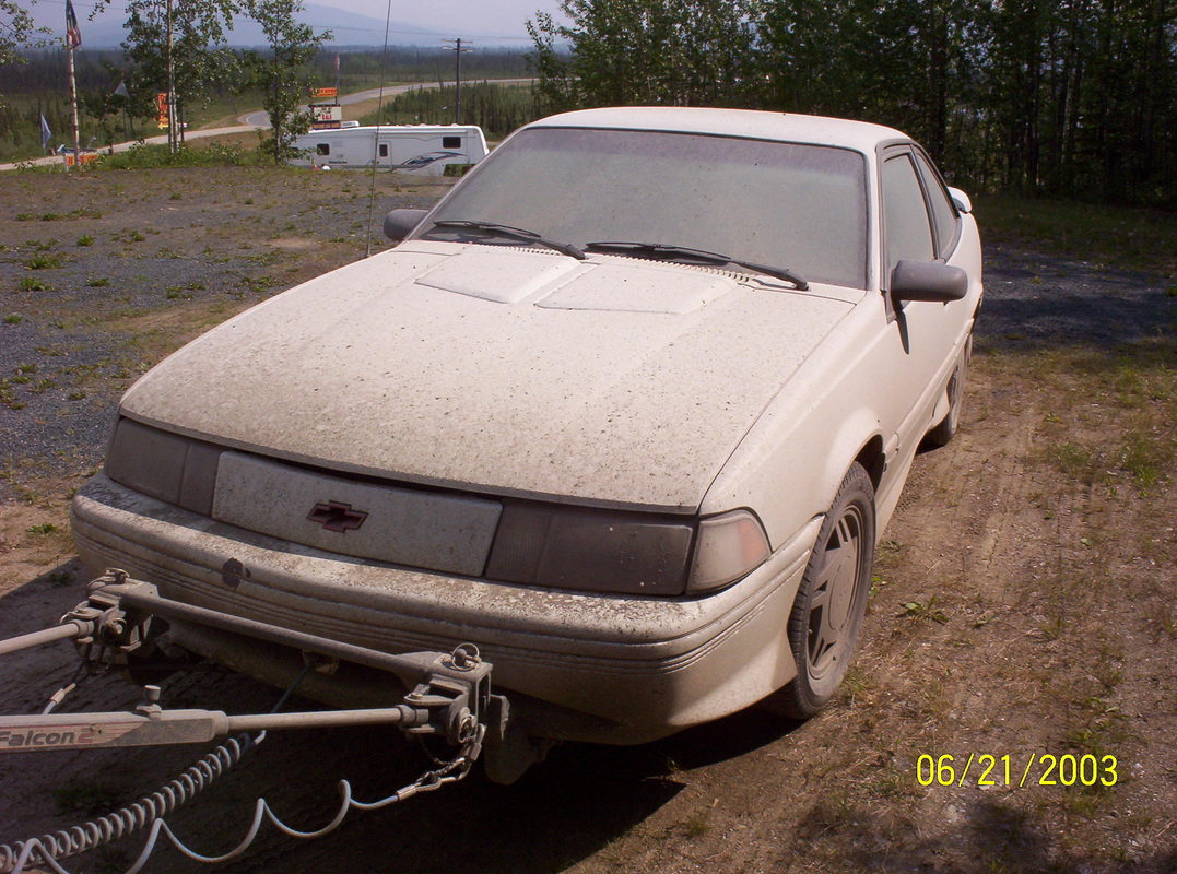
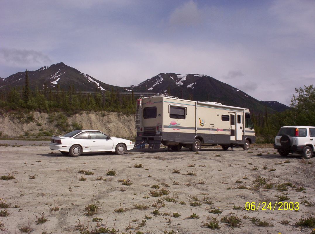
Our Chevrolet Cavalier after about 1650 miles in tow.....
having passed road-repairing stretches, where heavy machinery was used... |
|
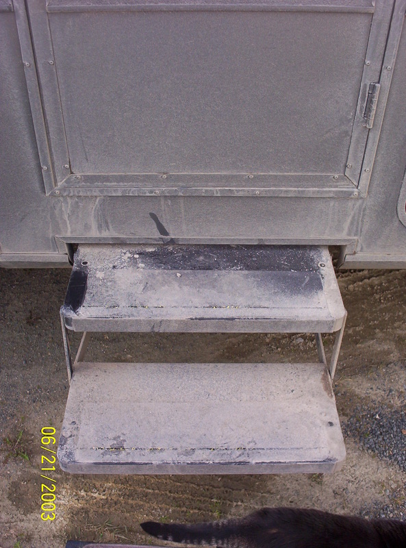
I wiped a little dirt off on the entrance steps to show you the original color of it, the door has the same dark color in the lower part.
Our cat Susi is checking out her location and surroundings...... Little sight-seeing around the fuel station |
|
We had to take a picture of the roughly cleaned vehicles, before they will be dirty again....
|
|
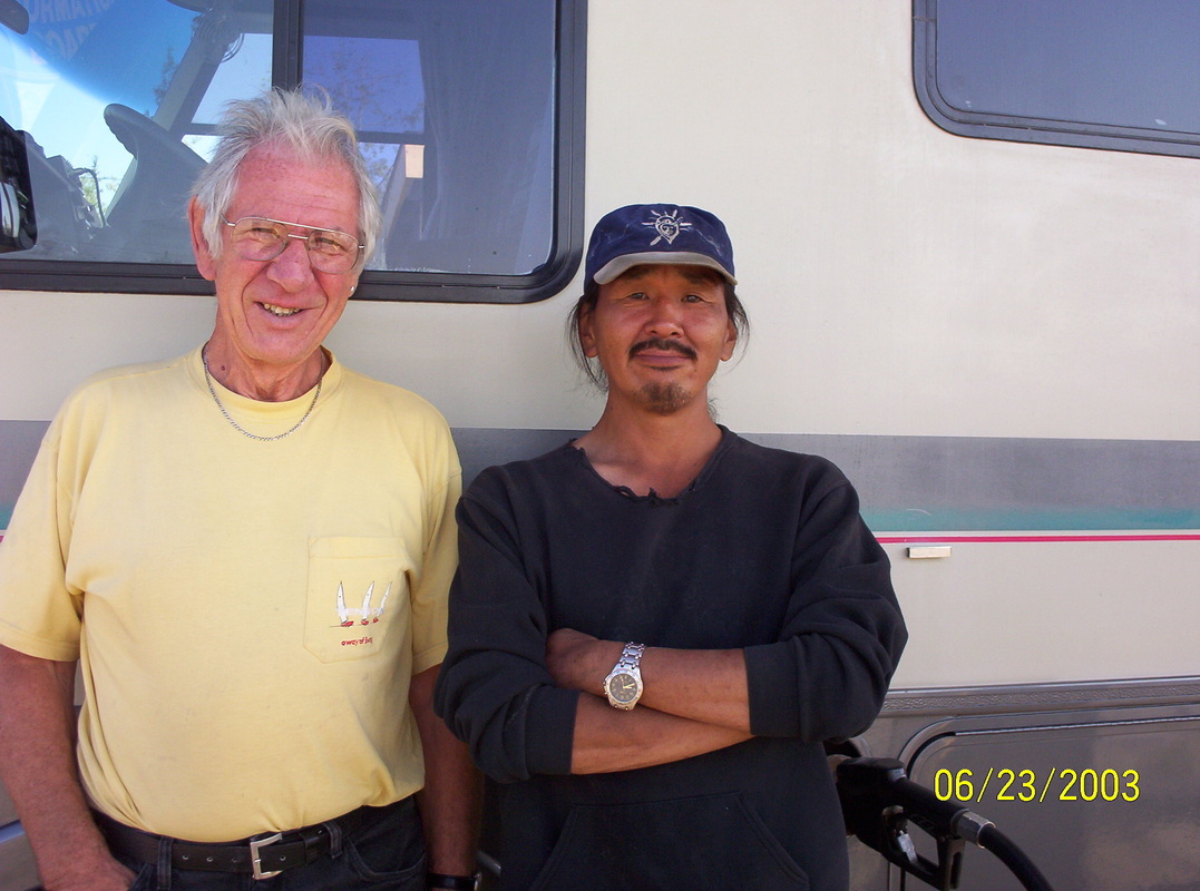
I had asked this man to post with Dieter for a picture, because I admired him for his achievements.
He is a native of Nome ( really the edge of the continent...), comes from very poor upbringings and all his siblings were alcoholics, having no work and no outlook on life whatsoever. He parted from his family to find work in the lower Alaska. He worked hard in this gas station and found the complete trust of the owner. He was managing the entire station, including the adjacent parking areas for RV's, all by himself. Both men, Dieter and he, talked for a couple of hours... Sorry, I forgot his name after 9 years. I never made notes. |
|
Enroute to Tok, AK
|
|
Pictures cannot transmit that feeling seeing the landscapes in reality....
|
|
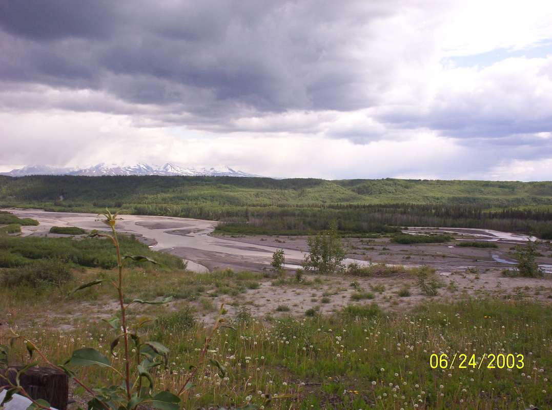
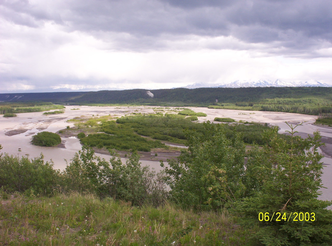
Rivers are sometimes milky because of the high mineral content
|
|
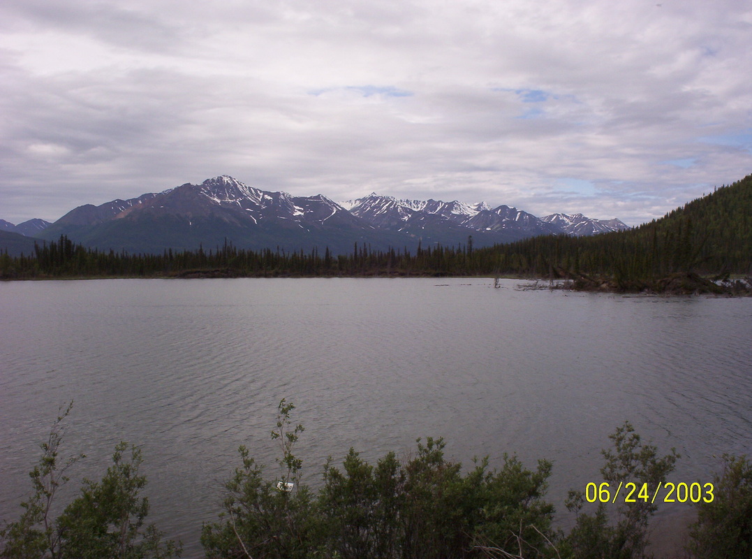
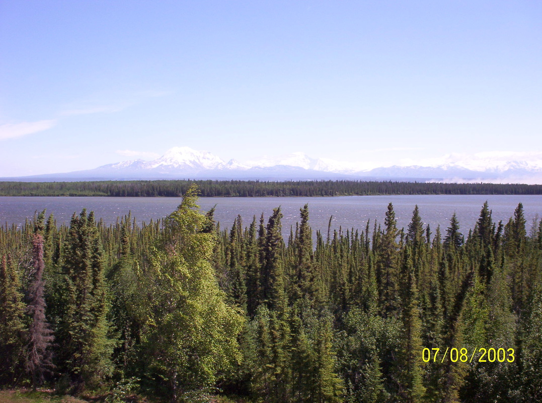
Matanuska River fed by the Matanuska Glacier....
|
|
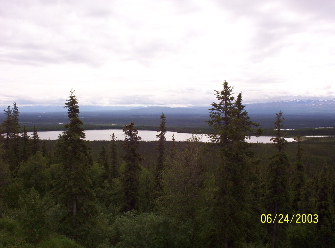
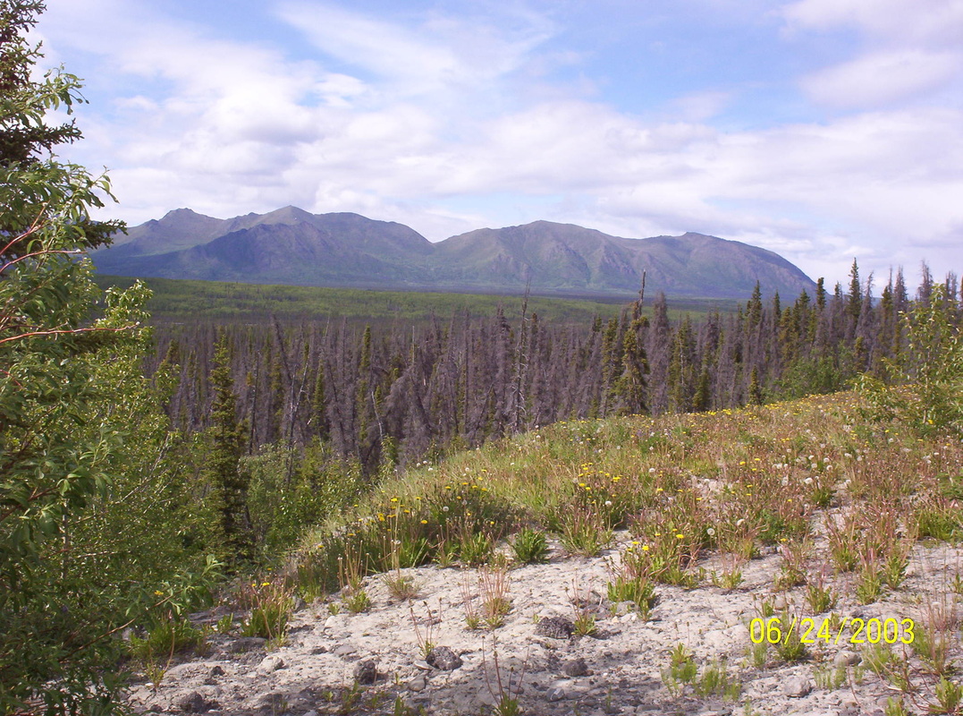
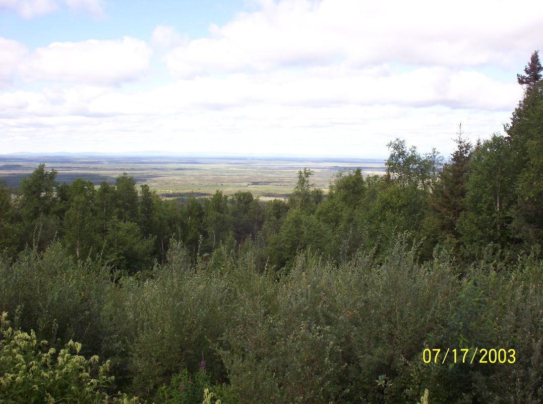
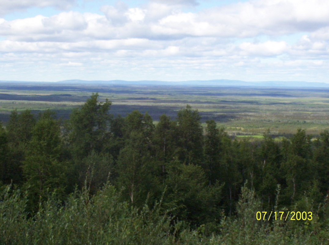
Tundra-like landscapes are rich with differences in vegetations, a feast for the eye.
|
|
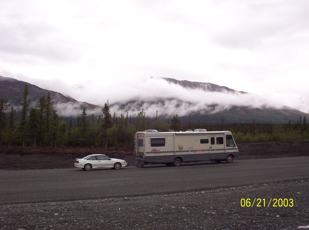
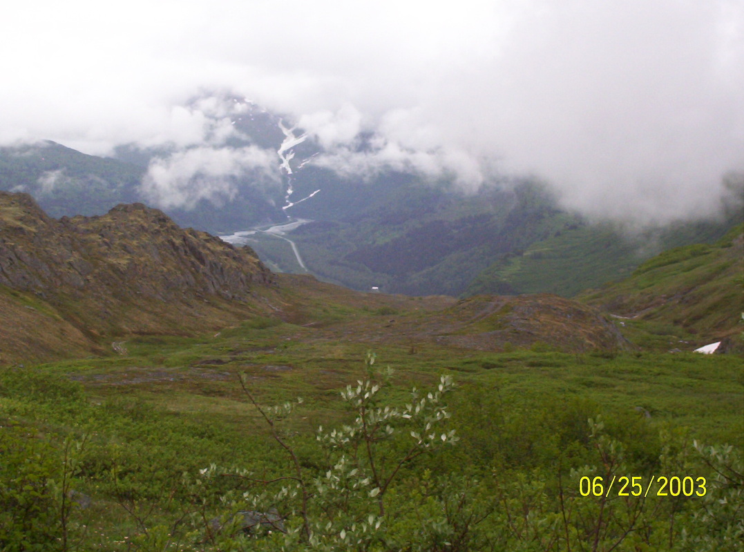
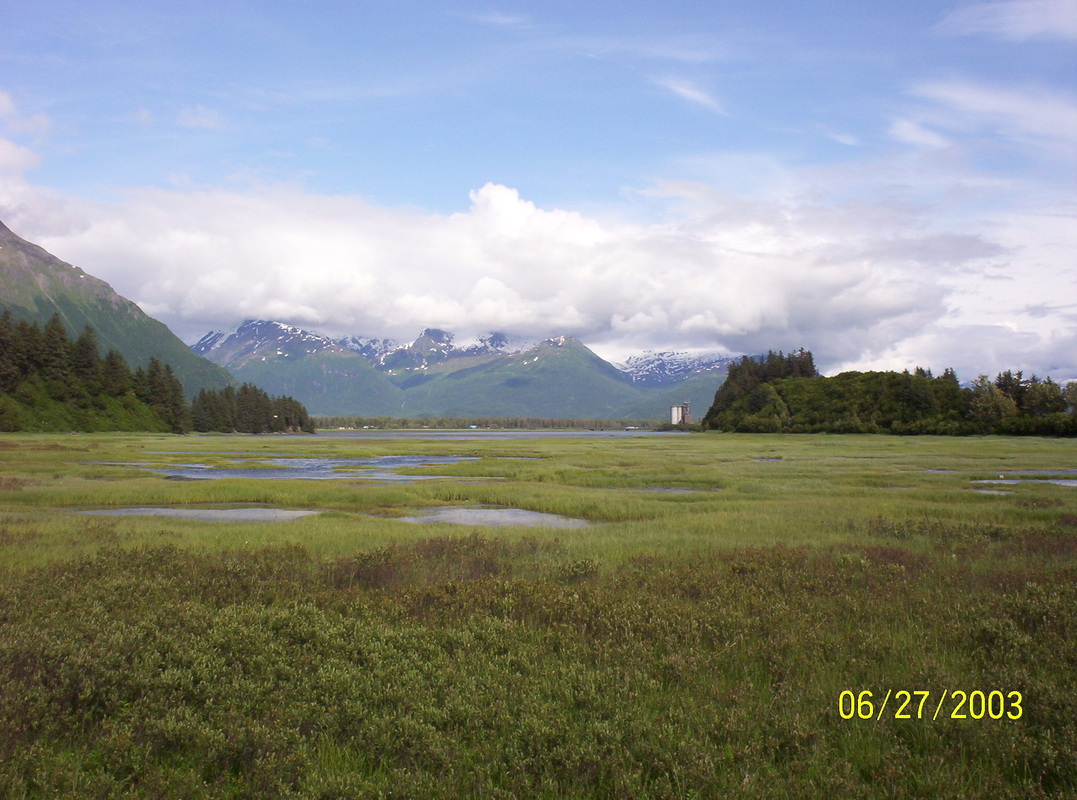
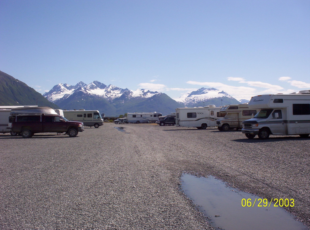
Pull-out 60 miles north of Valdez, AK. We stay there for the night - as others did.....
|
|
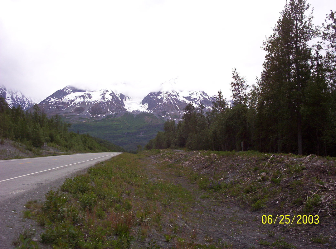
The area around Valdez is called Temperate Rain Forest. Mountains are covered in green almost to the top, and rain and fog happen often.
|
|
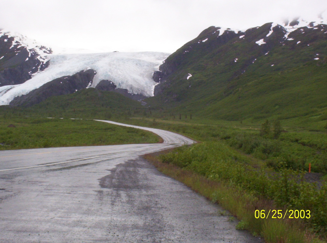
Worthingtom Glacier, ending at the road side...
|
|
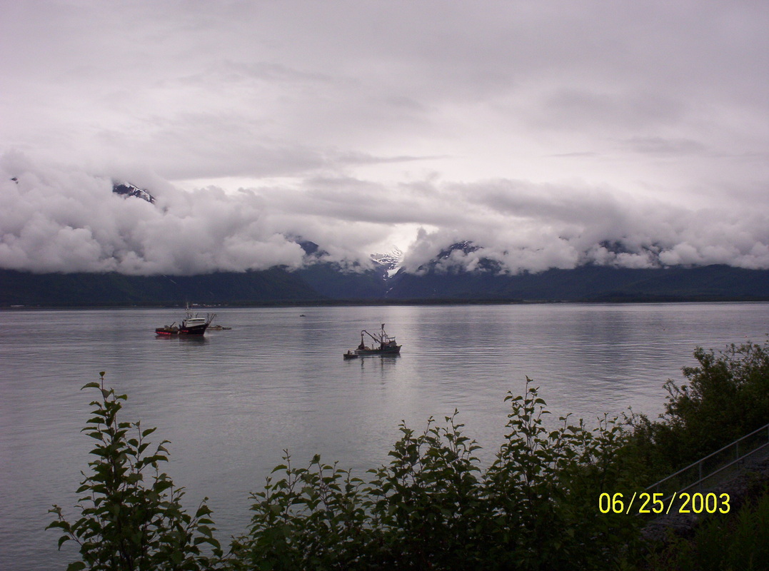
Rain and clouds around Valdez at arrival, hanging around there for a week....
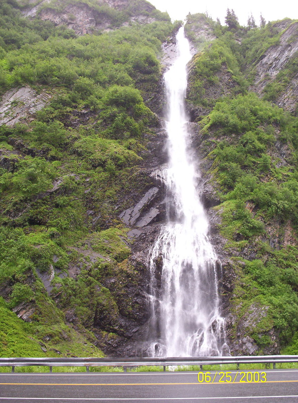
One of the waterfalls shortly before Valdez Parked in Bayside RV Park in Valdez. We cannot wait to look around... Big clouds and the air is very humid and chilly in the Valdez Bay |
|
Interesting clouds, hovering over the bay.
|
|
The vegetation at the mountains are dense, lush and jungle-like.
|
|
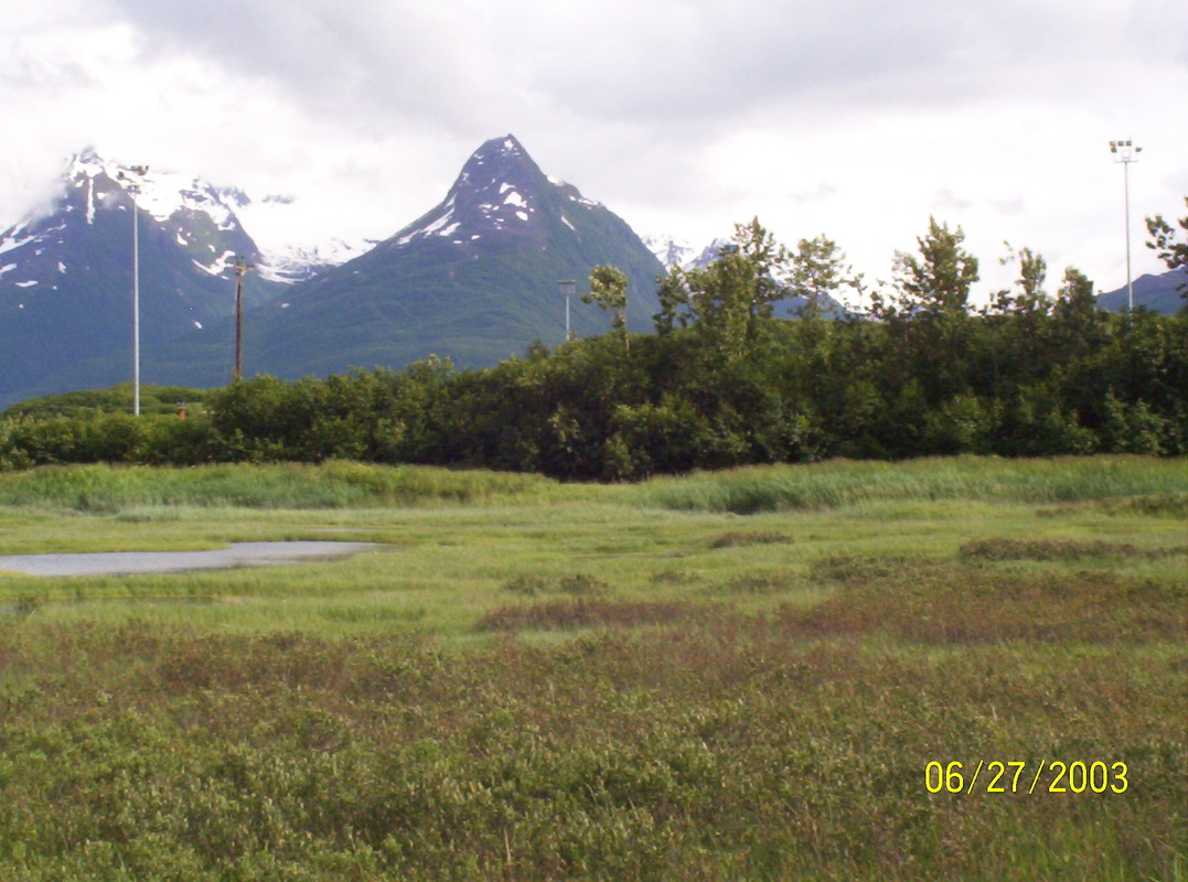
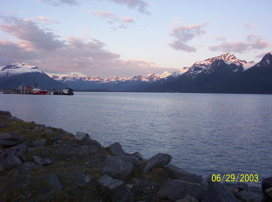
Valdez is surrounded by high mountains with white tops and glaciers ( Chugach Range)
|
|
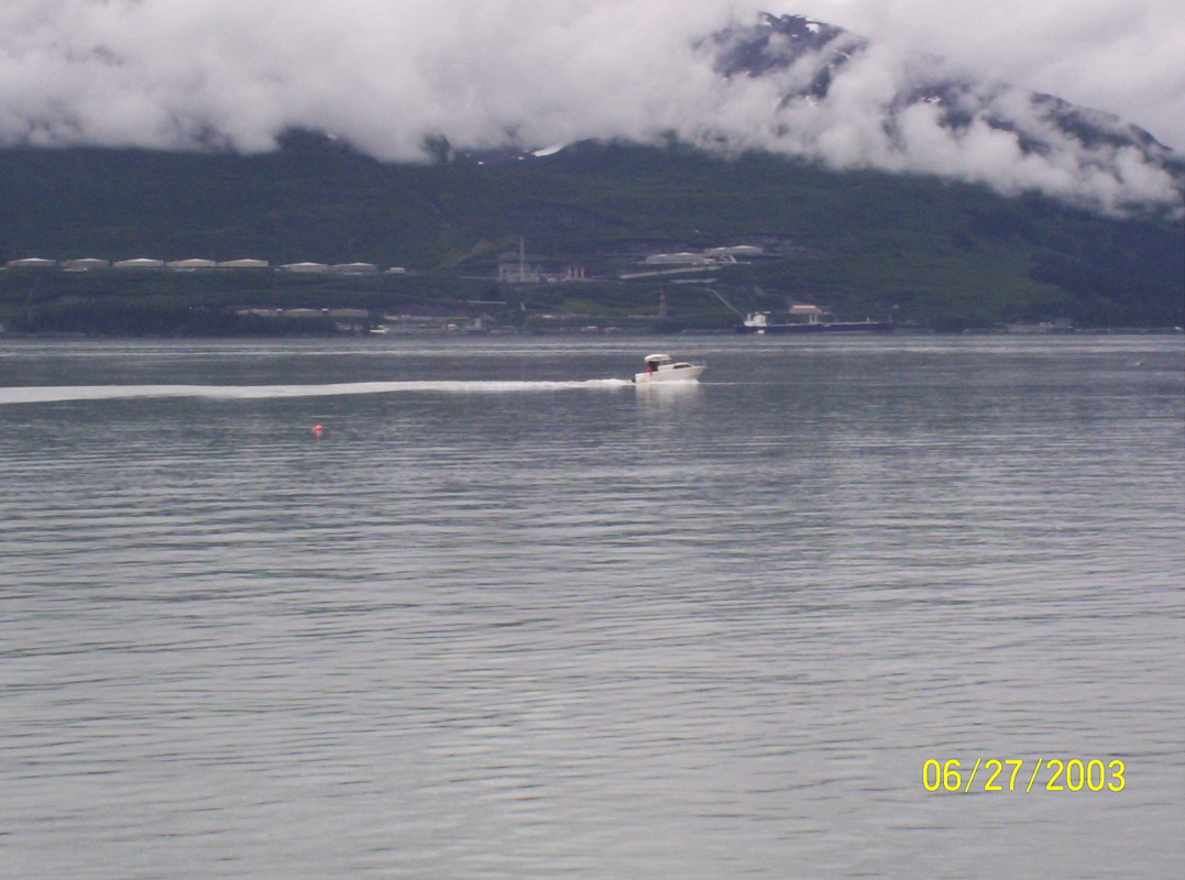
Oil Terminal at the south side of Valdez Bay.
|
|
Humidity en masse....
|
|
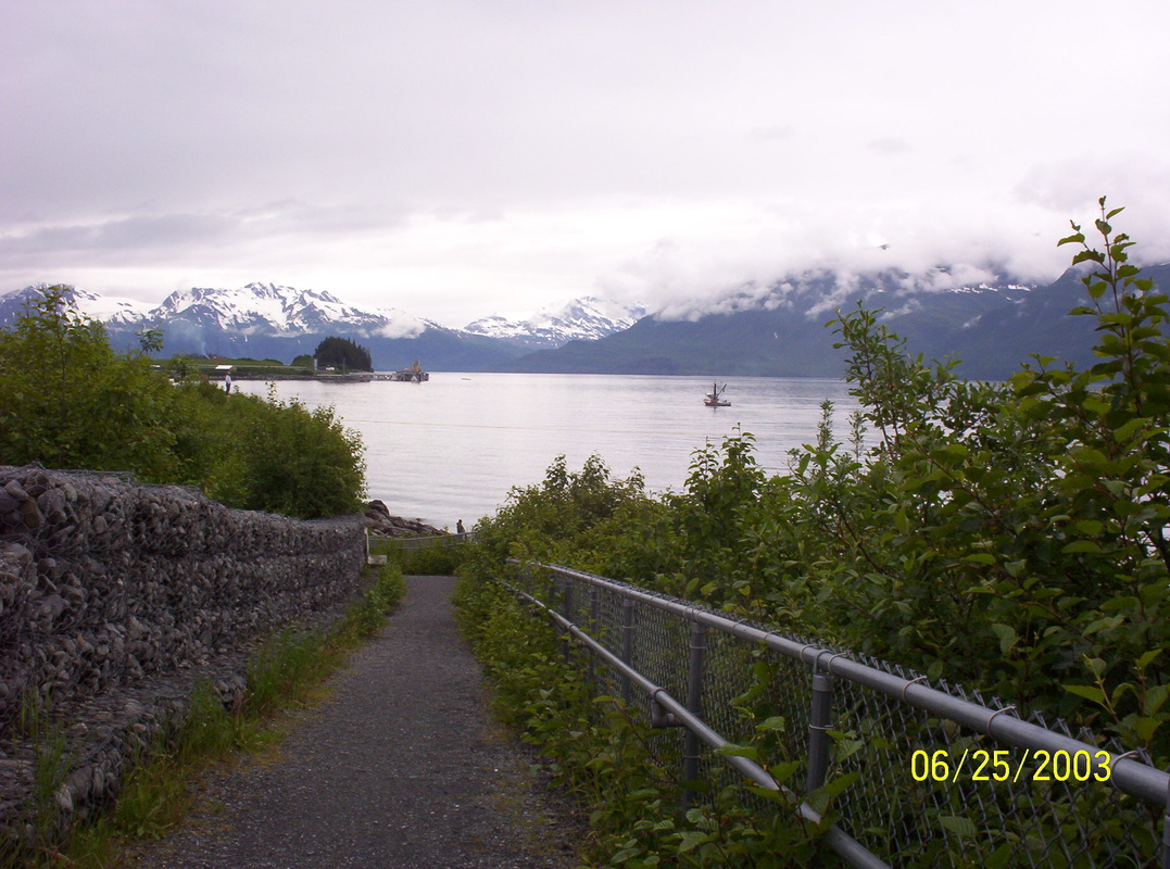
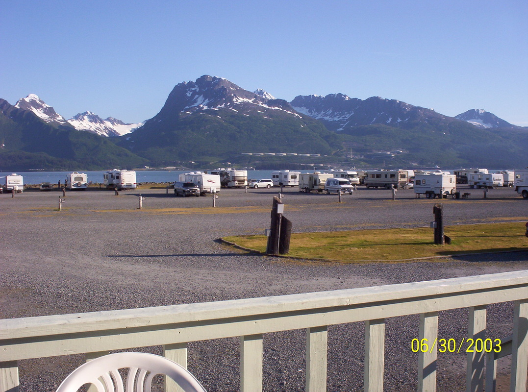
Views from Bayside RV Park
Our motorhome and car on the left . |
|
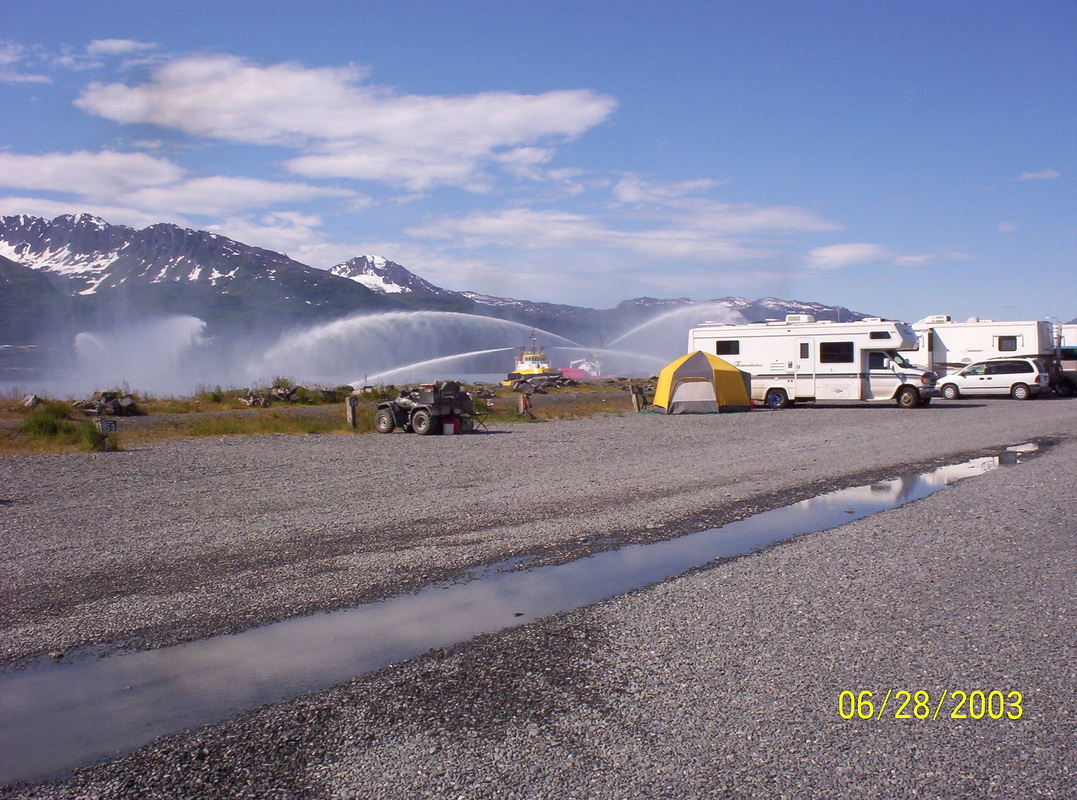
We have moved to Sea Otter RV Park.
|
|
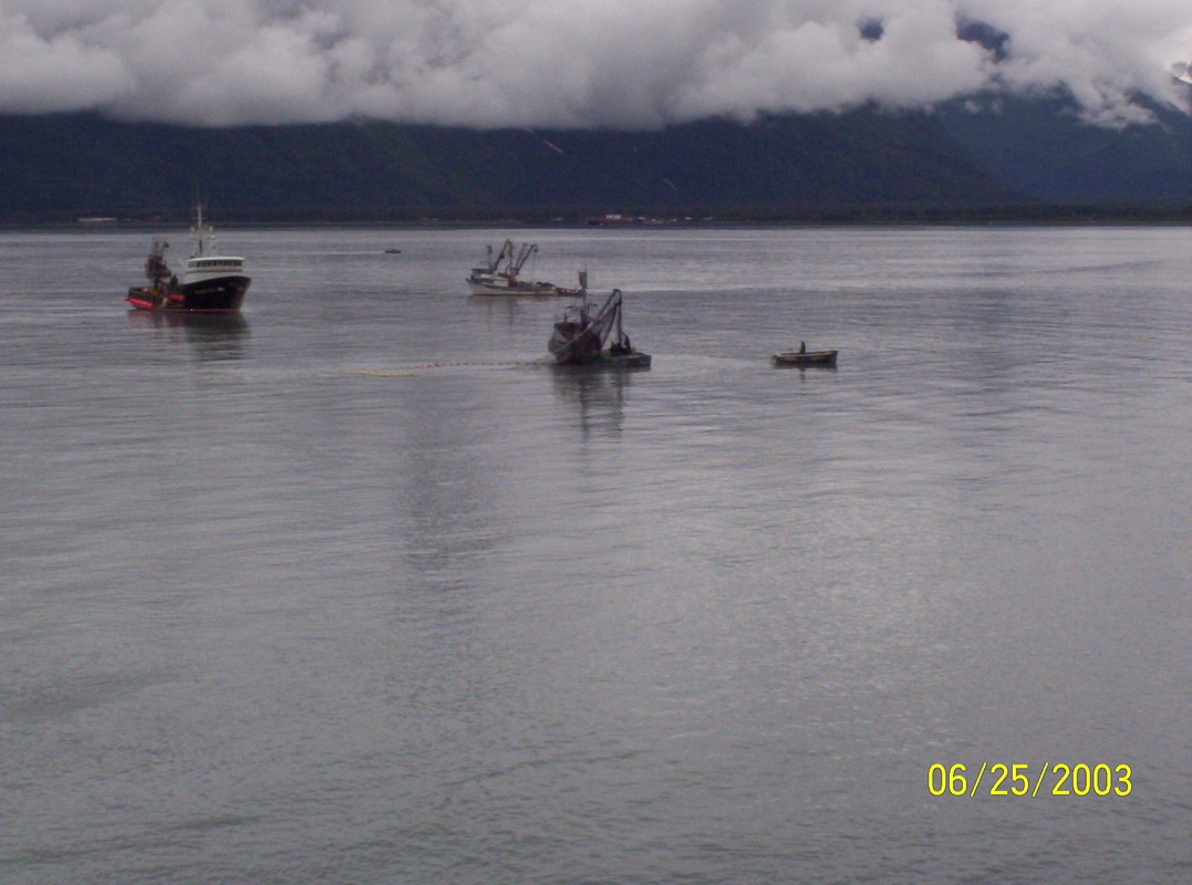
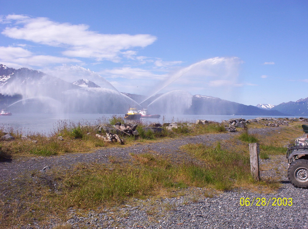
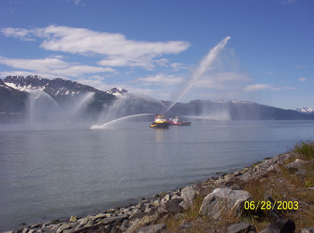
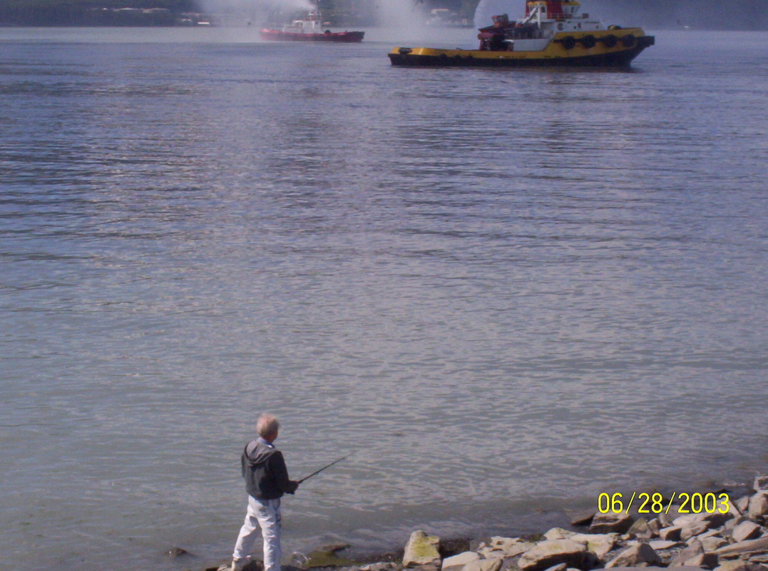
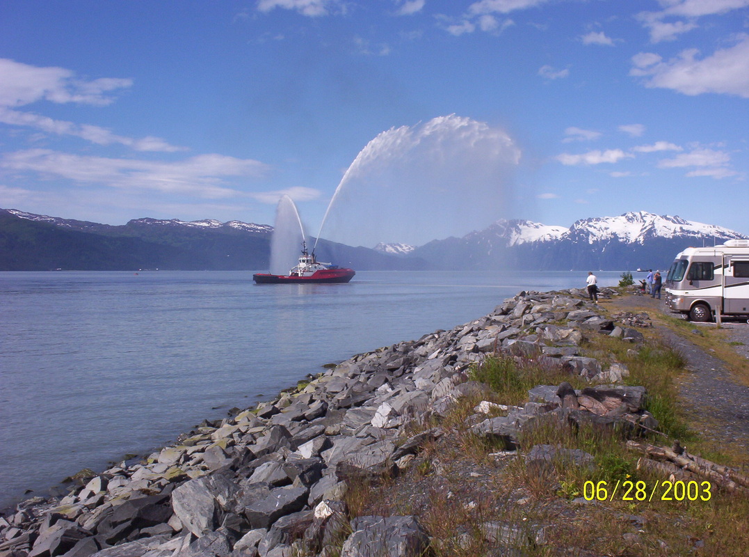
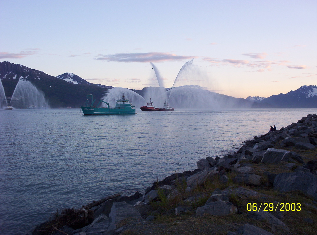
Marine Fire fighter ships exercising and checking out the pumps...
|
|
I think they showed off more than necessary to entertain the visitors - or to celebrate the return of the sunshine??
|
|
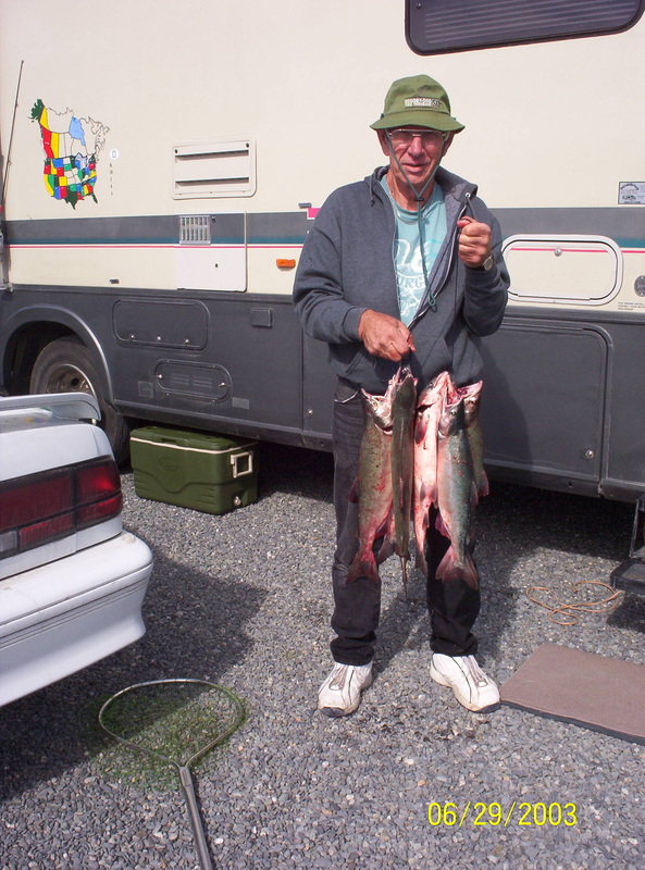
Dieter bought a fishing licence for 3 days to catch Salmon. We had arrived just at the right time - Salmon were almost eager to hook themselves.......
|
|
This campground was very nice, located directly at the bay. Dieter just had to climb down a rocky embankment to fish.
|
|
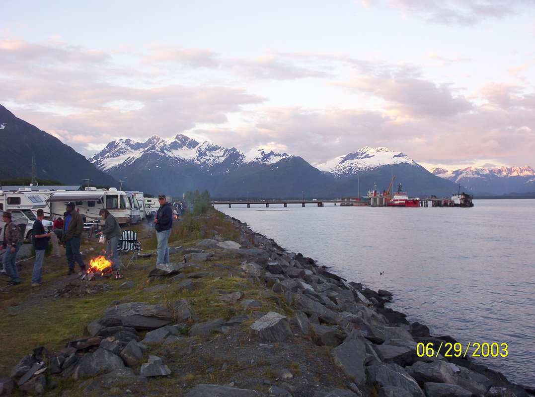
Midnight sun makes the Chugach Mountain tops glow.
|
|
The show did not end before midnight that day
|
|
Midnight at the bay
|
|
Motorhome's new lot ( to the left).
|
|
70-year old Dieter, a little tired but happy.
|
|
View from the Campground office, the oil silos in the background across the bay.
|
|
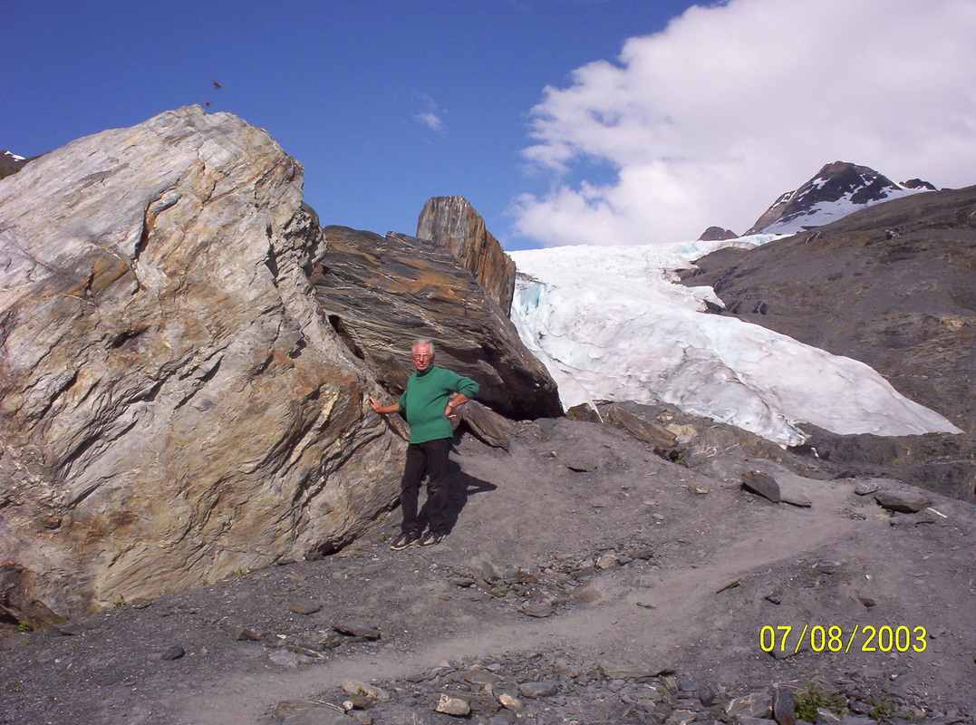
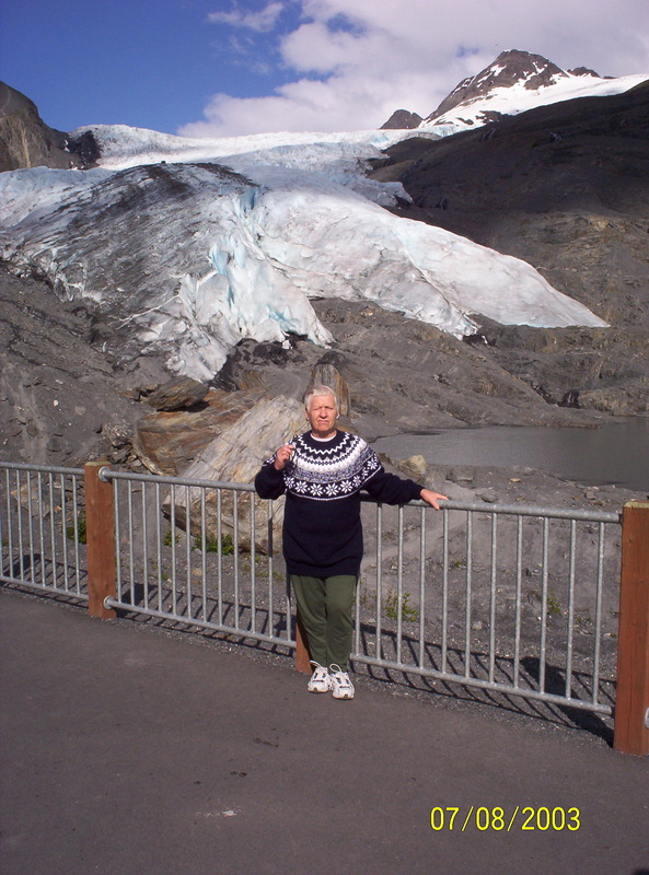
Time in Valdez is up. Back at the Worthingtom Glacier again.
At the moment Dieter took the picture, I had an insect entering my eye... |
|
When you see all these landscapes pics you understand that half of the entire Alaska population lives in Anchorage......
|
|
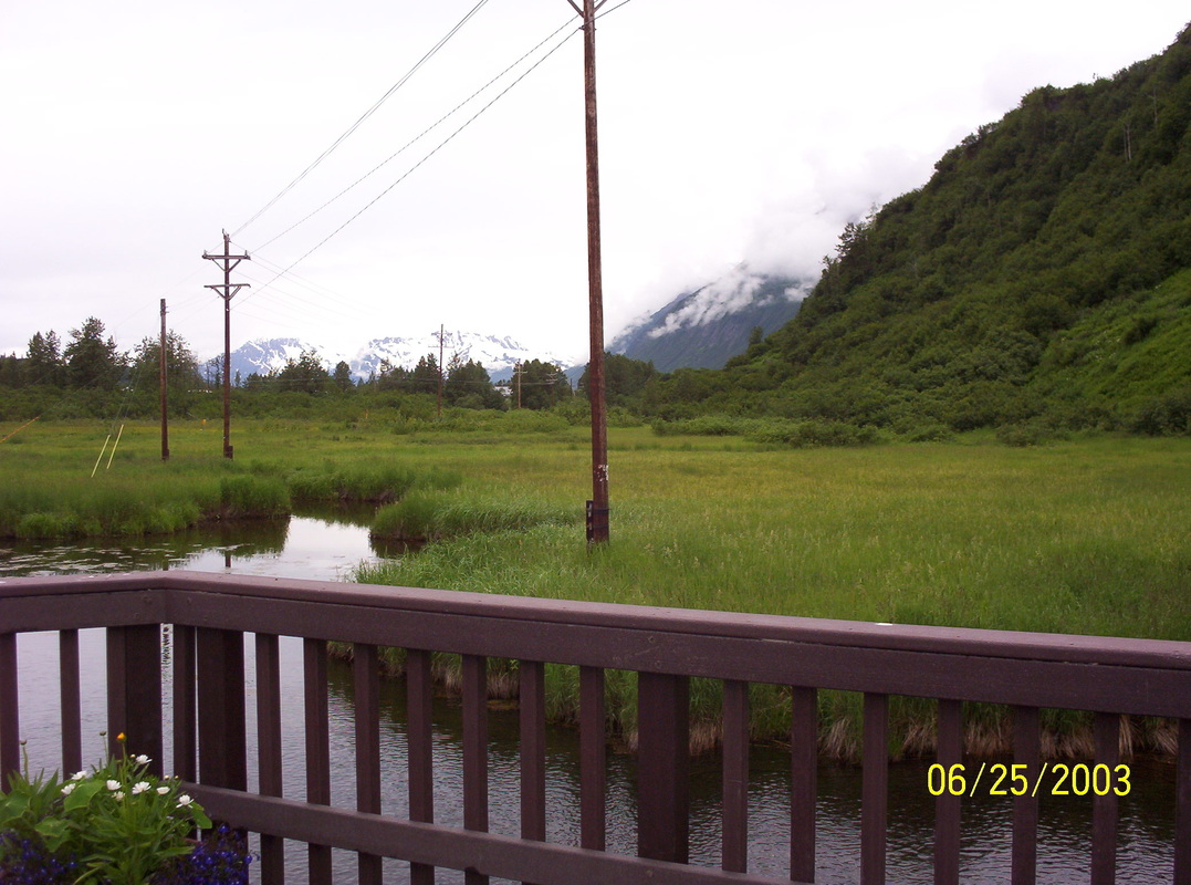
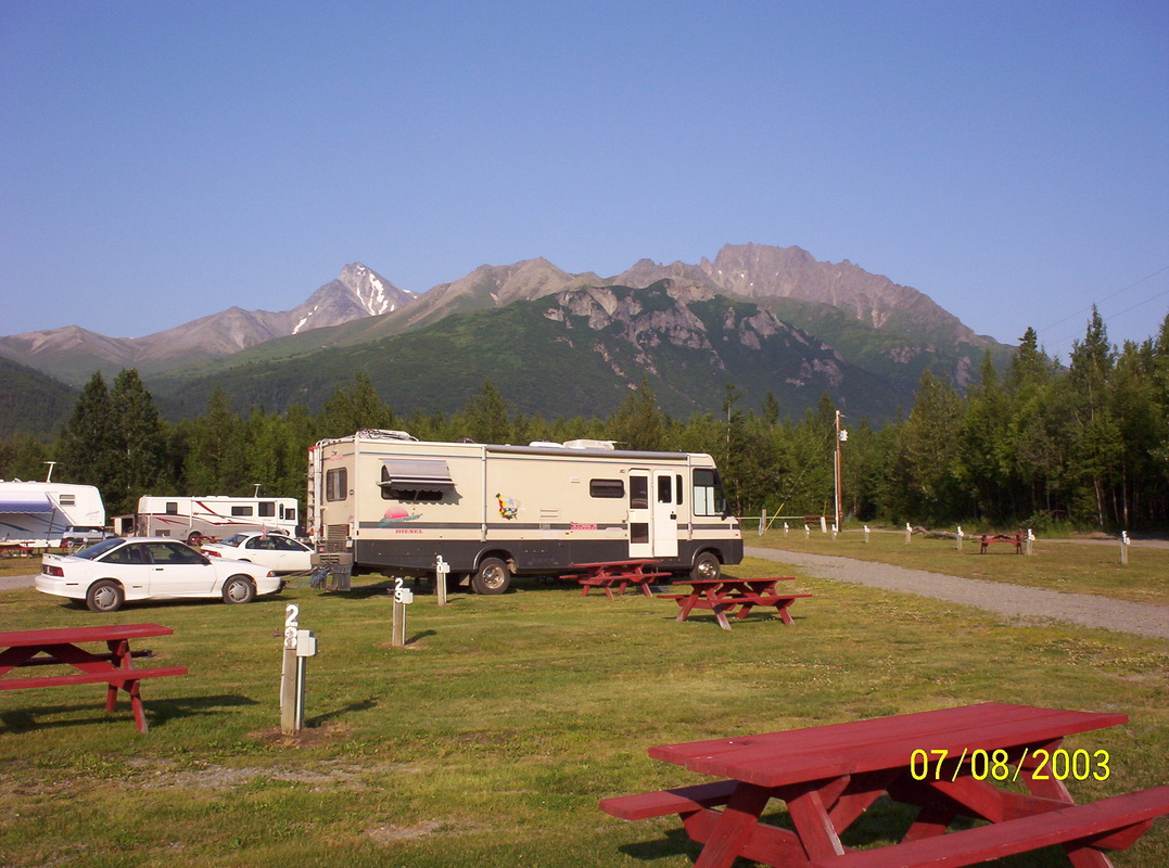
In Palmer again for one night. Mountain View RV Park has a homely feel to it, we liked it there very much. At this time, Matanuska Mountains are almost bare of ice....
We wanted to stay at Walmart in Anchorage, but Walmart did not allow campers anymore to park...so we moved on to Palmer - 272 miles overall for that day. |
|
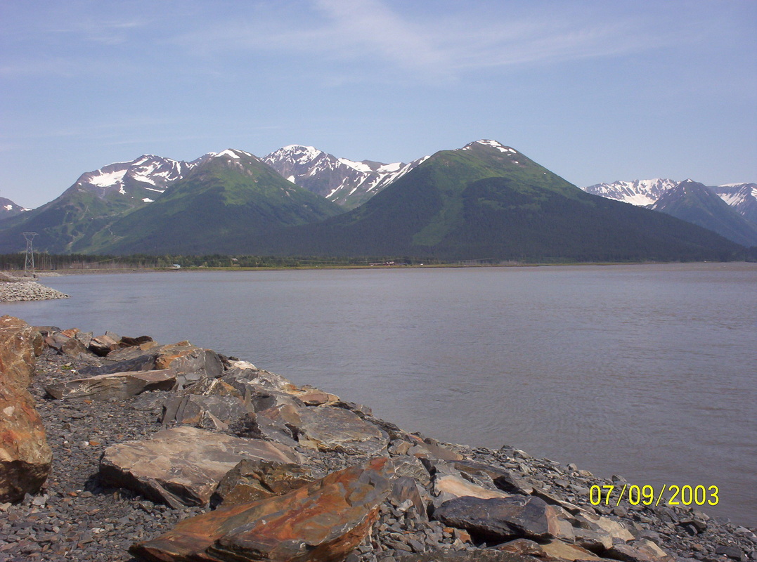
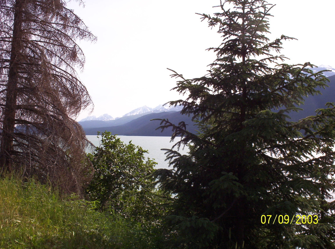
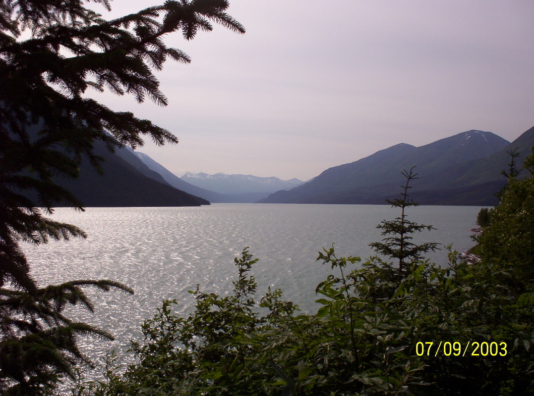
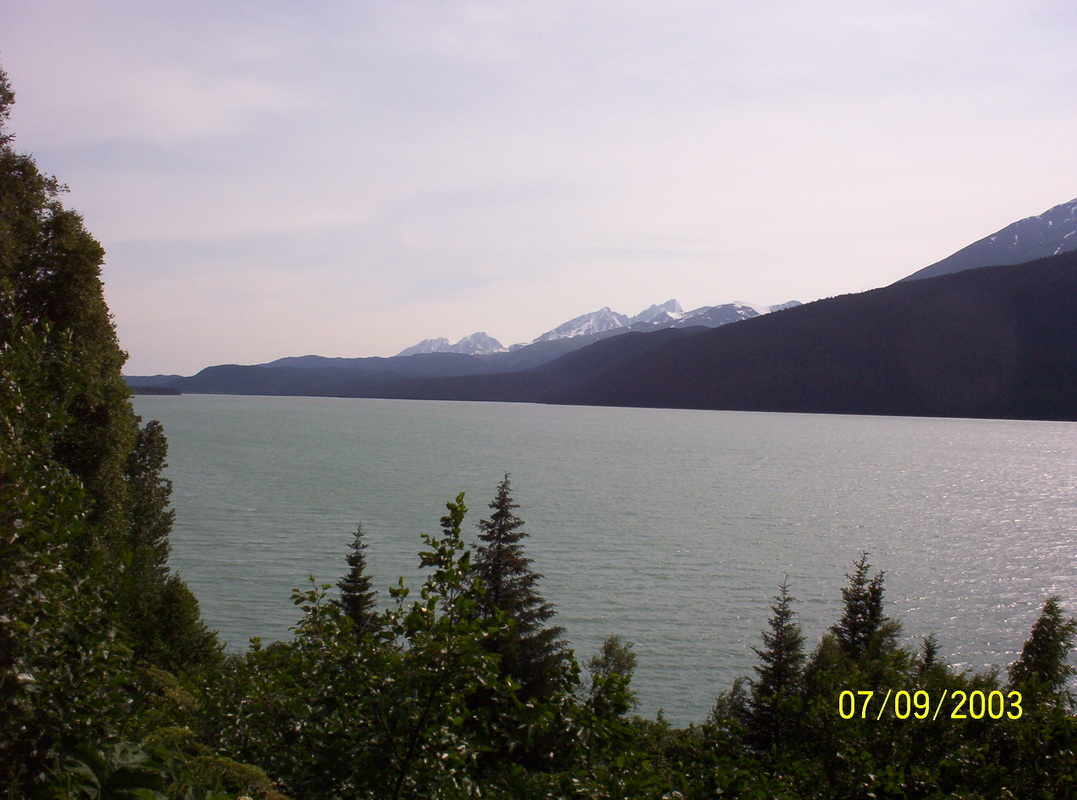
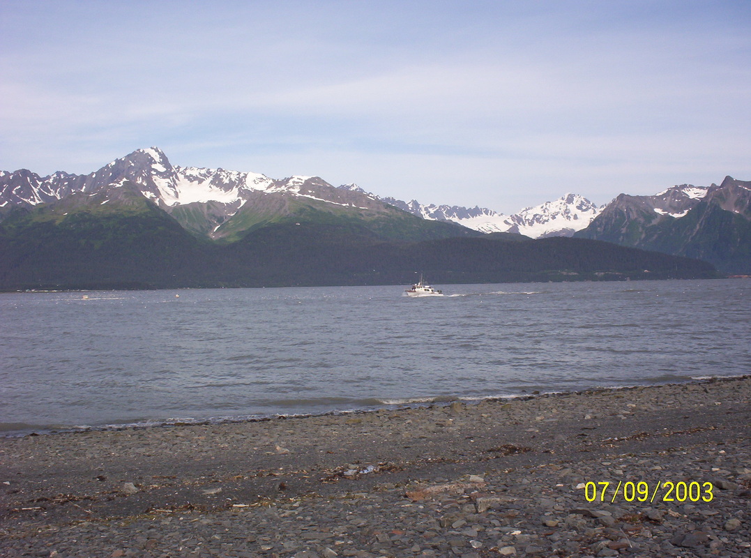
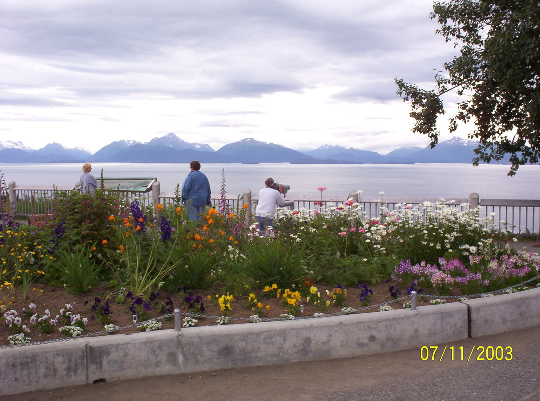
Just starting a wonderful tour around on the Kenai Peninsula, the playground of Alaska.
|
|
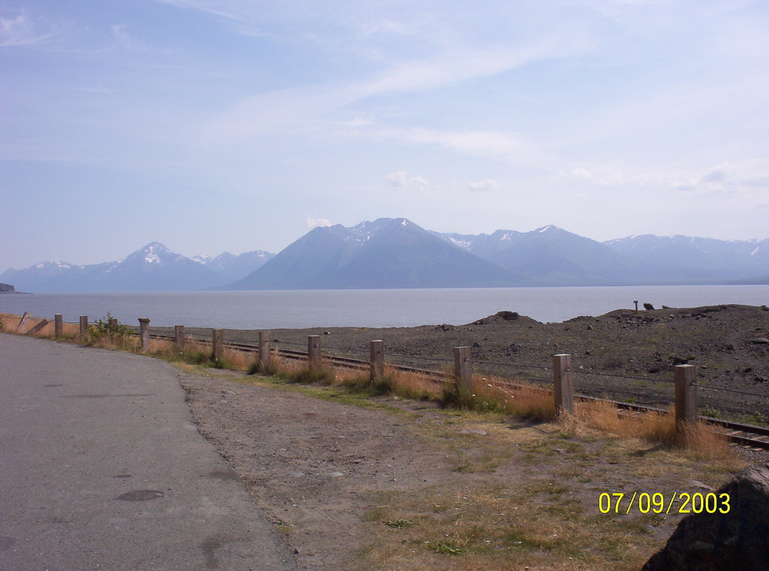
Turn-Again arm in Cook Inlet in direction Seward
|
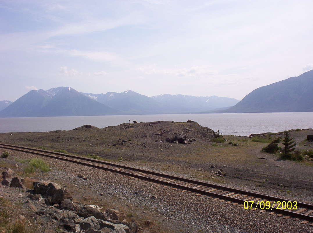
|
On the day we returned from our Kenai trip, we saw the tide rushing into the Turn-again arm of the Cook Inlet. The water came in a very fast moving wave. We were standing at the side with a gaping mouth.......
|
|
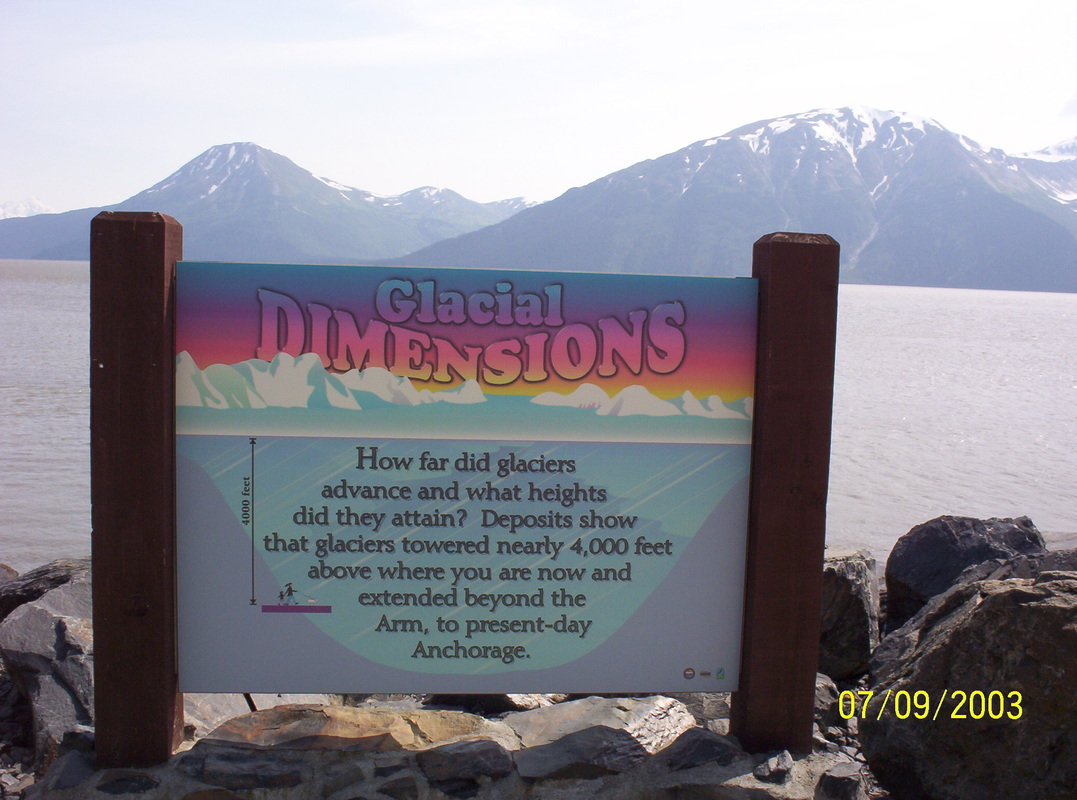
Glaciers come and go since the world turns. 10000 years ago there were no man-made reasons for them to recede.
|
|
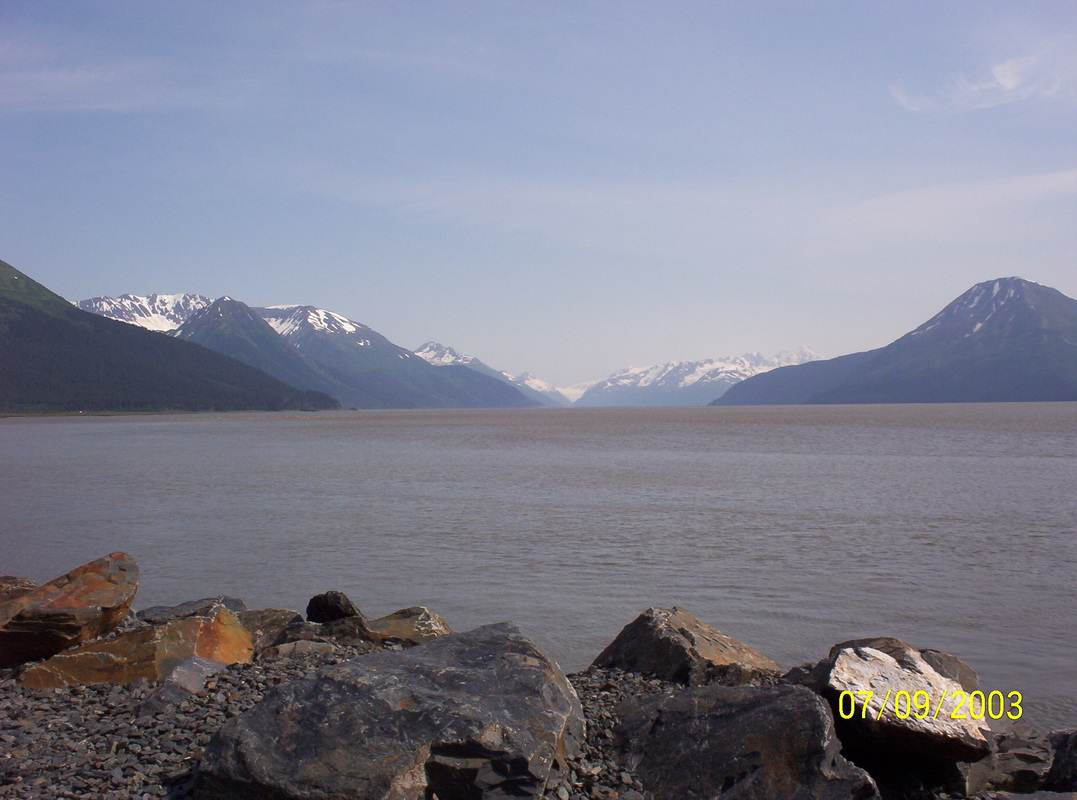
Sky, Mountains and Water.....
|
|
Another similar one.....
|
|
Enjoy!
|
|
A perfect postcard?
|
|
Beauty around every bend...
|
|
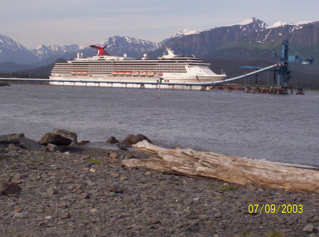
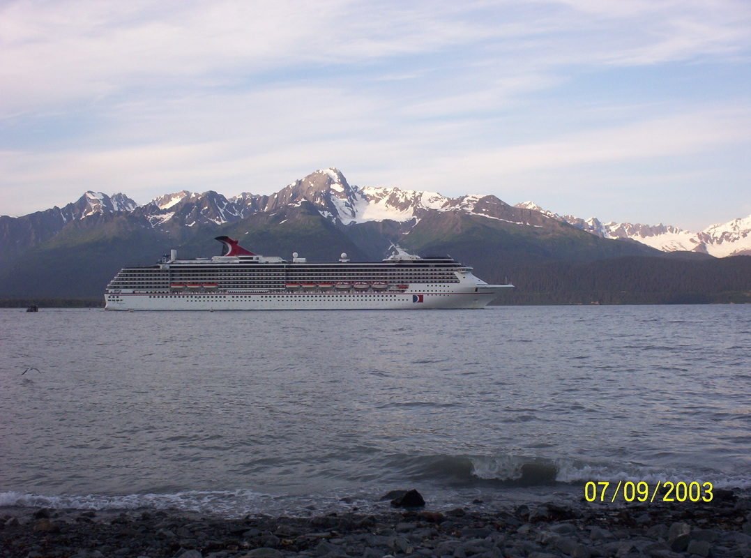
Cruise ship "Carnival Spirit" in Seward.
|
|
View from Waterfront RV Park in Seward.
|
|
Cruise ship is leaving the harbor
|
|
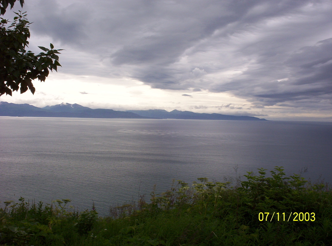
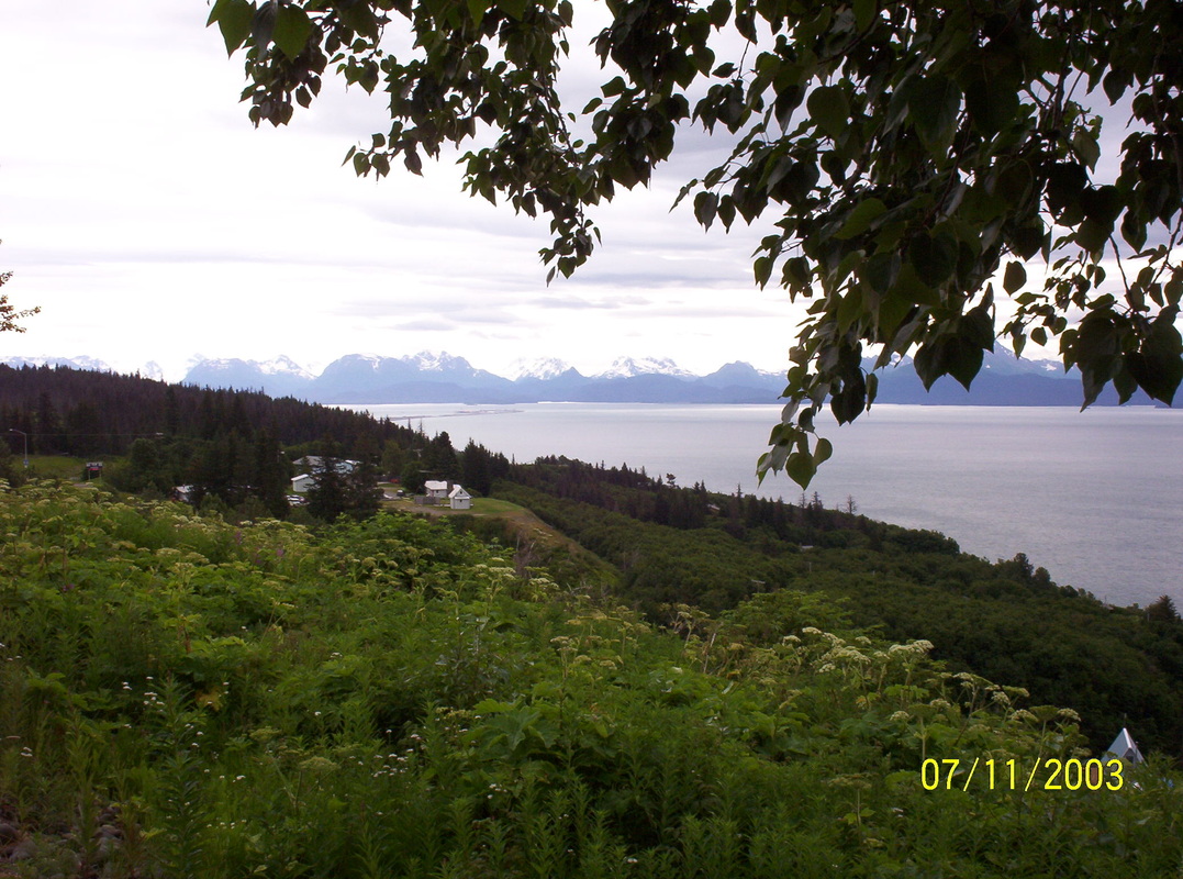
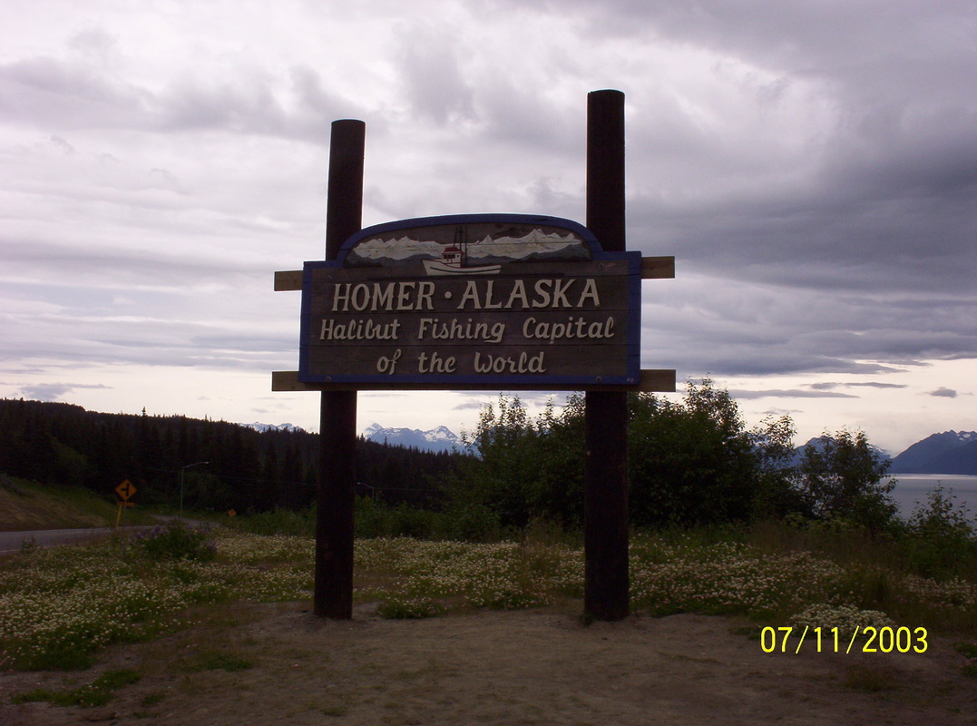
Back to Moose Pass in direction Soldotna to Homer, to the west coast of Kenai.
We had lunch in Soldotna, Chinese outtake. After arriving in Homer, at Mariner Park, we had an ocean view! |
|
The background is the northern part of the Aleutian Range.
|
|
I had to look out for a strong foreground with all that background....
|
|
...without further explanation!
|
|
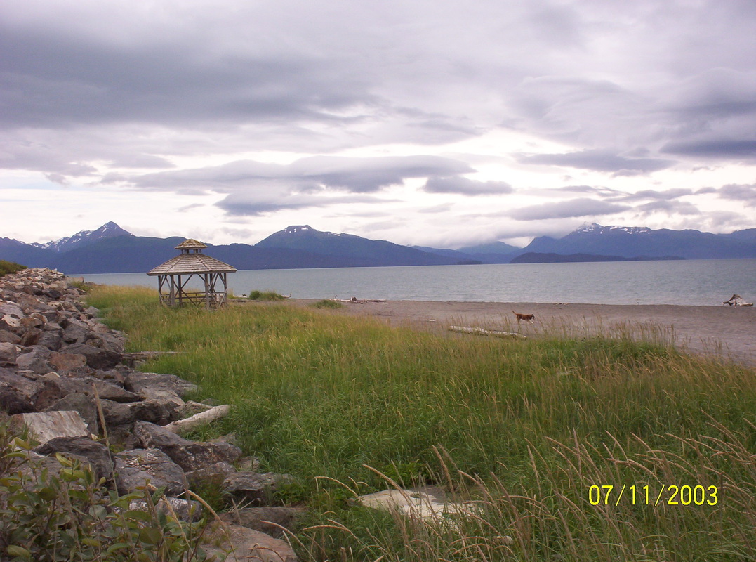
Really nice beach...
|
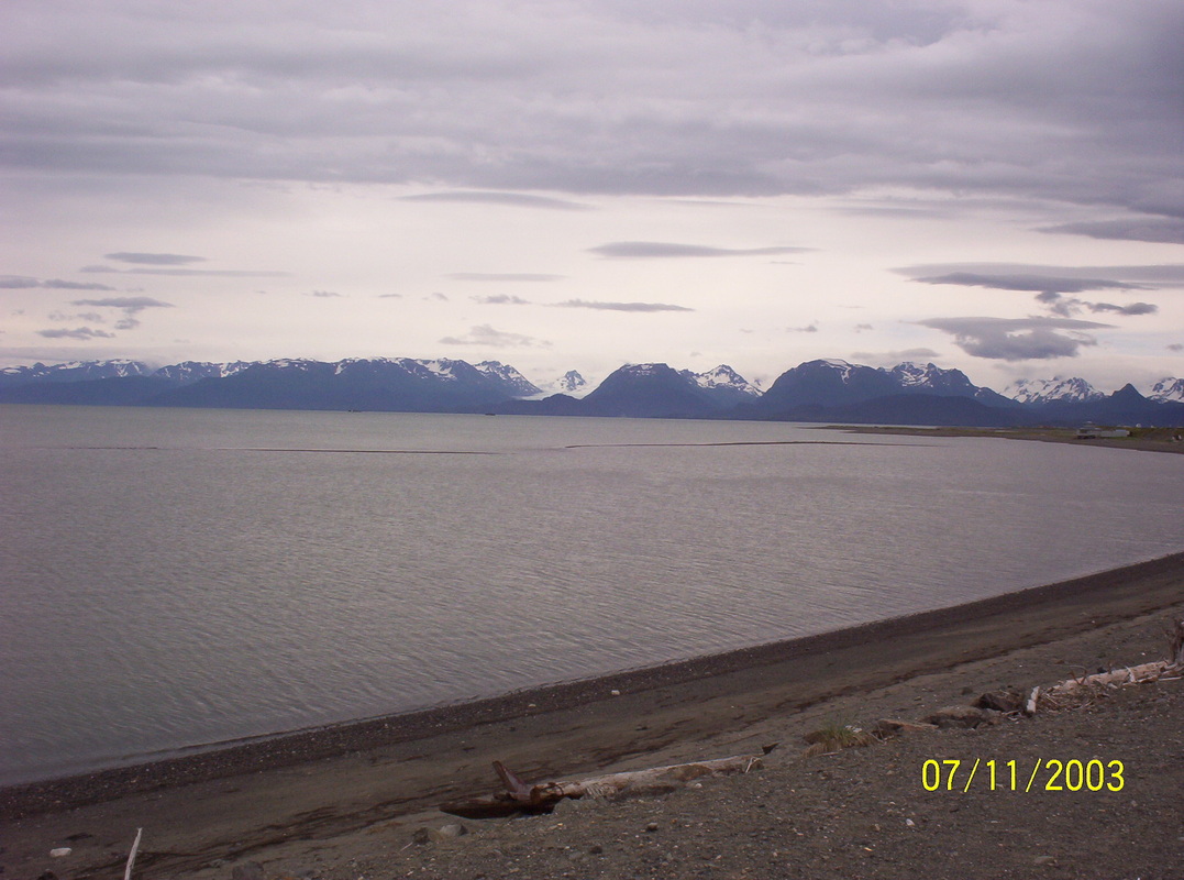
|
Empty beach in summer....
|
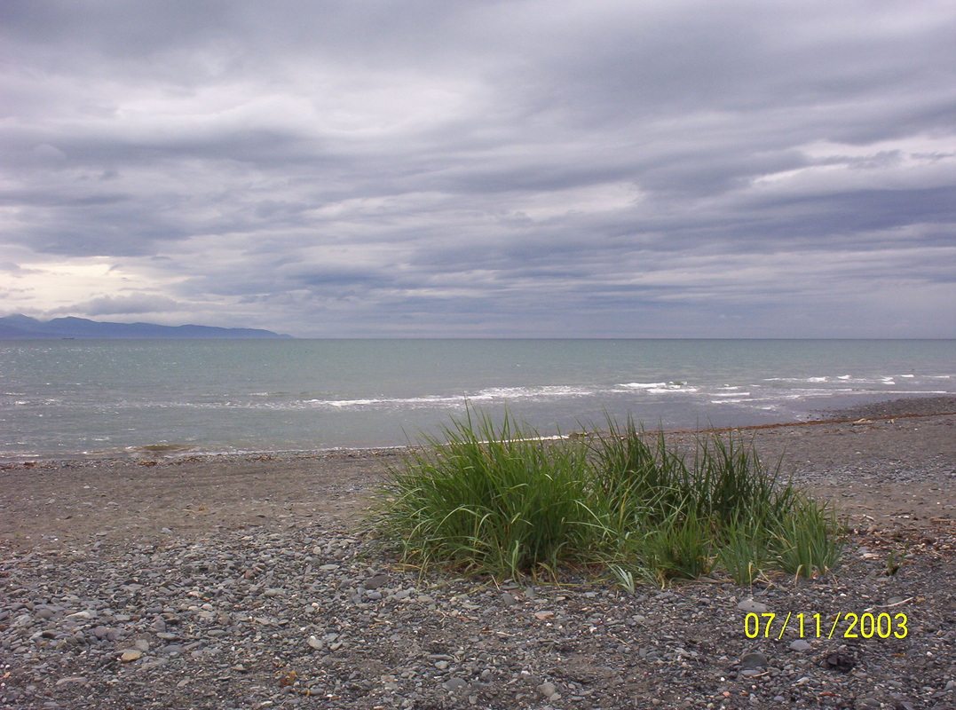
|
Cool Beauty
|
|
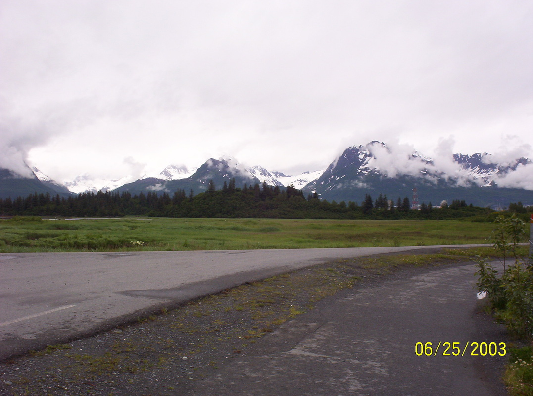
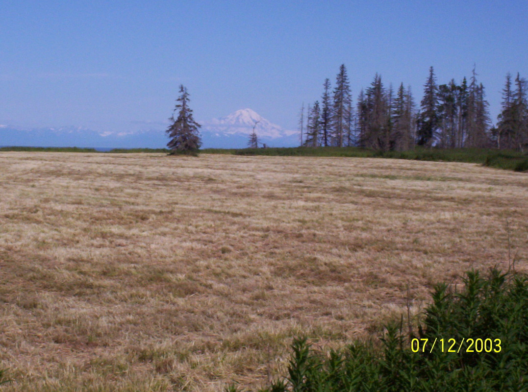
Driving from Palmer to Denali Ntl. Park. Mt. McKinley (Denali) in the background, clearly visible....
|
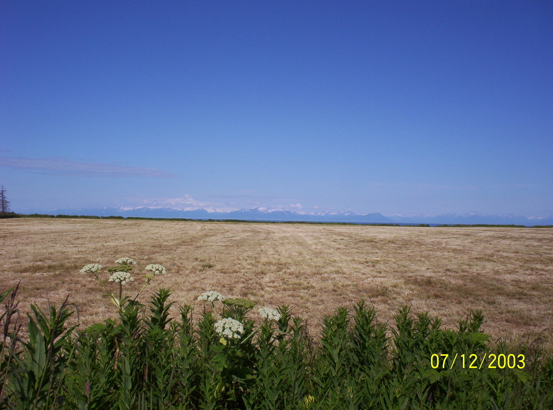
|
.....same here...
|
|
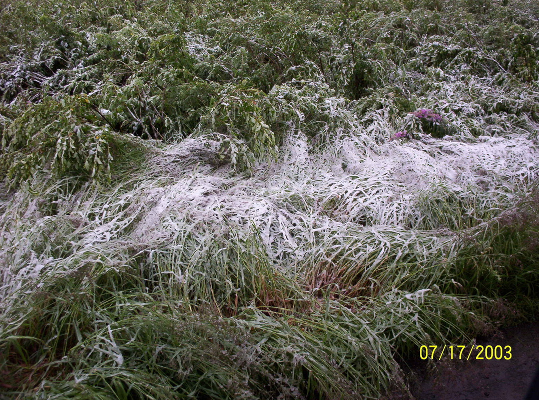
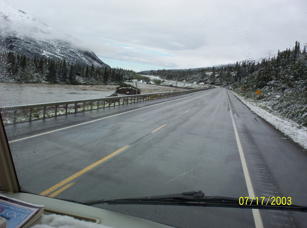
Pull-out near Denali Ntl. Park, where we had to stay overnight on July 16th because a massive Low moved in. We could not see the mountains anymore, rain drizzle started and the thermometer fell at a pace you could see. It was getting very cold and it started snowing and it rained ice, all at the same time.
|

|
The other morning the world was white and stiff, Fireweed visible unter blank ice.....
|
|
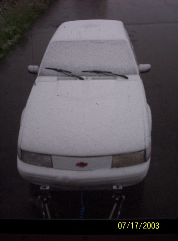
Our towed Chevy looked like he spent the night in a freezer.
|
|
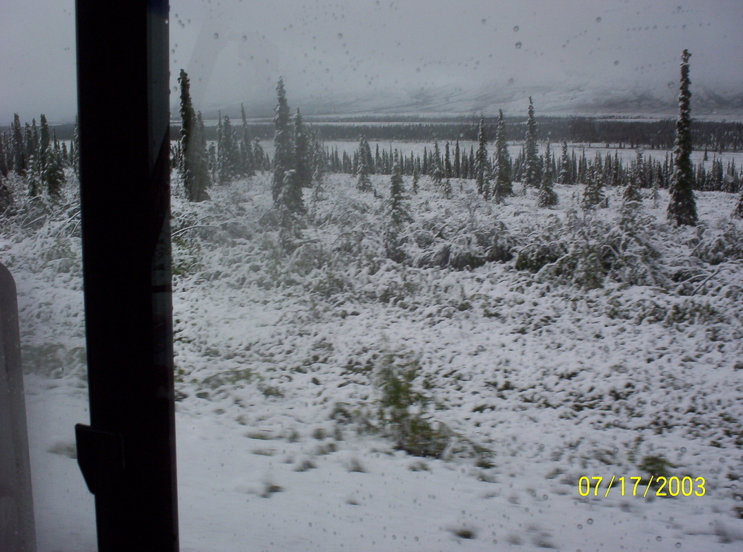
View from the motorhome window.
|
|
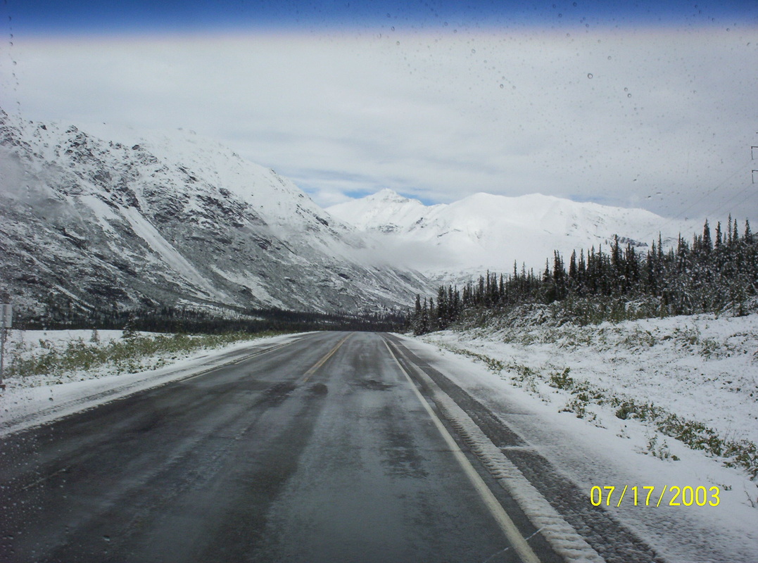
We drove very carefully to the Denali Visitor Center to inquire about the weather. No forecast to the better for 3 days...We bought a handful of cards and left. The highway was still wet and careful driving was indicated. Living 16 winters in northeast Pennsylvania provided good training for mastering wintery road conditions.
We could not see the Demali even from the Visior Center. |
|
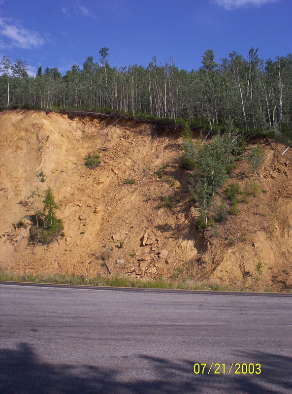
Accidents happened here and we later heard that the road had to be closed for a while, nearby land slides happened also...
|
|
The more north we drove en route to Fairbanks, the warmer it got...
|
|
...warmer even more...
|
|
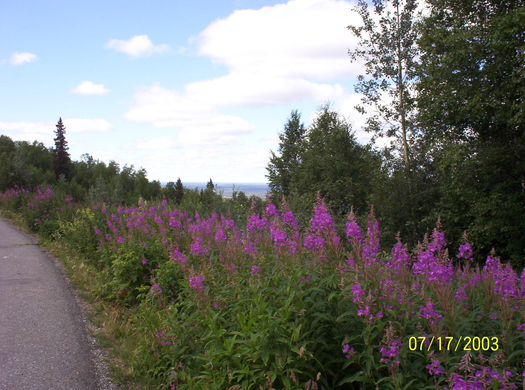
Eventhough the state flower of Alaska is the "Forget-Me-Not" - the Fireweed gets the crown, it grows everywhere and look good!!
|
|
Usually it is firs and short pines, this piece of land was blessed with a lush leaves forest.
|
|
Mixed trees look good as well....
|
|
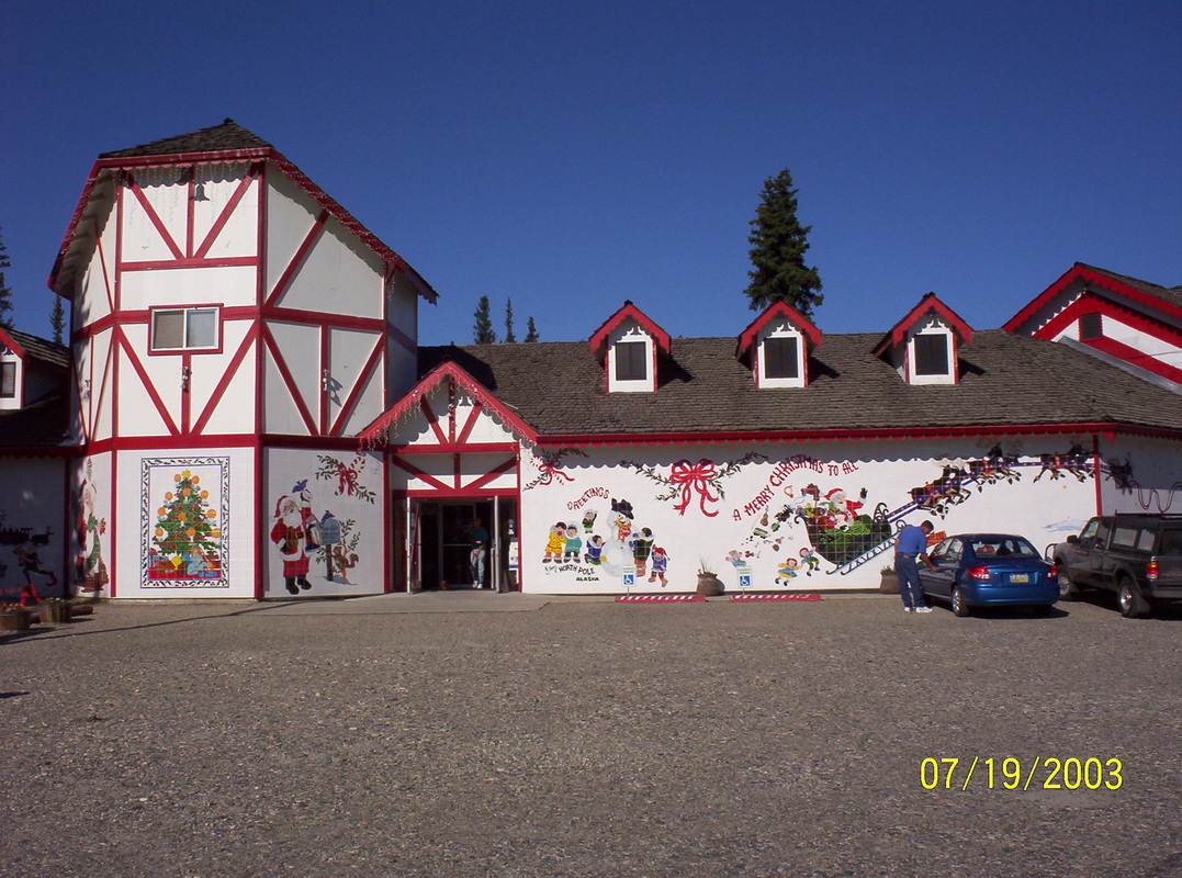
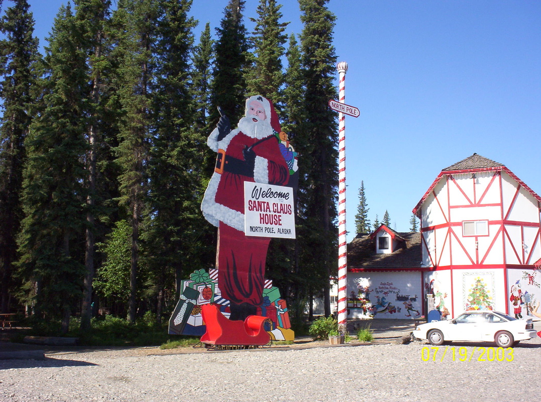
After one overnight in Fairbanks, were we enjoyed 92 degrees after having had frost at Denali the night before, we reached North Pole...
|
|
Zoomed in..................
|
|
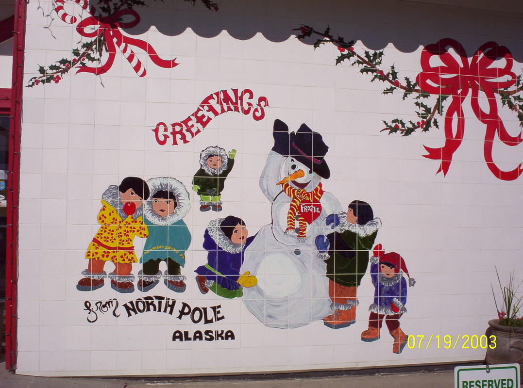
Known all over the world...
|
|
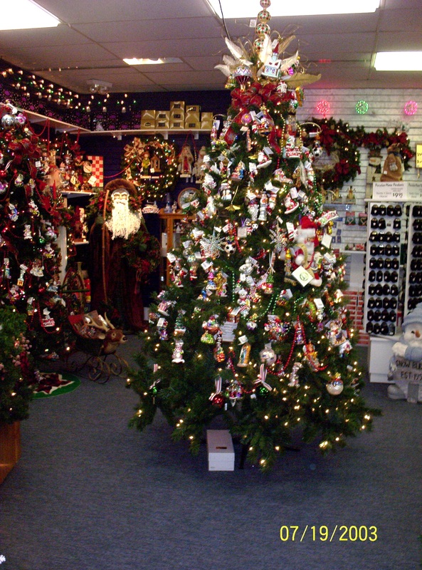
Christmas spirit resides here every day.
|
|
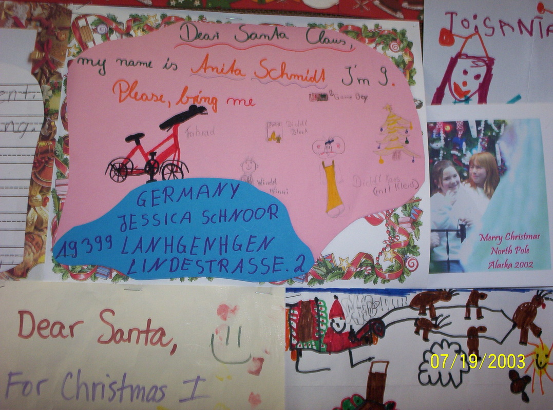
Kids' letters to Santa posted on inside walls.
|
|
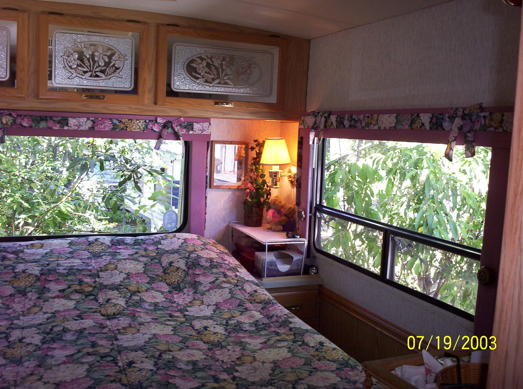
Here I let you peek into our bedroom in the motorhome. Isn't it nice to be surrounded by bushes and trees? Living in a Recreational Vehicle is wonderful - that is at least our opinion and experience.
|

|
On our way to Tetlin Junction.
|
|
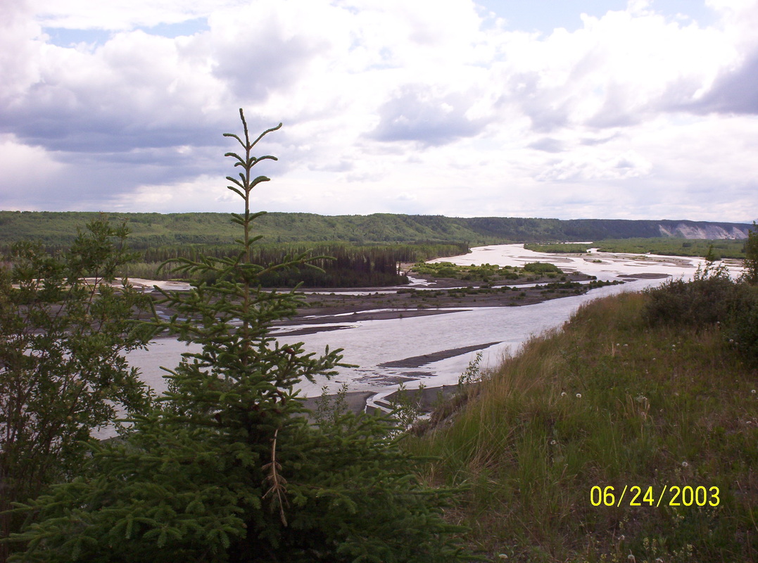
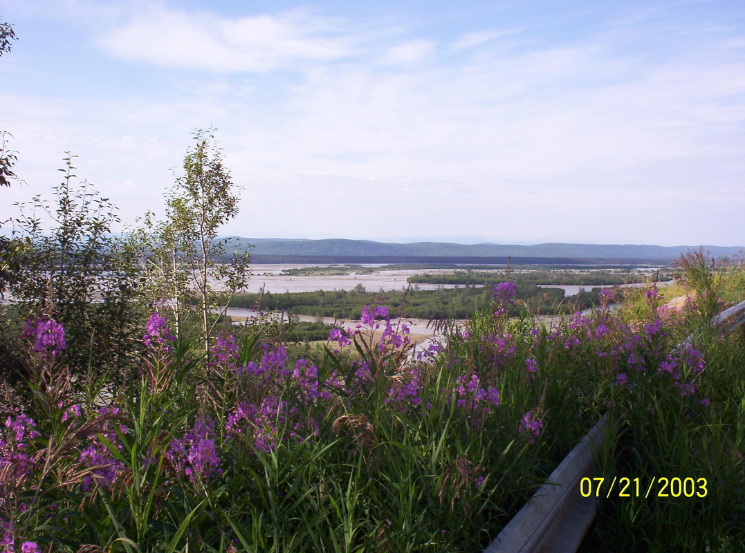
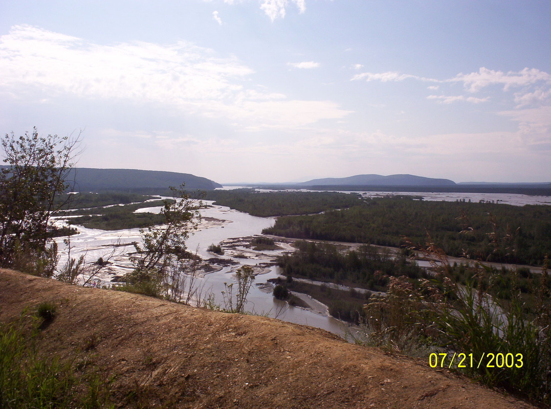
Tanana River
|
|
One can see the layers of the dirt....the very thin humus layer where the trees grow....
|
|
Tanana River
|
|
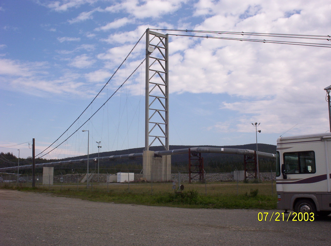
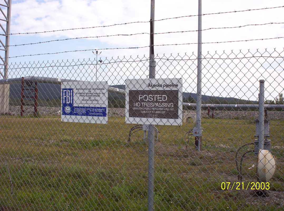
Alyeska Pipeline near Delta Junction
|
|
Alyeska Pipeline....
|
|
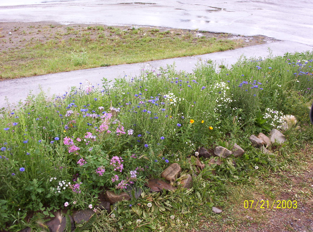
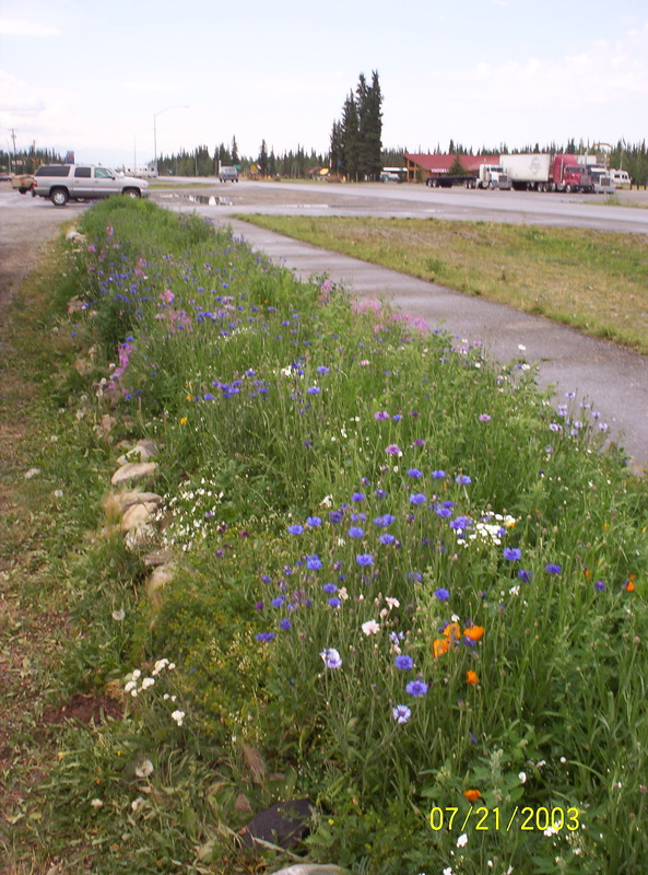
Wildflowers in Tok, AK
|
|
The city ofTok, a junction of roads...
|
|
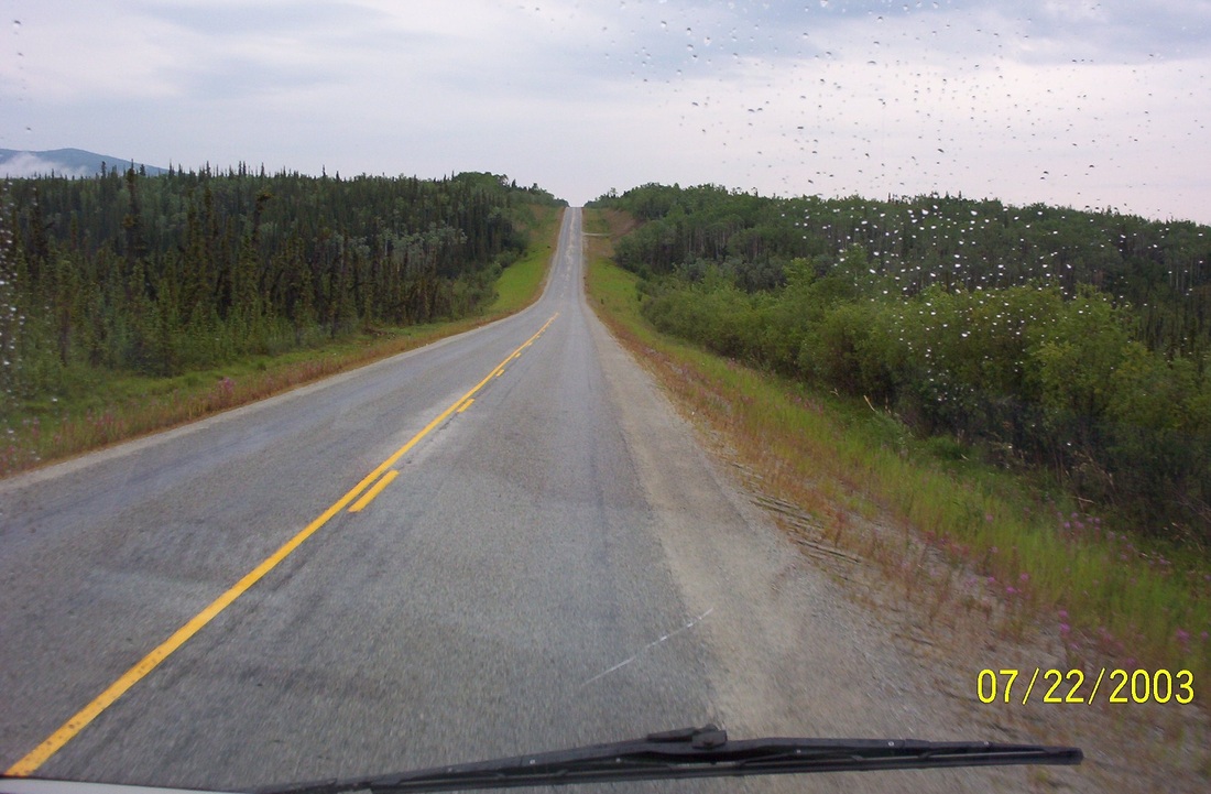
Driving the "Road on top of the world"
|
|
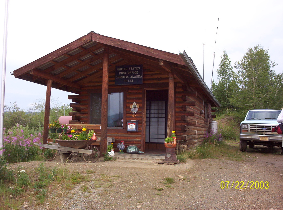
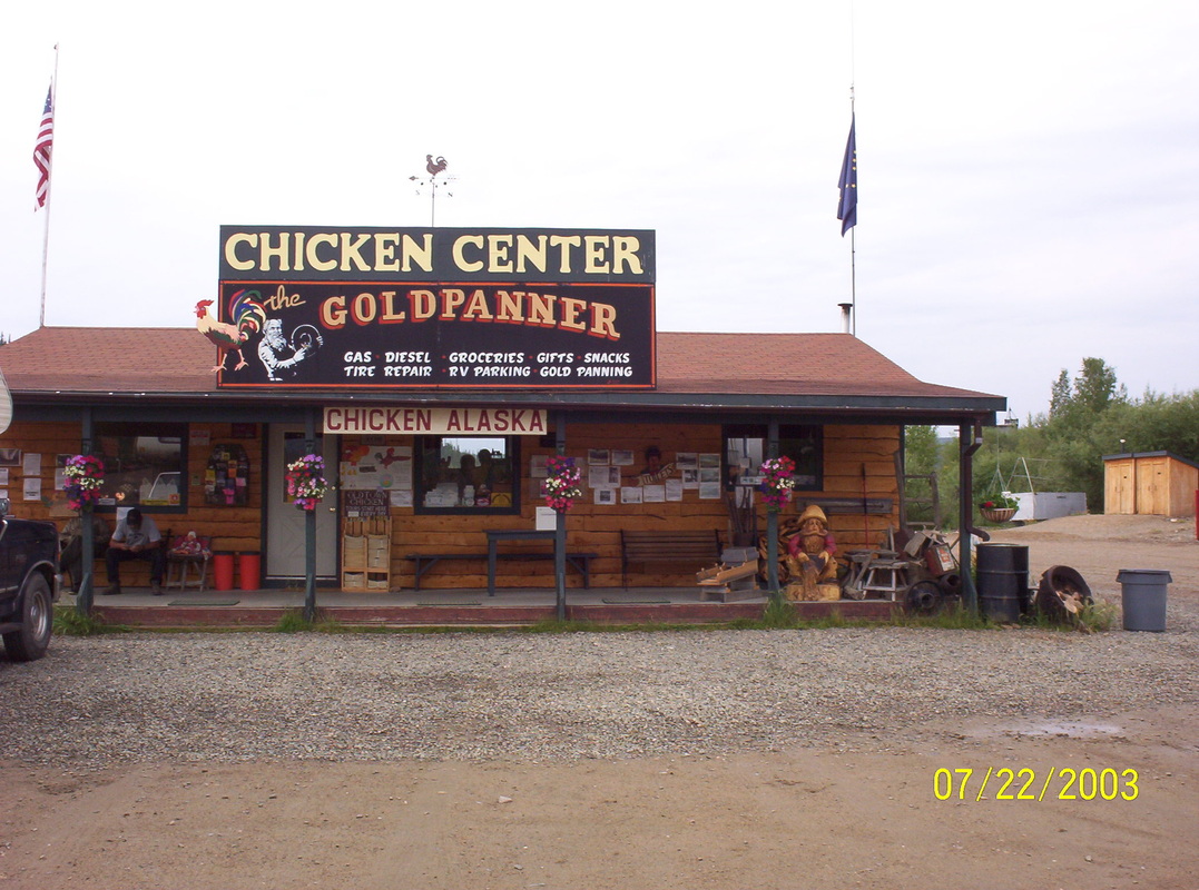
The smallest Post office in the USA is located in Chicken, Alaska
|
|
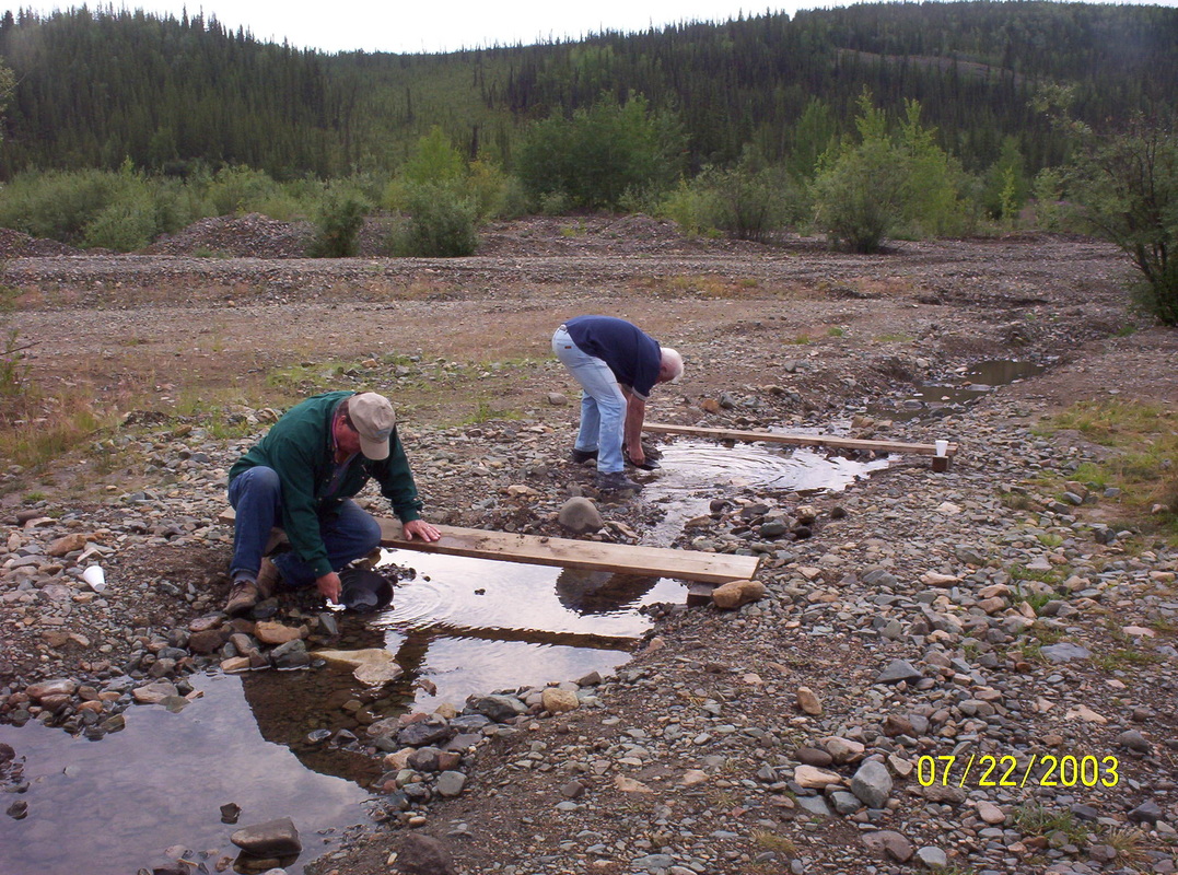
Two campers panning for gold....
|
|
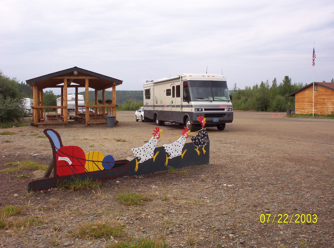
Even has room for a few campers, but we want to move on to Dawson City....
|
|
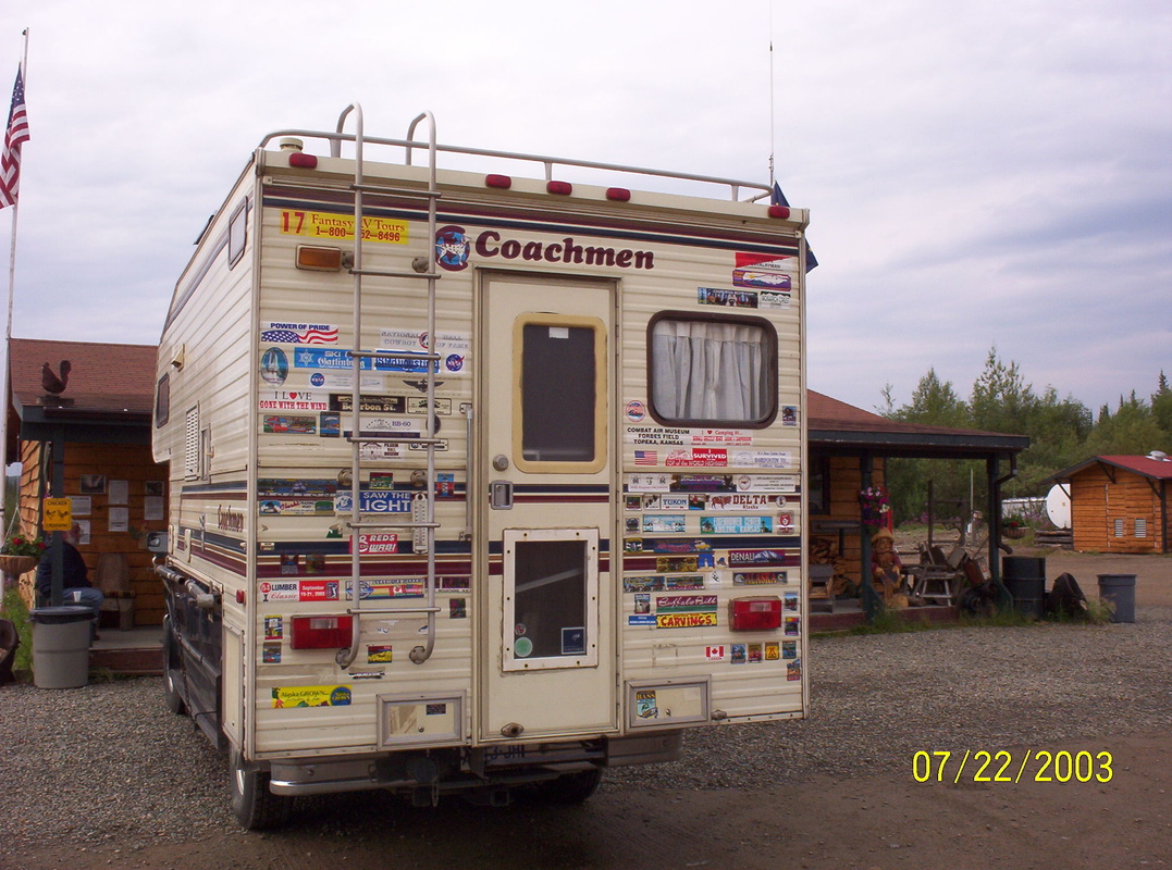
This truck camper had so many decals that I had to take a pic of it.
This size vehicle is to recommend for a tour where you want to stray away from the main roads a little and explore more.... |
|
Self-explanatory....
|
|
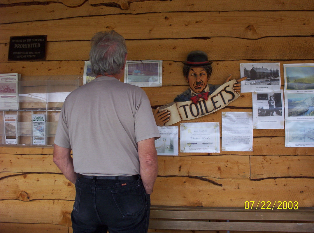
Dieter studies Chicken News.....
|
|
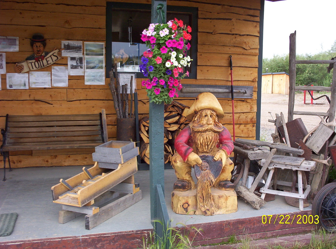
Someone over there is a good wood carver......
|
|
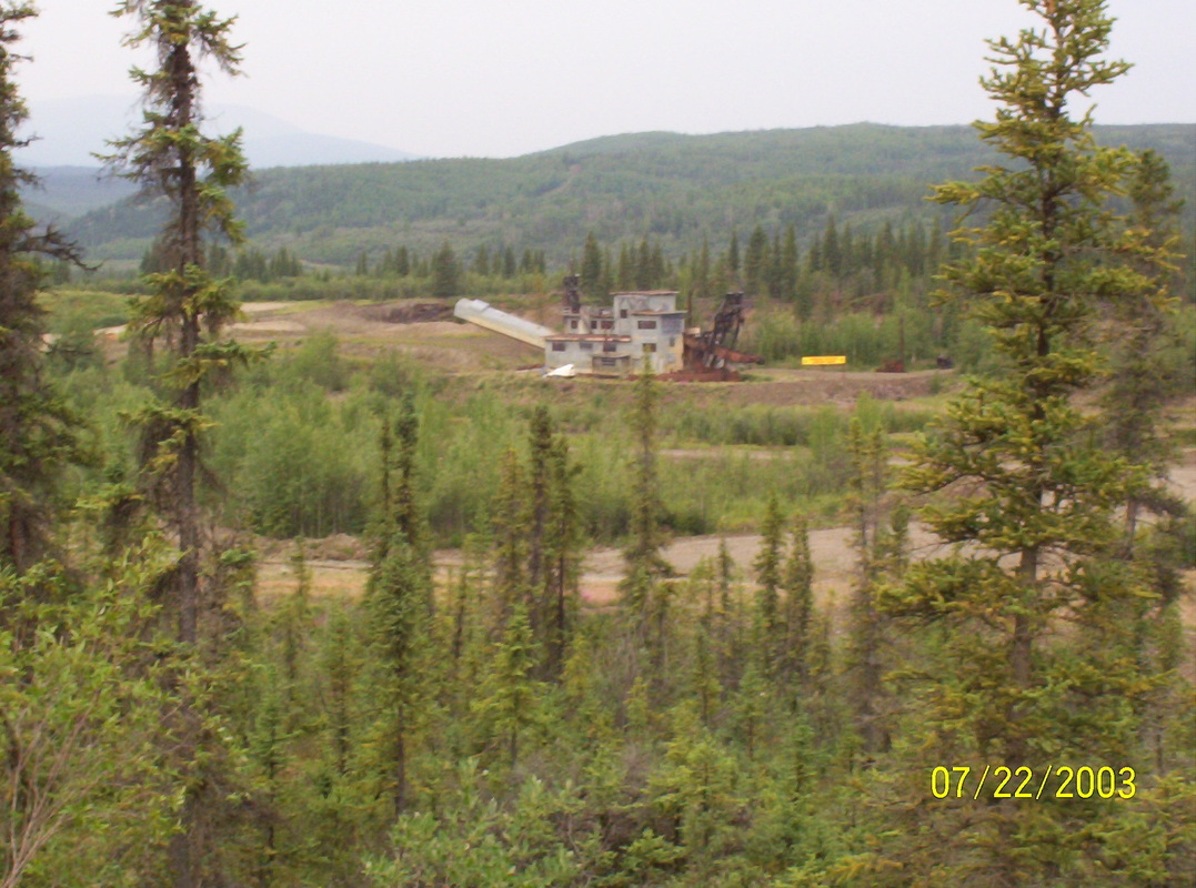
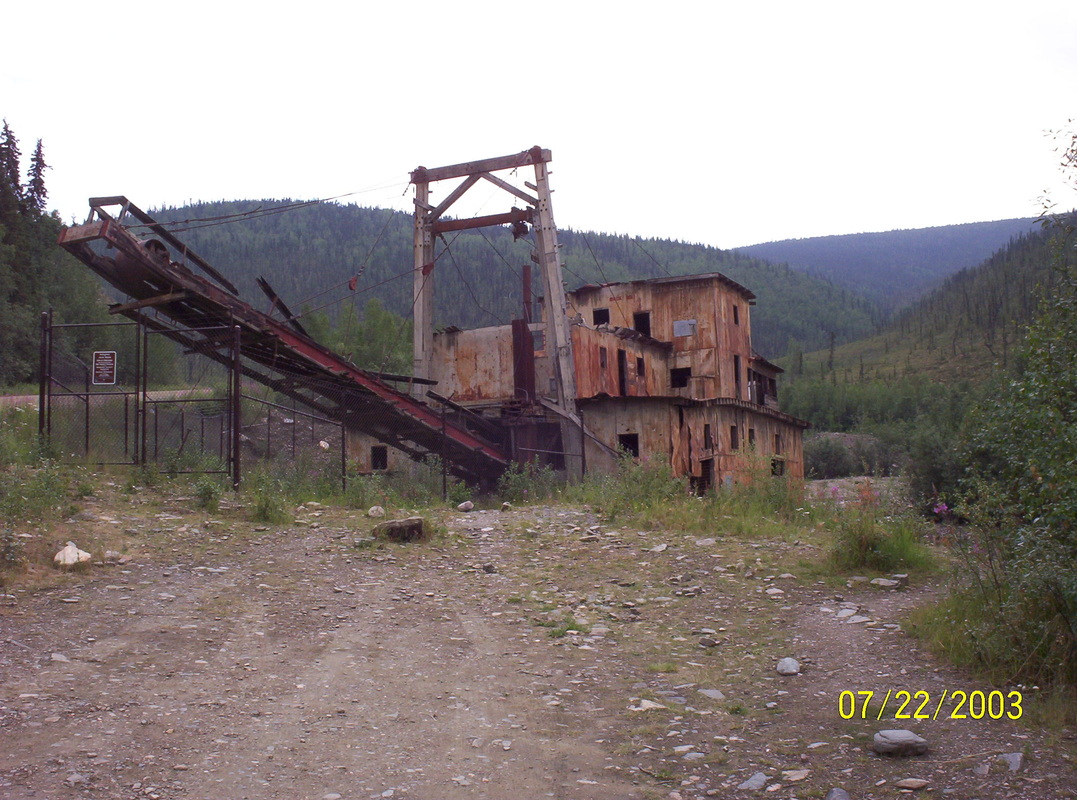
Gold Dredges....
|
|
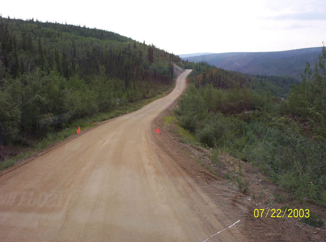
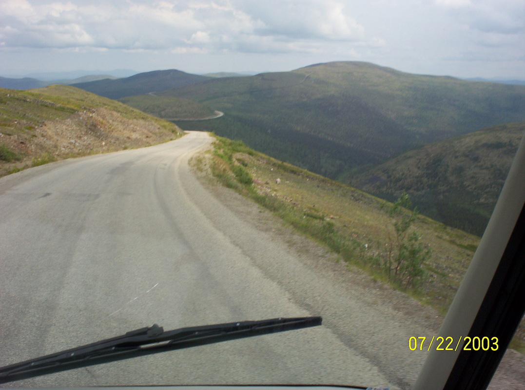
The street over the top of the world is not really a street, rather a dirt path - sometimes broken at the edges, but red warning flags tell you to drive carefully....
|
|
Endless......
|
|
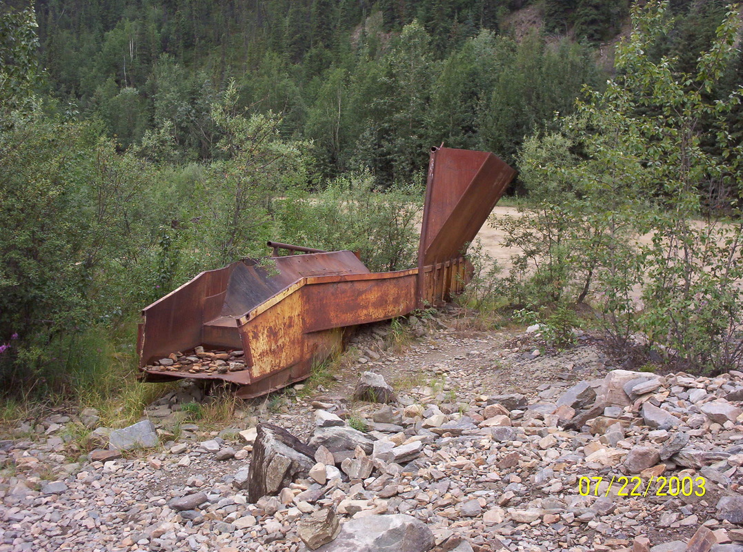
Old dredge rosting away.....
|
|
All history now.....
|
|
You can see the road on the left? This is still before us....
|
|
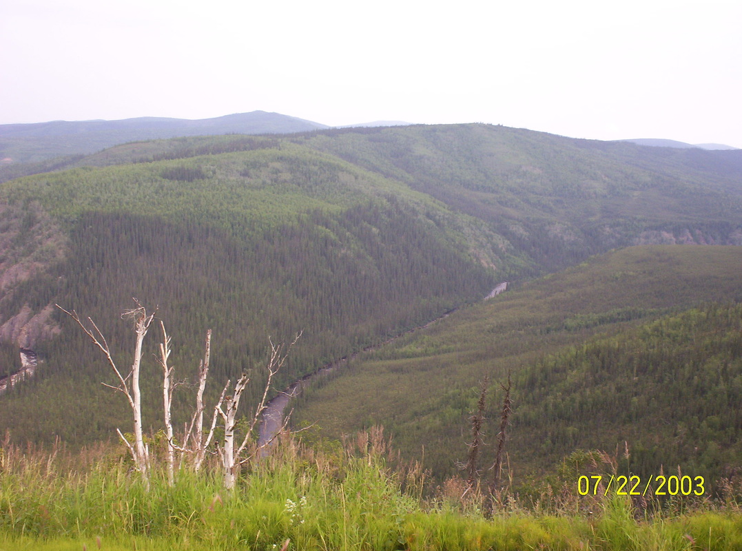
The color difference in between the "rolling hill mountains" is amazing. Capturing this really felt one was alone in the world.
|
|
Beautiful....
|
|
Gravel road repaired.....
|
|
Entering Yukon Territory again.
|
|
Will soon be there....
|
|
Some more bends around some more mountains...
|
|
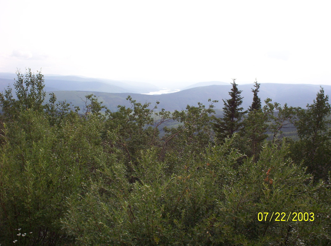
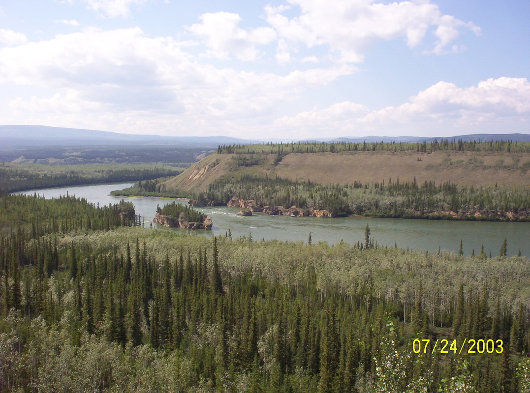
We can see the Yukon River....
|
|
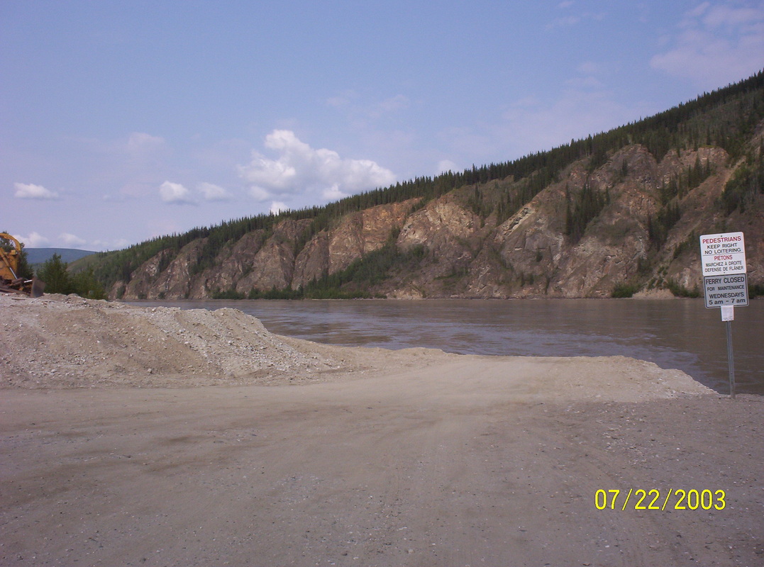
Arriving at the ferry, there is no bridge. The mighty Yukon is flowing very fast...
|
|
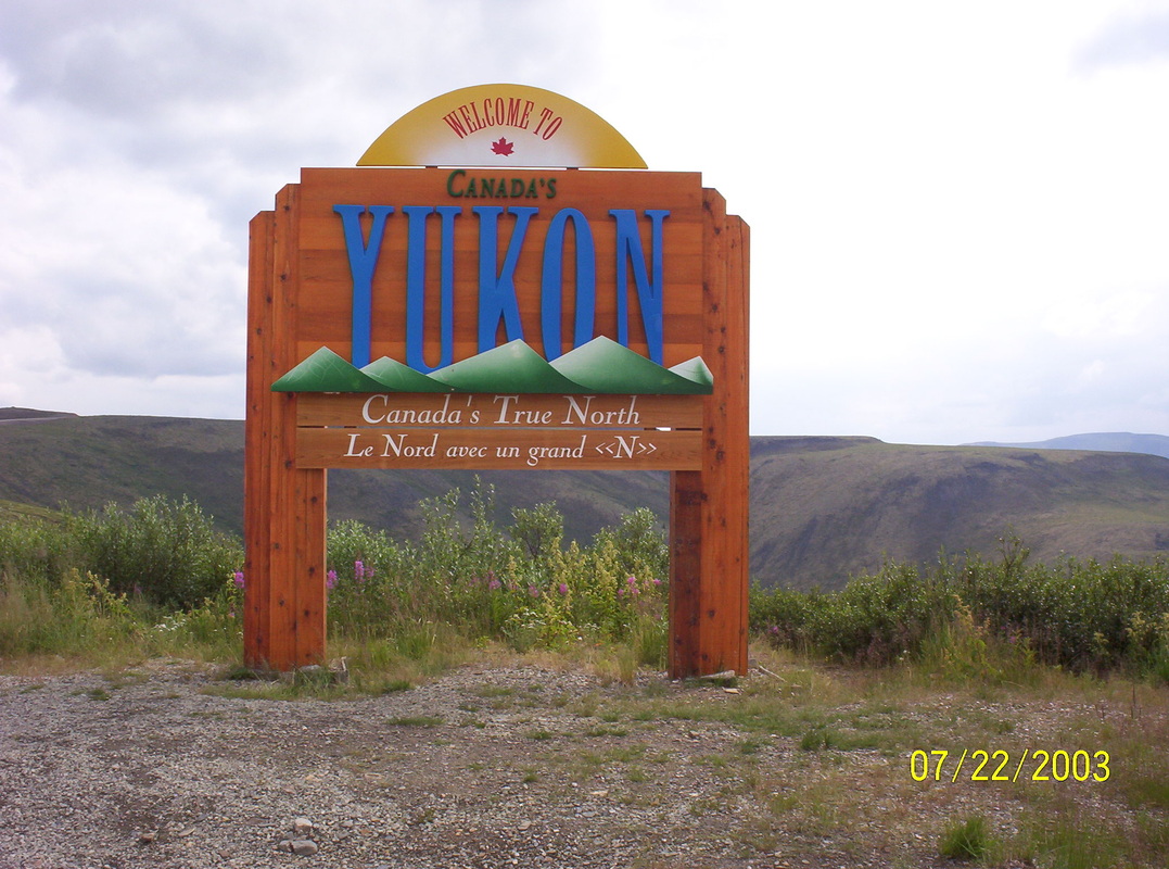
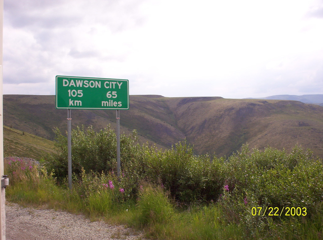
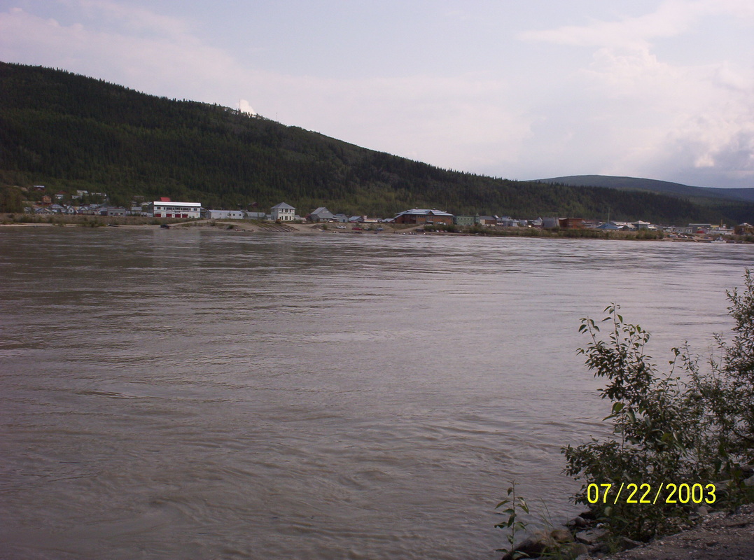
Historic Dawson City is greeting us from across the river....
|

|
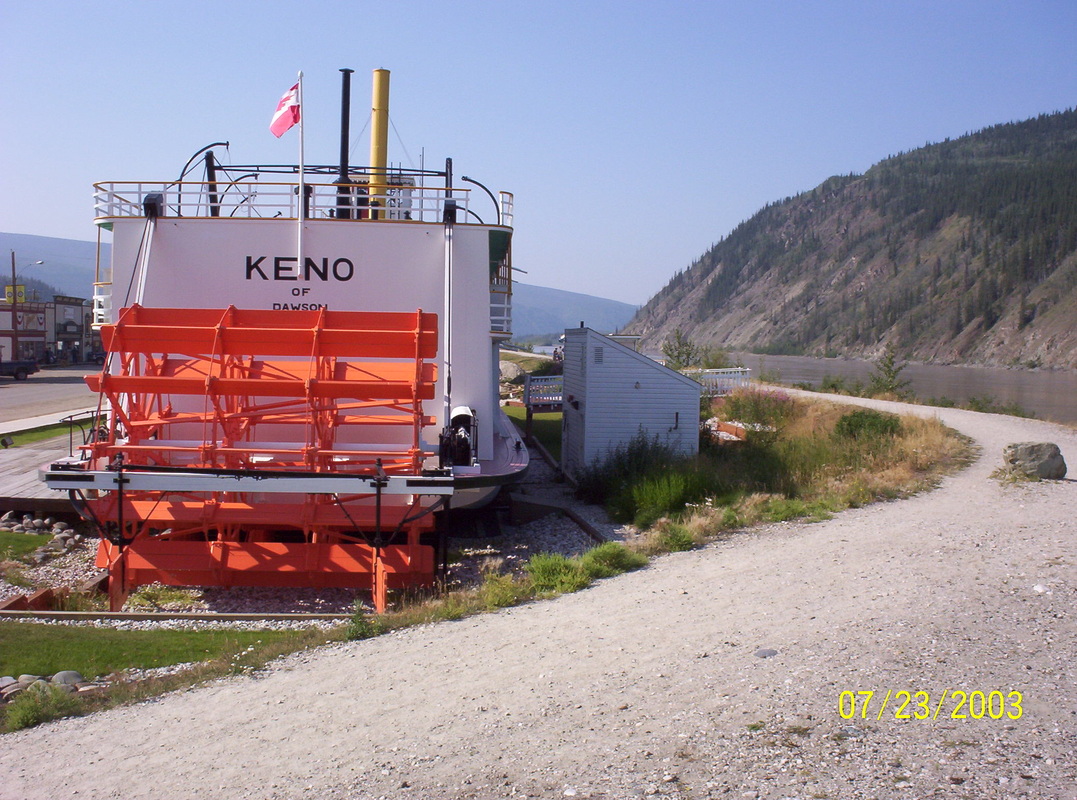
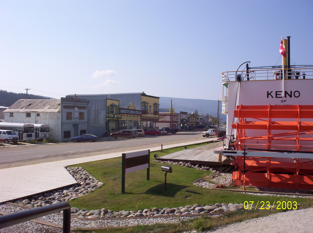
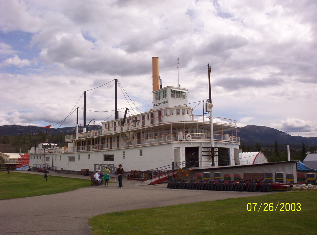
S.S.Keno transported lead, cinc and silver ore in between Stewart City and Mayo Landing in the 1920s, has been preserved and is now part of a museum exhibit about the mining history of the Yukon Territory.
|
|
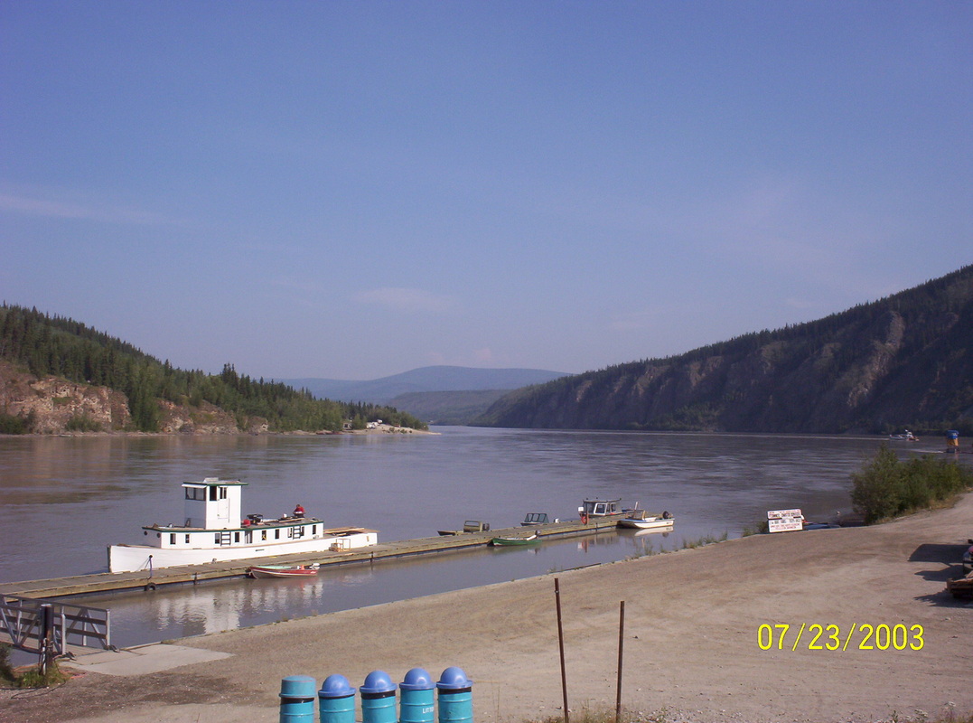
Those ferries look small on that big river...
|
|
None of the original steamboats from the gold rush era have survived. But the S.S. Keno comes at least close, having been built at Whitehorse in 1922 the S.S. Keno represents a typical vessel from her time and is one of the few remaining historic paddlewheel steamboats in the US. The Keno was moved to her present berth on the Dawson City's waterfront in 1960.
|
|
Clearly, at that time the era of steamboats had found an end. The S.S. Keno was the last steamboat on the river and when moved downstream to Dawson in 1960, the crew even had to dismantle the top deck of the steamer to clear the Alaska Highway bridge. The Road has replaced the river in means of transportation, trucks had replaced the riverboats, very obviously.
|
|
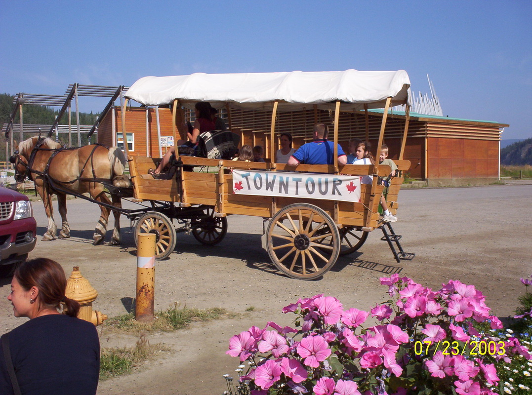
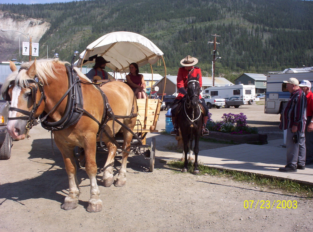
We did sight-seeing by foot.
|
|
The Canadian Mounted Policeman looked down, eventhough I had asked him to take a picture of him.
|
|
Knots in the trees are a natural occurance ( burls)
|
|
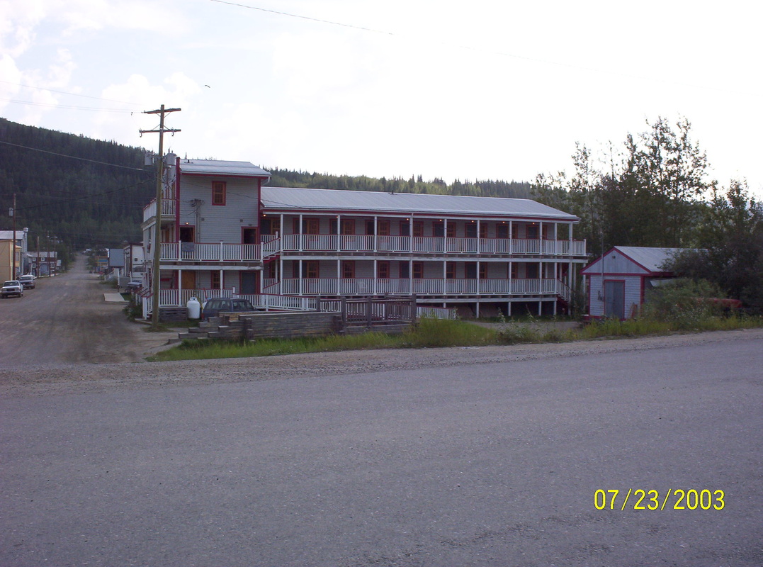
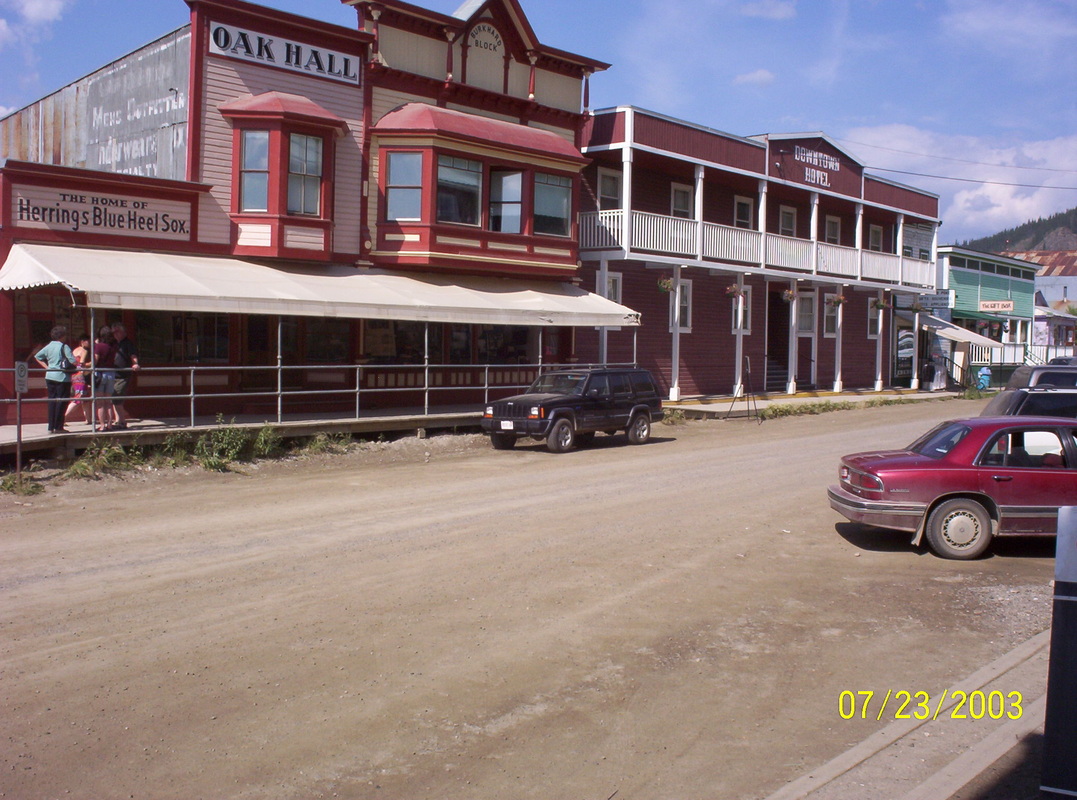
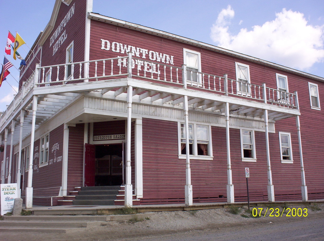
Old Hotel
|
|
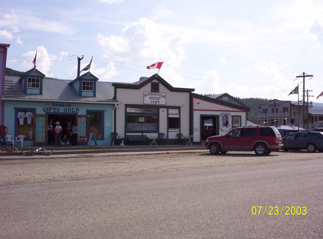
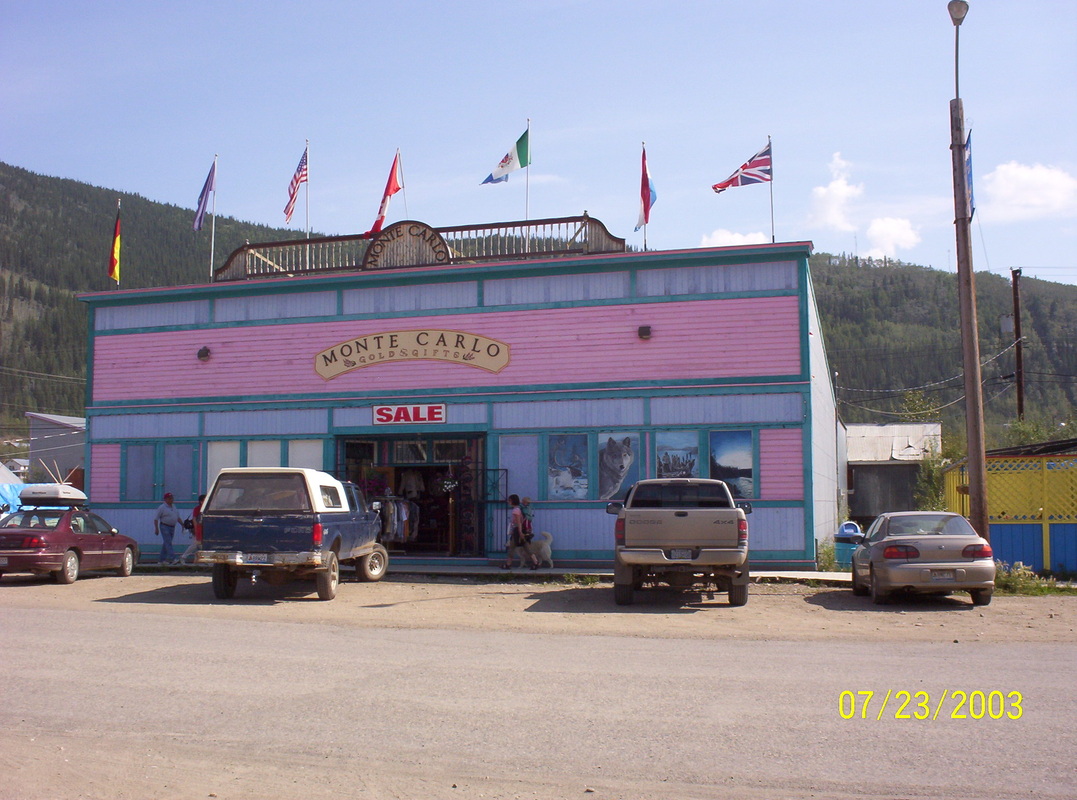
Oh - those gift shops.......
|
|
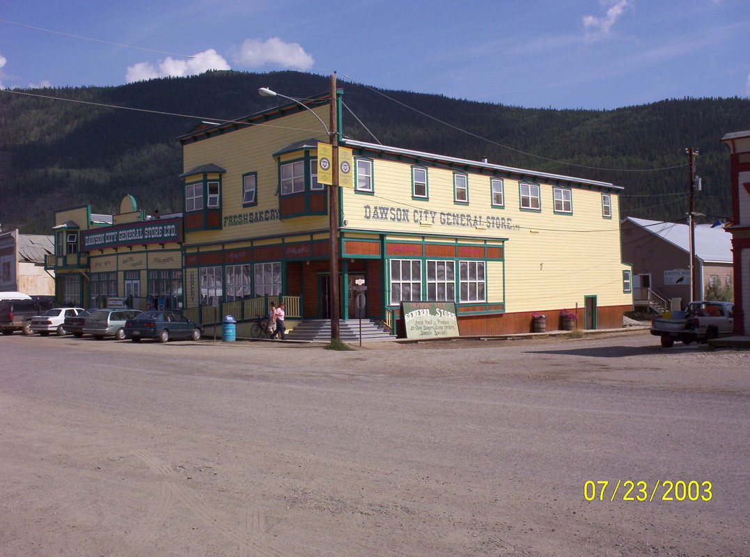
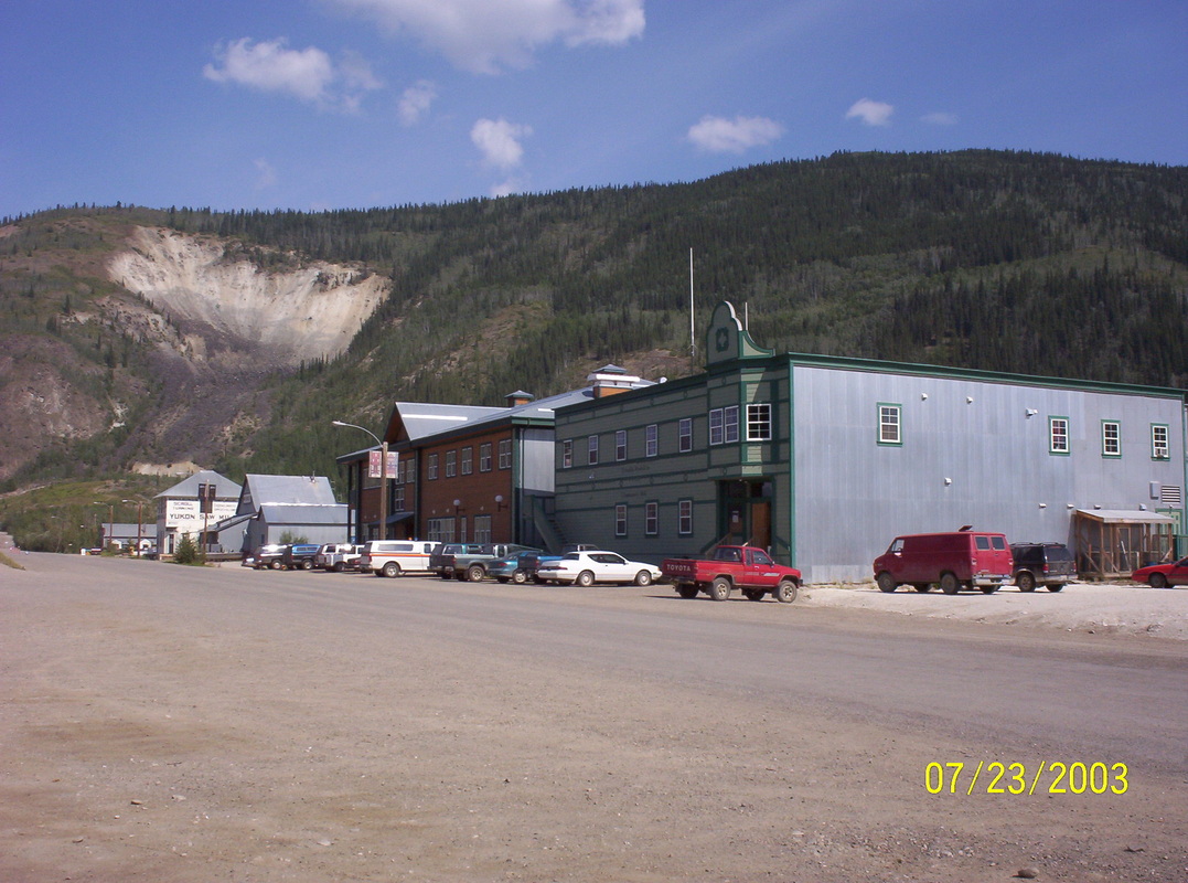
Dawson City is a well preserved, living and breathing cultural and historic oasis tucked away in the middle of the Yukon wilderness. Once referred to as the “Paris of the North”, its name is synonymous with the 1898 Klondike Gold Rush.
|
|
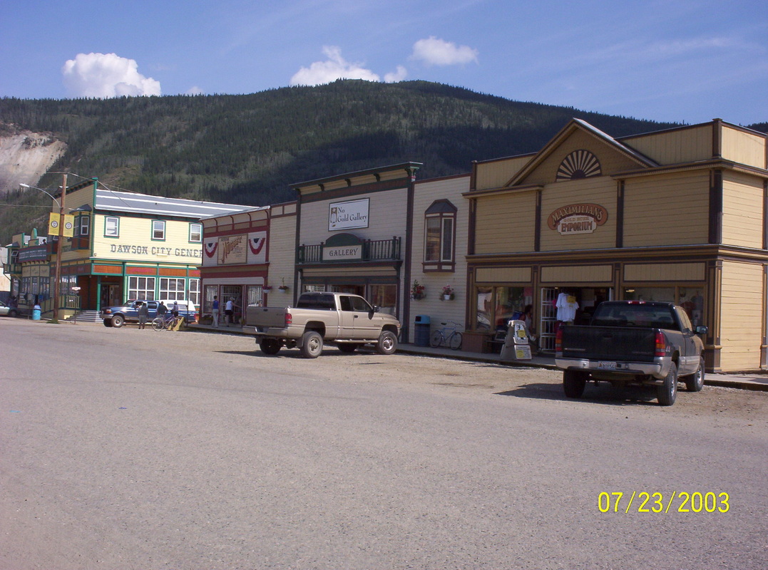
More gift shops, galleries atc.
|
|
At the time we visited that store to buy some groceries, we were afraid the floors would cave in, they were squealing and making almost breaking noises by walking on those wooden boards.
|
|
The Sale sign brings more customers in......
|
|
Old scar in the mountain, search for minerals....
|
|
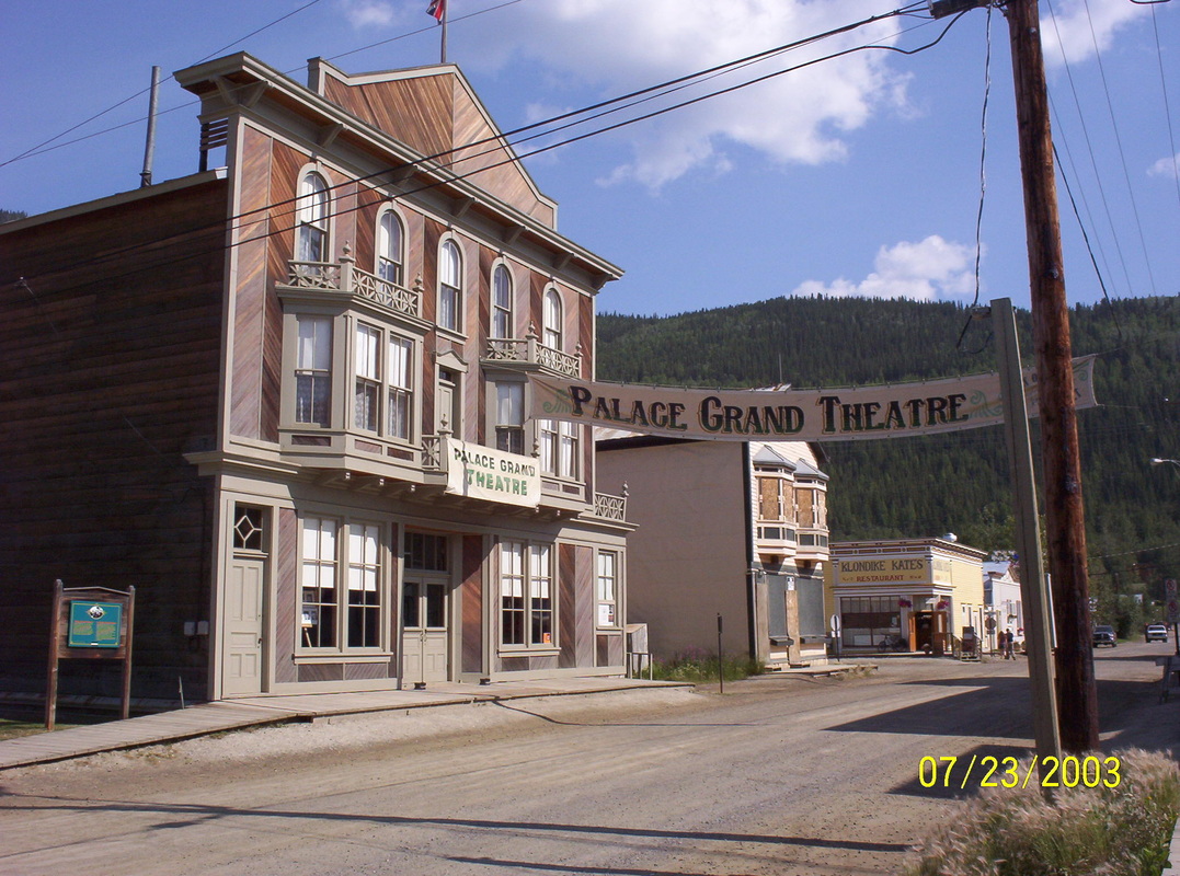
Still a theater ...
|
|
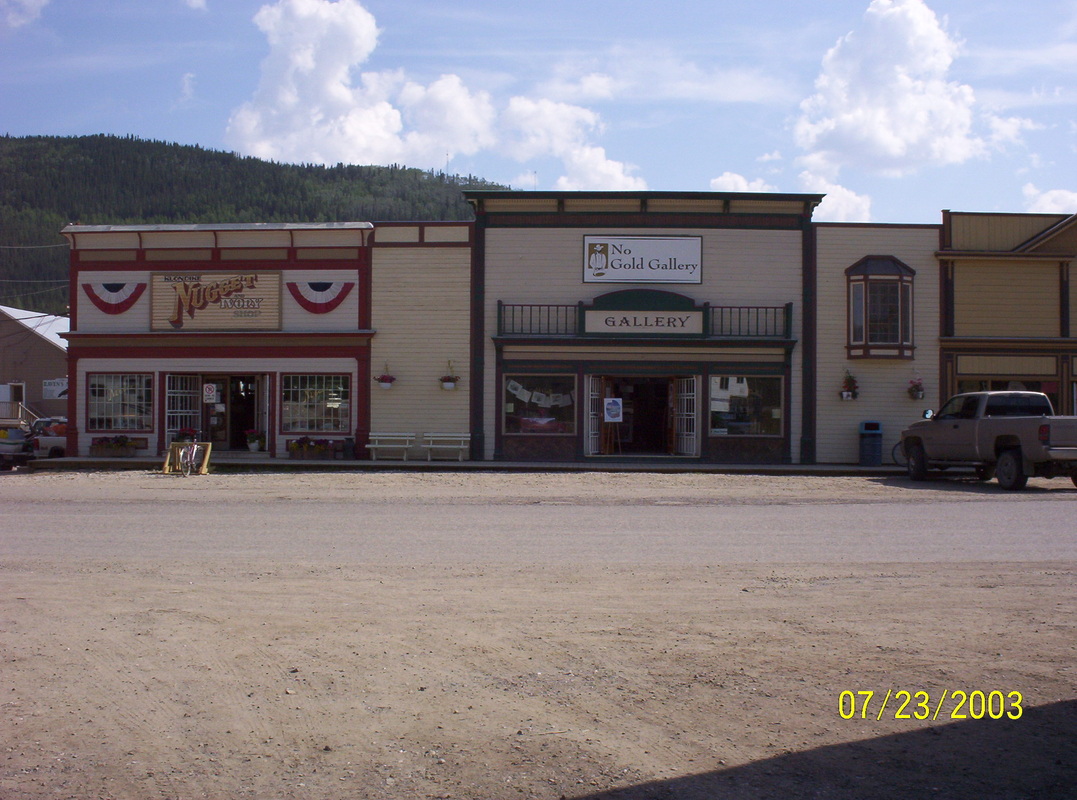
Interesting buildings....
|
|
An old Brothel....
|
|
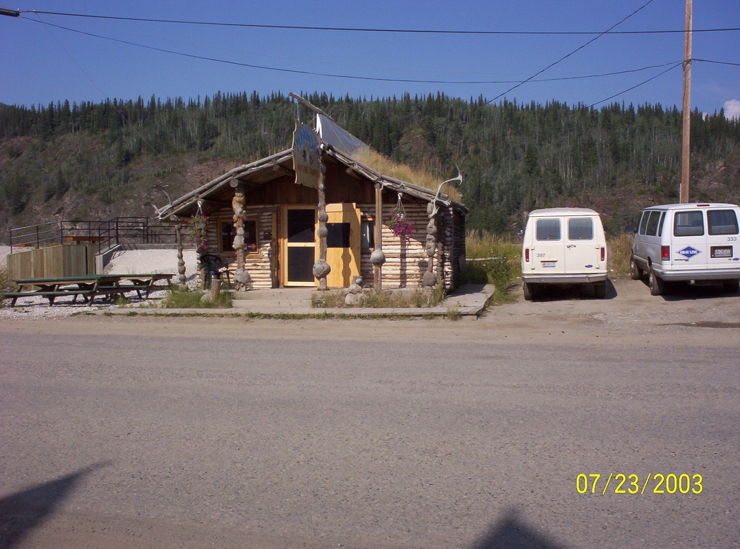
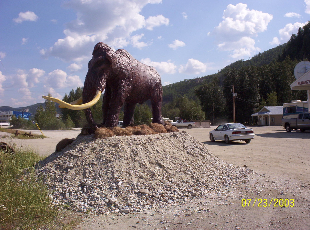
Entrance to the Bonanza City RV Park
|
|
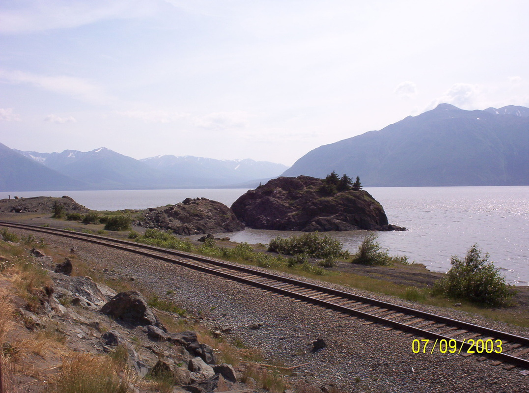
En route to Whitehorse, YT.
Pictured here are the "5 Finger Rapids" - This was always a tricky spot for the riverboats... |
|
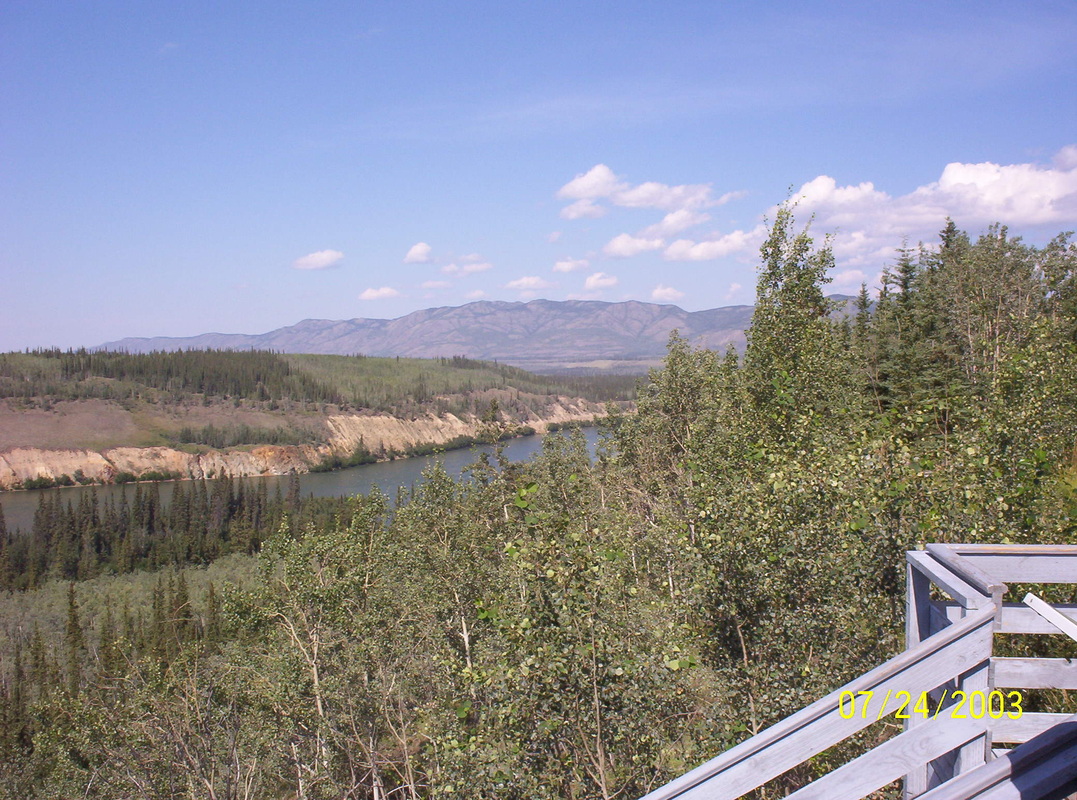
Viewing deck in Carmacks at the Yukon river.
|
|
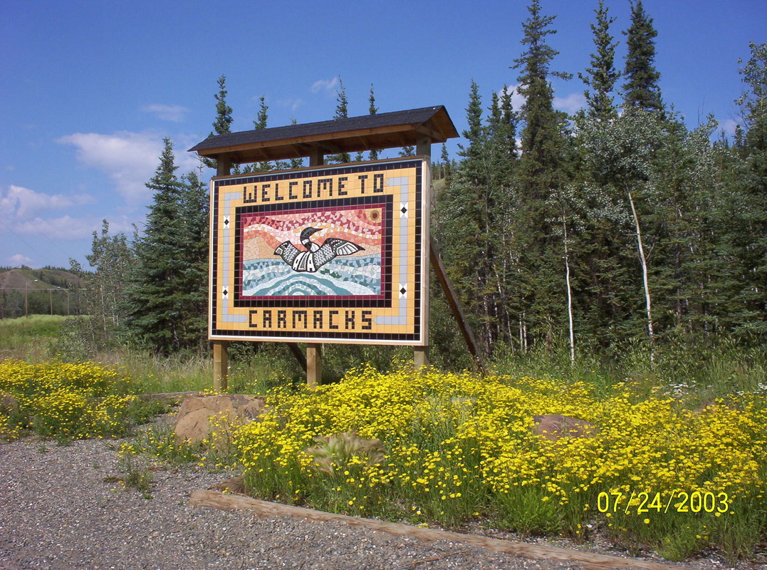
Carmacks is situated at the confluence of the Nordenskiold and Yukon Rivers, approximately 180 km north of Whitehorse and 360 km south of Dawson City on the North Klondike Highway. It is the site of one of the four bridges over the Yukon River. The Campbell Highway also intersects the community and carries on to Faro, Ross River and Watson Lake, providing a gateway to the Canol Road and some of the Yukon's most spectacular scenery.
|
|
In Whitehorse, Yukon Territory.
Home of the Klondike. |
|
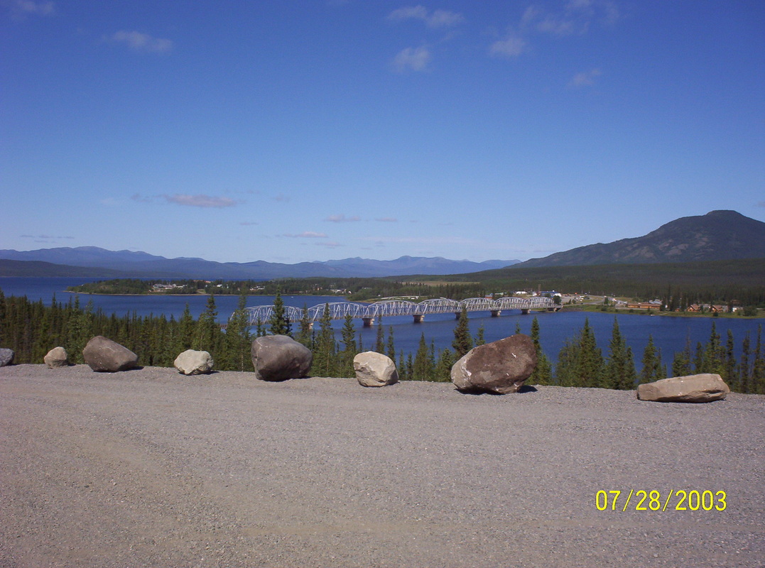
Teslin Bridge
Teslin is a small village located in the Yukon Territory at Mile 804 (Km. 1244) on the Alaska Highway. It is bordered by the waters of Nisutlin Bay and Teslin Lake. Until the turn of the century this was the summer camp or meeting place of the Tlingit tribe from southern Alaska. |
|
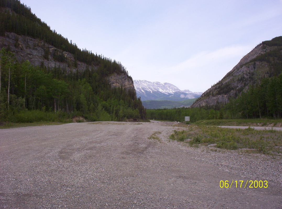
Headed for Watson Lake again..
There are only a handful of highways in the entire north there, sometimes you have to come to a junction more than once.... |
|
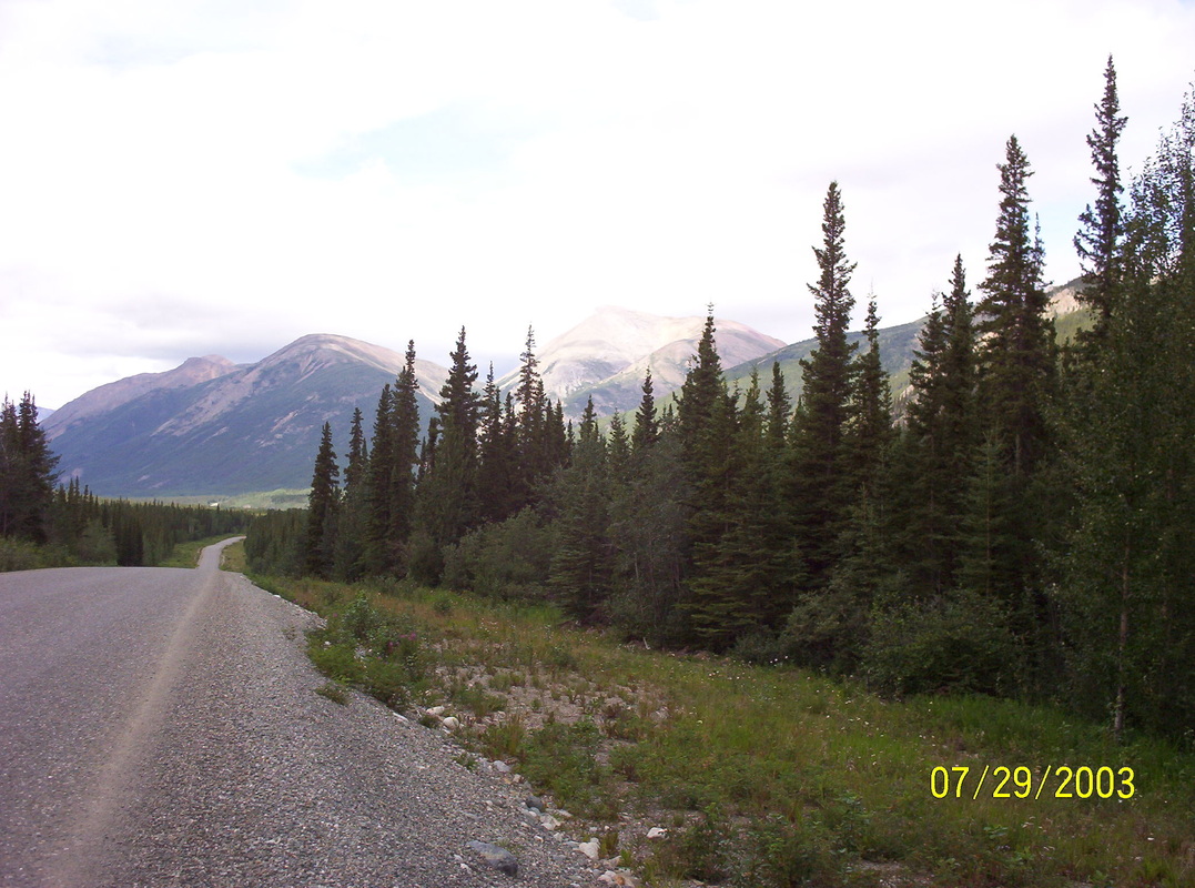
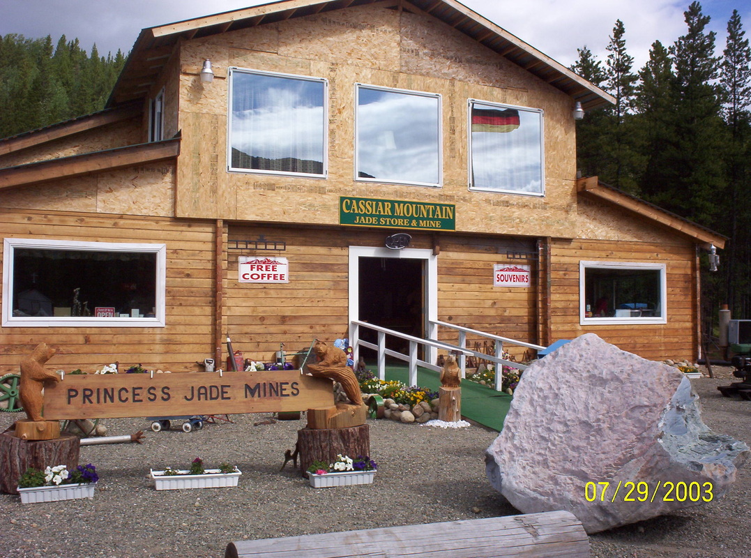
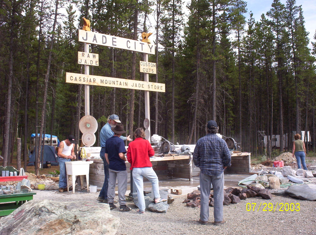
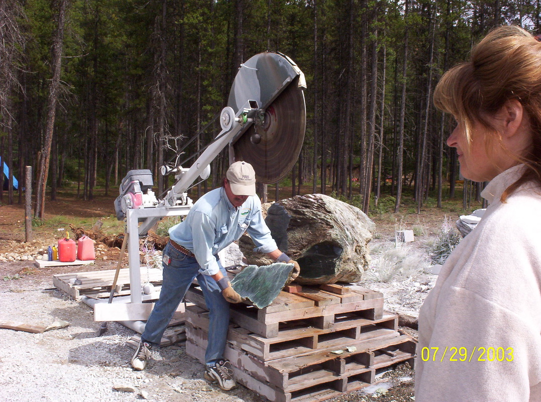
On Cassiar Highway ( Rt. 37) - interesting Jade shop
|
|
You can order a table top or a clock, everything made in front of you, and very affordable...
|
|
The artist at work and a lady in waiting...
|
|
Daisy River
|
|
Pull-out Mile 245 AK - Cassiar Hwy.
|
|
We were the only overnighters there, and we enjoyed it.
|
|
Pulling out, driving on - we should have stayed there a night longer.....
|
|
Parking in Stewart, British Columbia, we are checking out the area..
|
|
About 19 miles from Stewart, there is a "blue glacier", its beauty lies in its incredible blue color
|
|
Bear Glacier
|
|
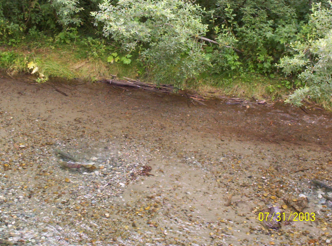
Salmon's mating dance in Fish Creek, 3 miles up the Granduc Road from Hyder....
|
|
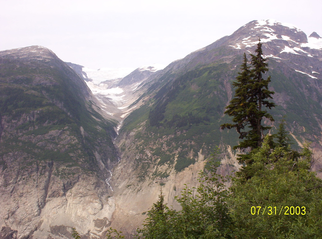
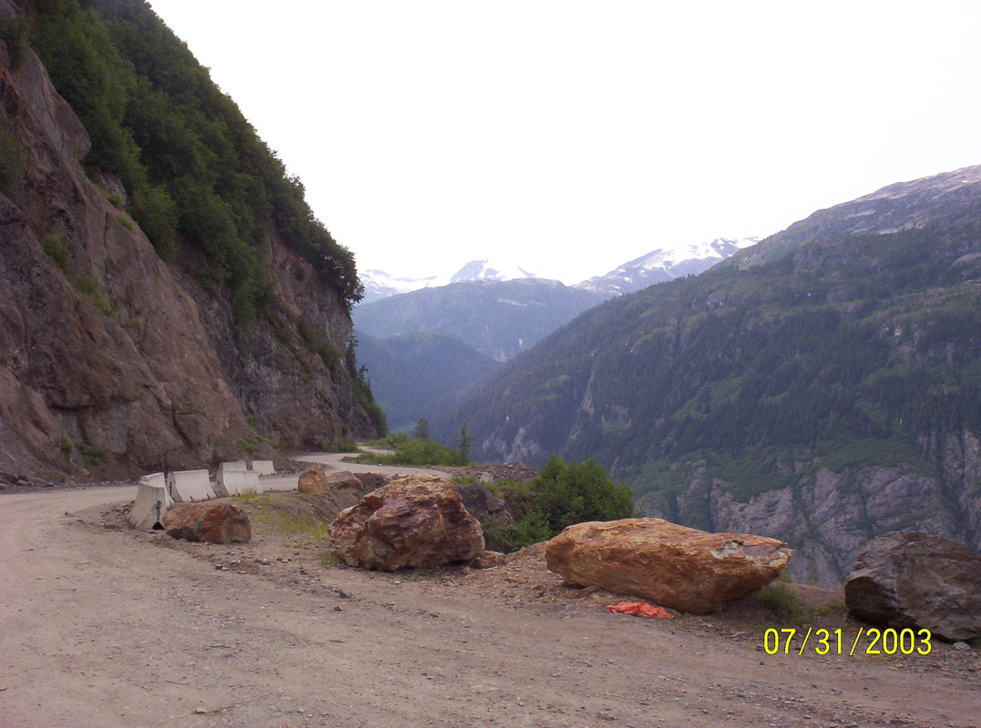
Excursion with our little Chevy to the Salmon Glacier. The Salmon River had a strong currant, loaded with ice blocks and wooden debris.
The edges of the narrow gravel street ( Granduc Road is more of a path than a street ) was already damaged and pieces broken off, and we were wondering whether the street would be still there on our way back. |
|
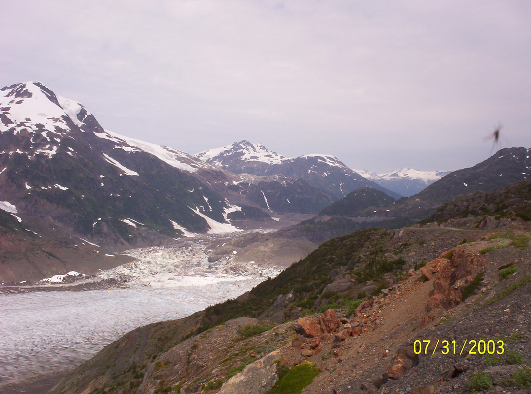
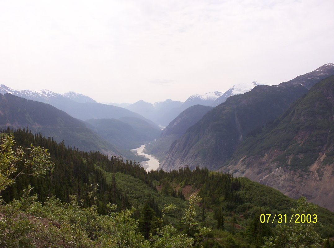
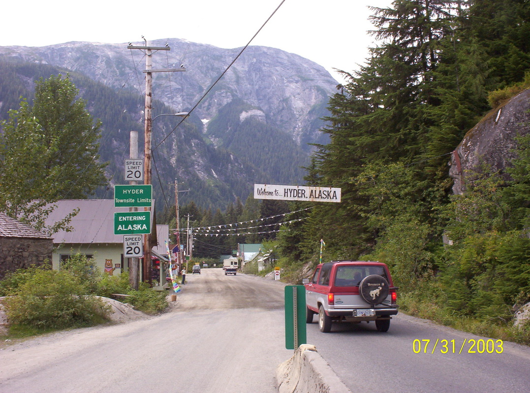
We had to drive from Stewart, BC. to Hyder, Alaska, USA, first in order to drive up the Salmon Glacier Mountains. One of the pictures below will show the small city, which is rather a little village.
|
|
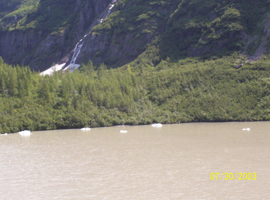
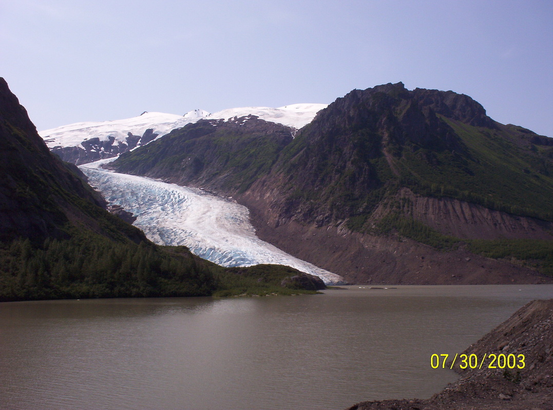
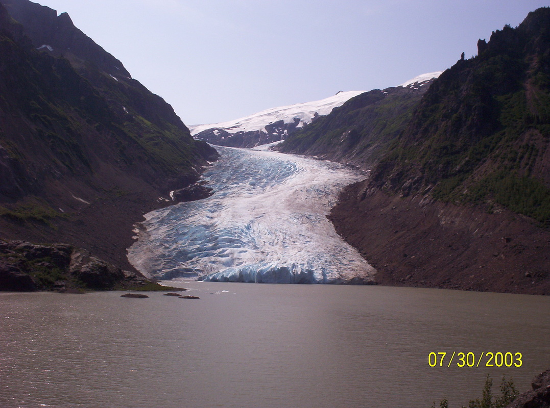
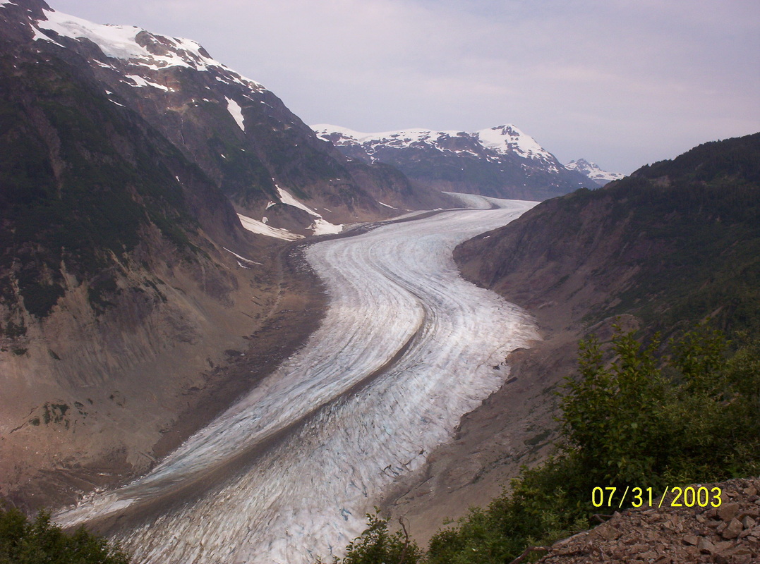
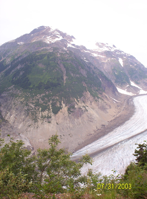
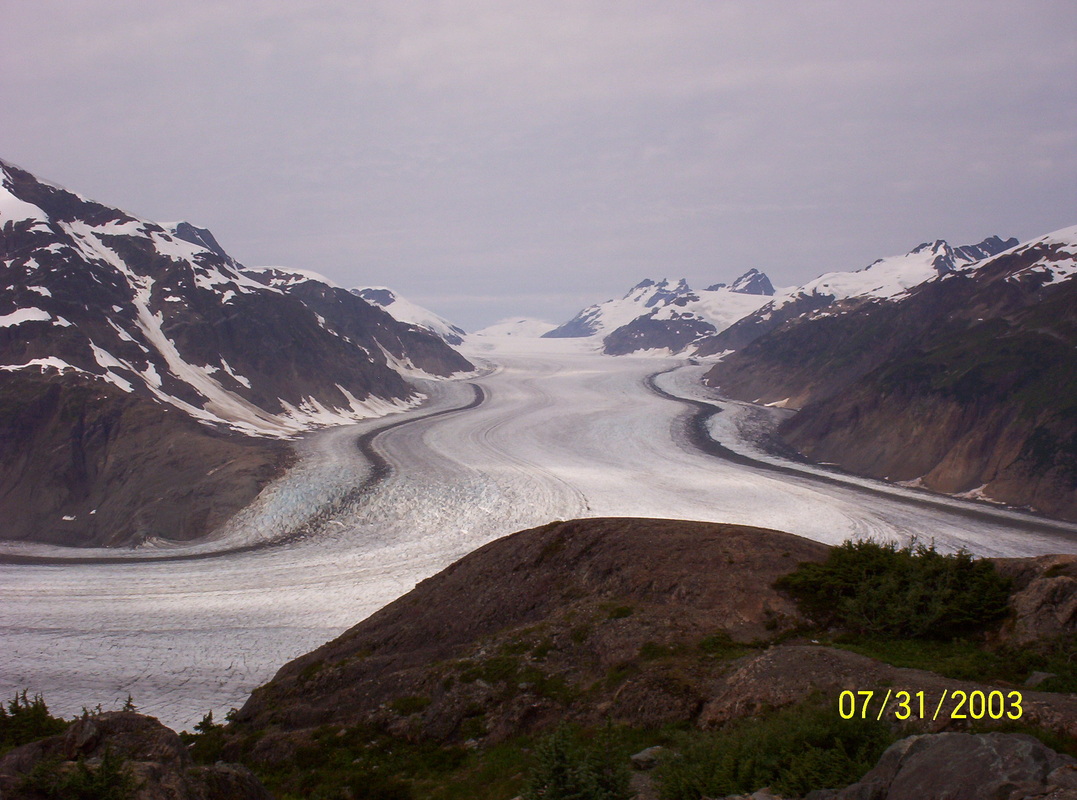
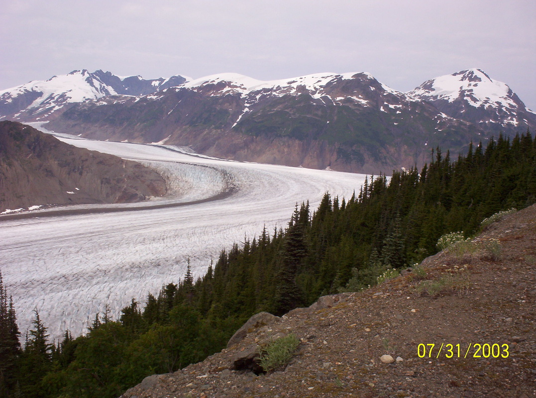
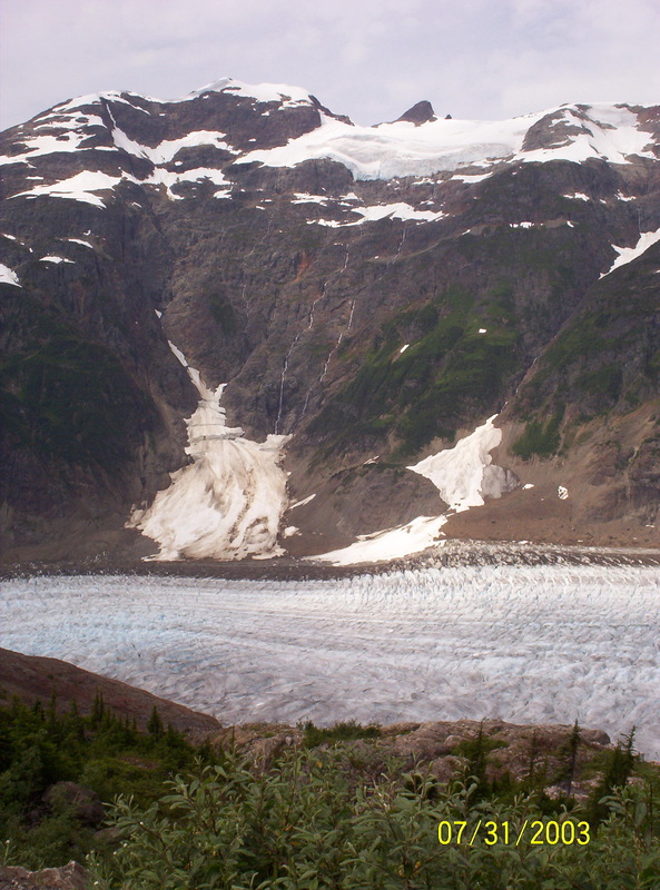
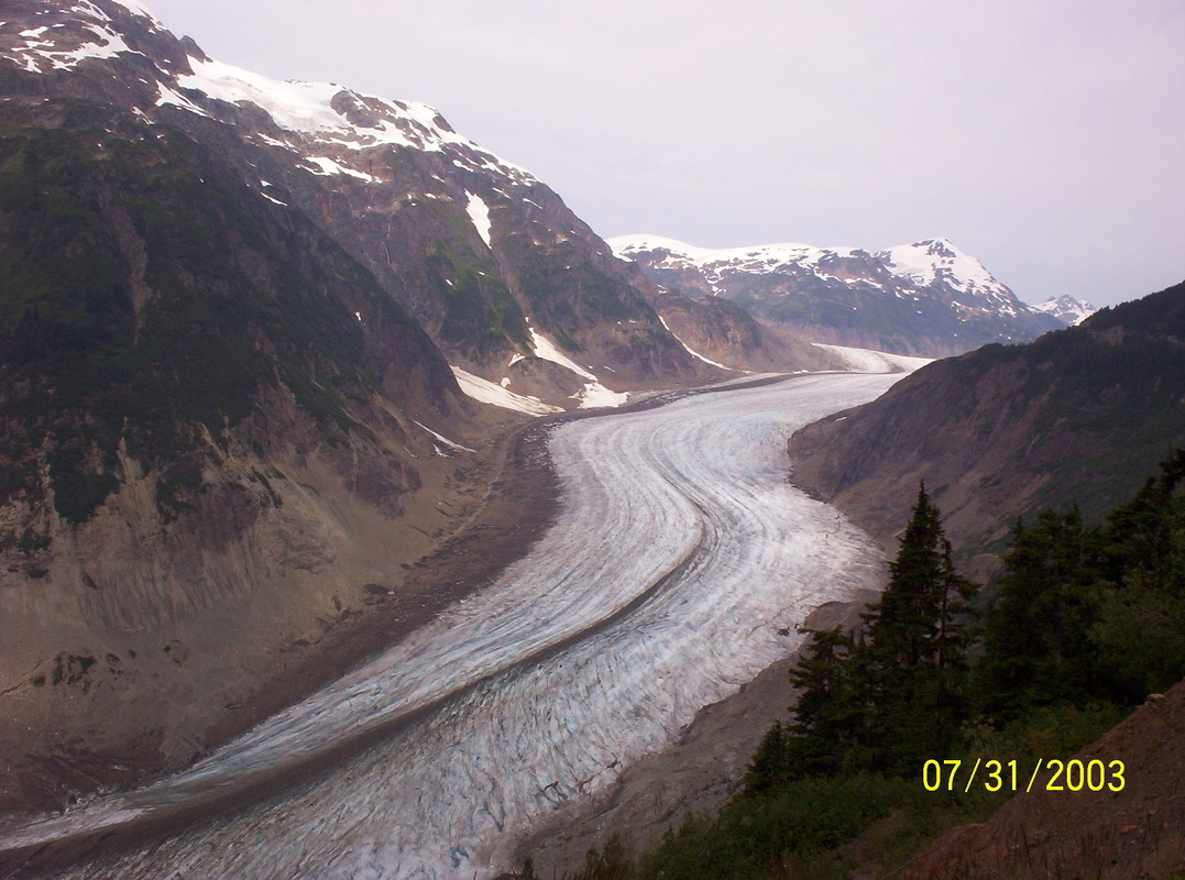
The Salmon Glacier - the fifth largest glacier in North America. Looking down upon the Salmon Glacier and along the valley below you can see how the glacier is continually transforming the landscape and itself. The road starts in Hyder, Alaska, at sea level and follows the Salmon River to its birthplace - the Salmon Glacier. 4,300 ft. (1,100 m) up in the alpine located back in beautiful British Columbia.
How To Get There: Drive through Hyder on the Granduc Road for approximately 25 miles and you will soon find yourself gazing at one of the most spectacular sights around. Please note that the road is not always in the best of conditions, so make sure to take a reliable vehicle - or better yet, take a tour! |
|
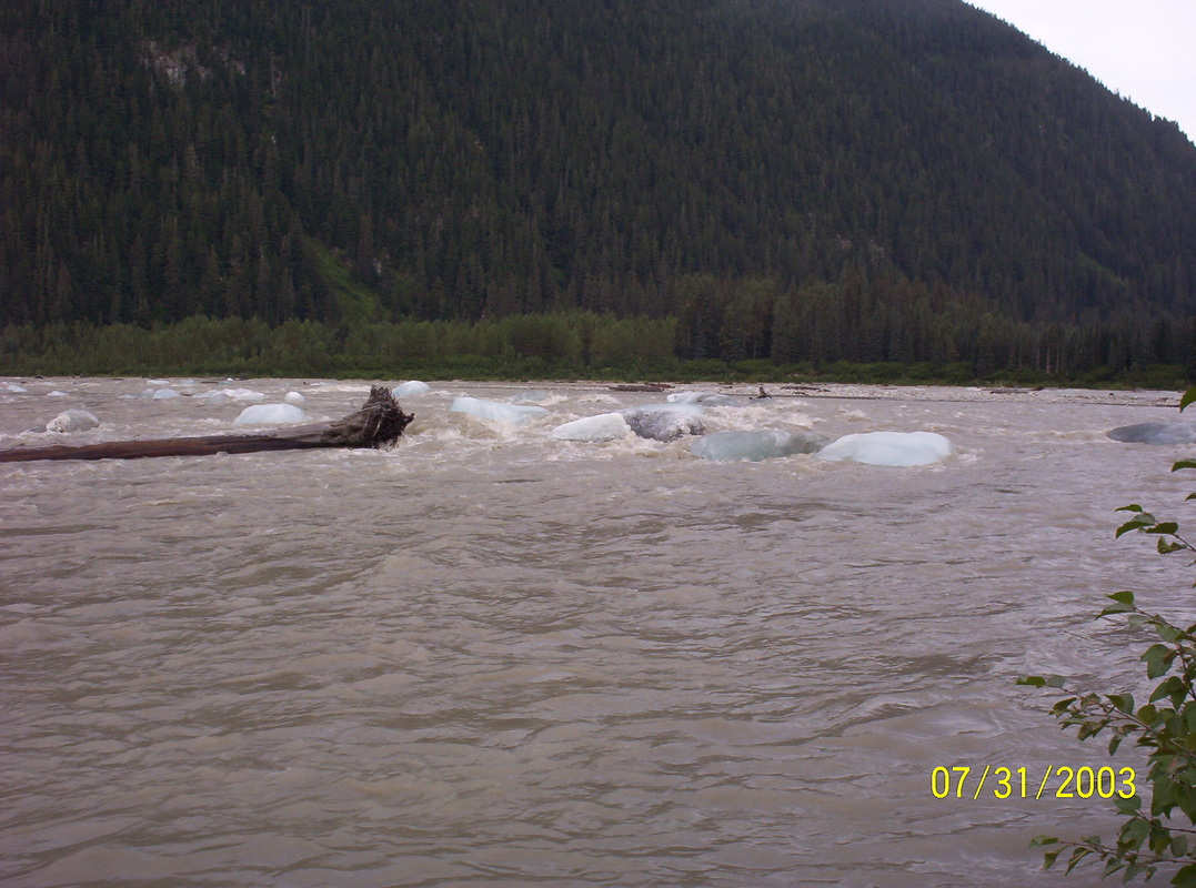
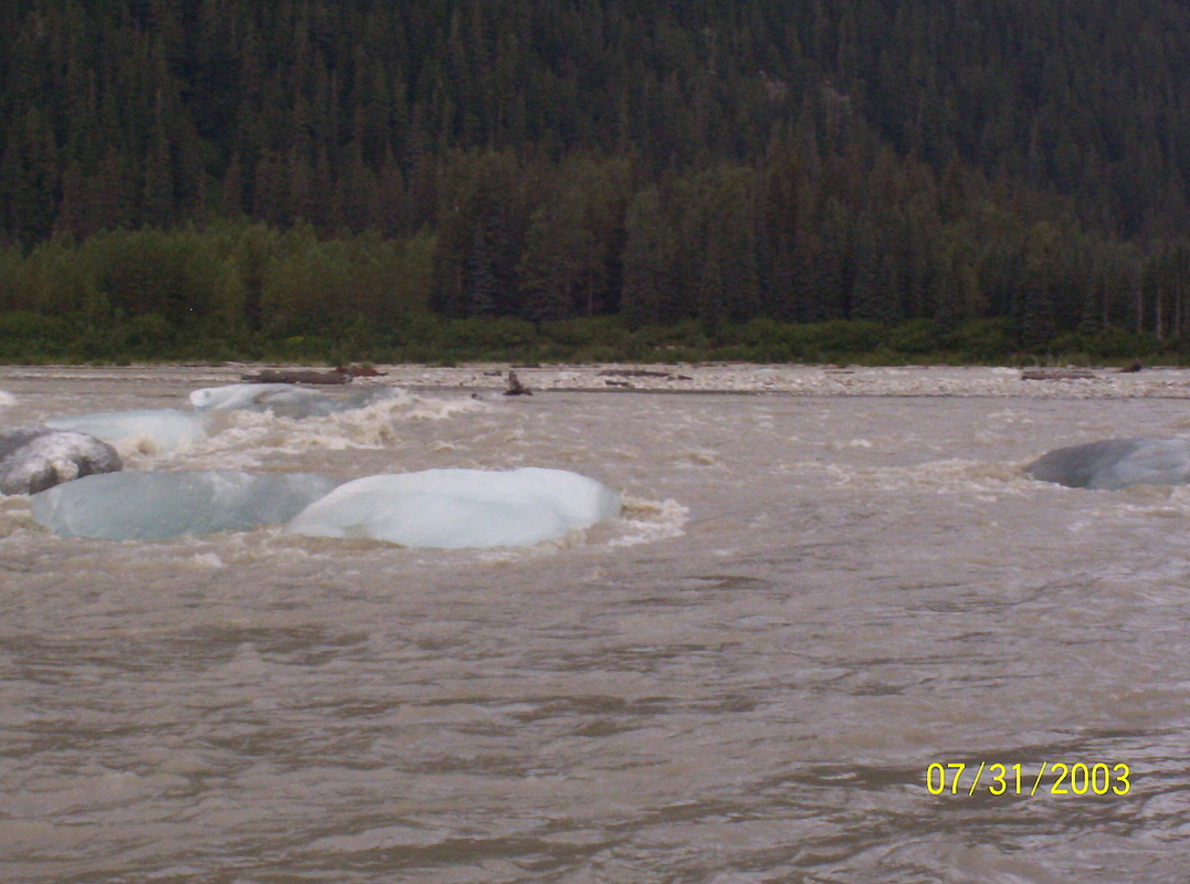
At this point the river looked like an icy swamp, gray, rich on minerals.
|
|
This Salmon Glacier excursions was the most interesting and breathtaking experiences of all the incredible sights.....
|
|
Awesome sight.
|
|
Without words.....
|
|
This stretch looks rather like a wide road....
|
|
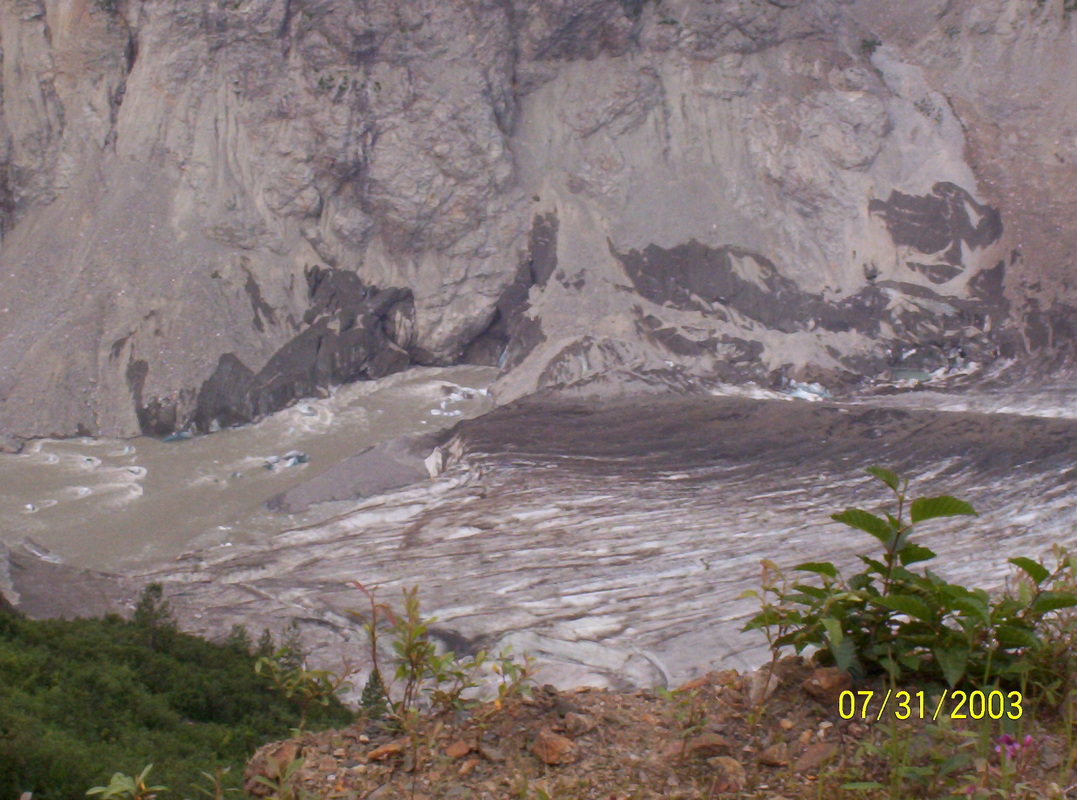
Birthplace of the Salmon Glacier.
You see the mosquito on the right? They were waiting for us in droves. |
|
On our way back down again..
|
|
Mountain top in mid summer...
|
|
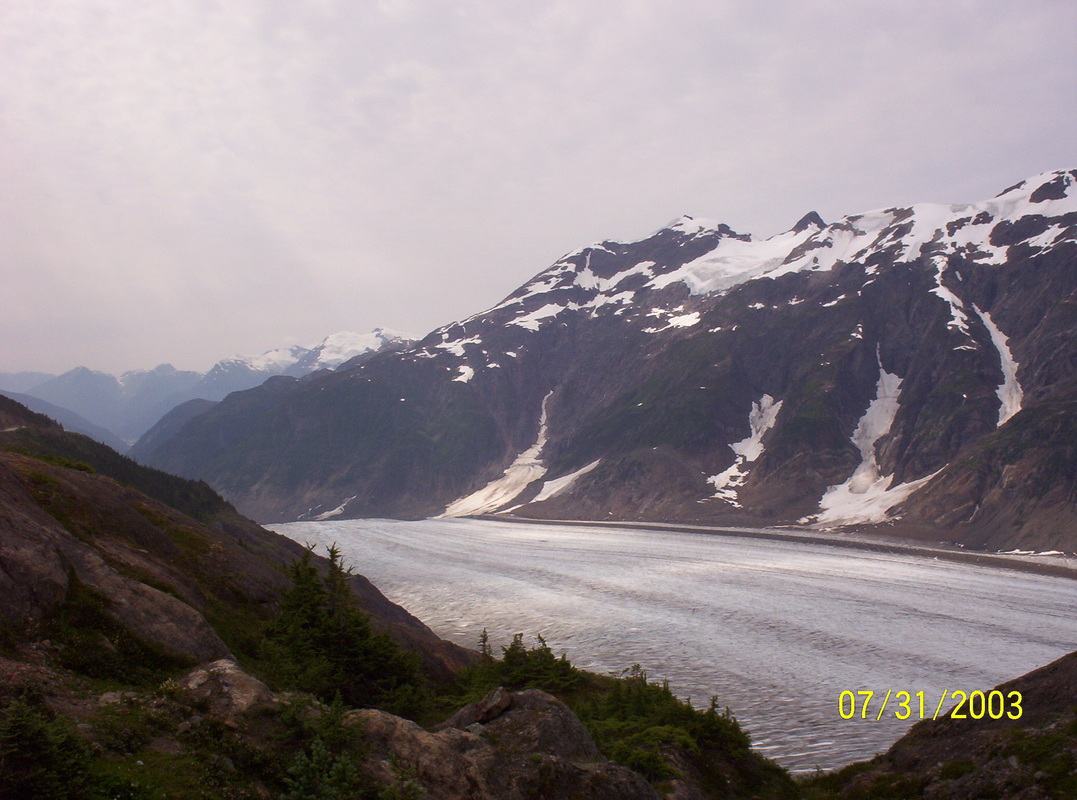
Salmon River
|
|
The big boulders are there for a reason...
|
|
Glacier meanders....
|
|
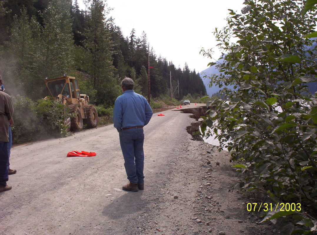
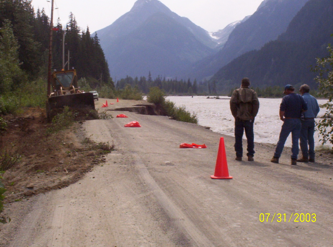
Sure enough, when we came back to the location where we noticed the street edges breaking off - -the street was not passable. We were stopped to wait until the bulldozer cut out a pass through the bushes. It took a while. If there would have been solid rock at the side we would have been lifted out of there via helicopter - probably.....That would have been something else......
|
|
Our little car managed very well the short drive on loose forest dirt, when we could go on...
|
|
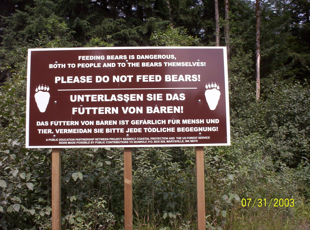
Sign in English and German
|
|
Leaving now Hyder, AK. When entering, we had to show our passports.
|
|
Edson RV in Edson, Alberta
|
|
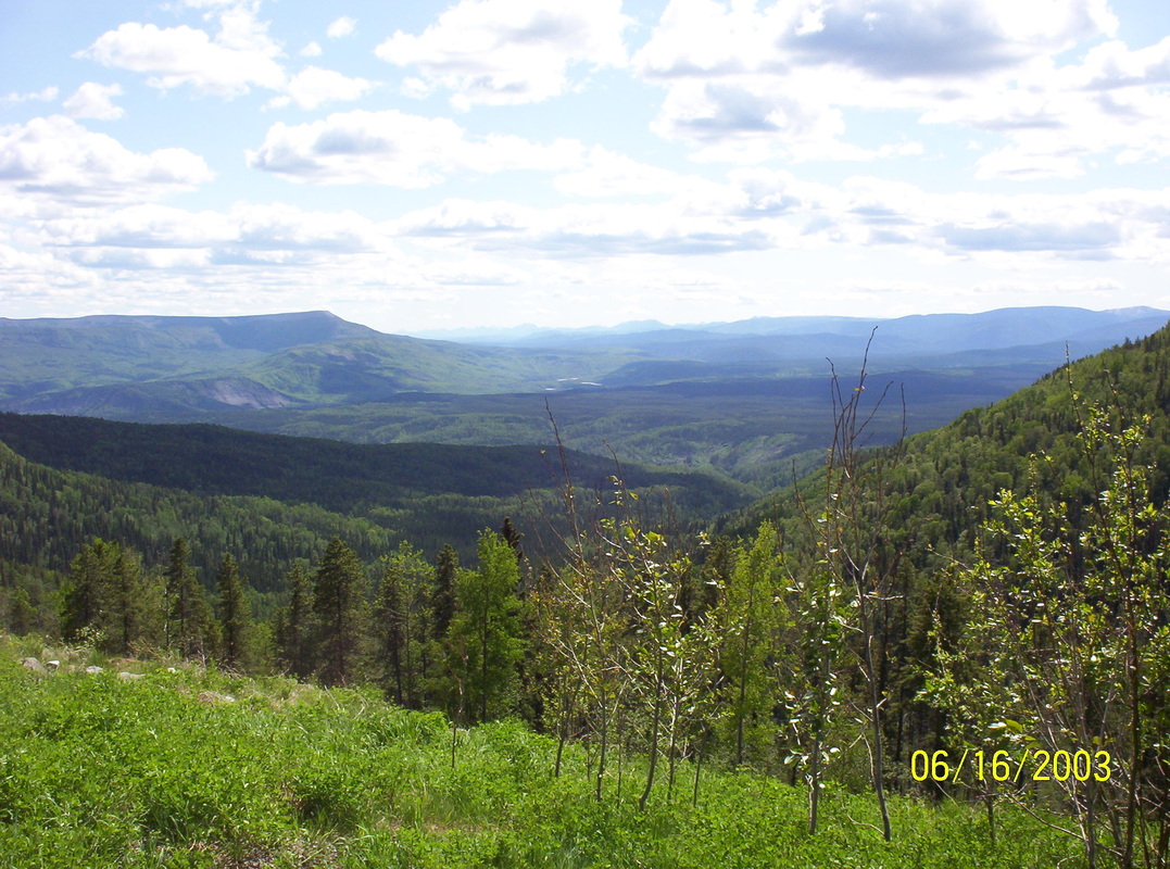
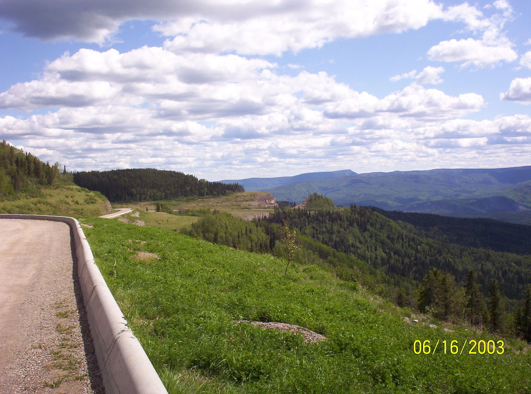
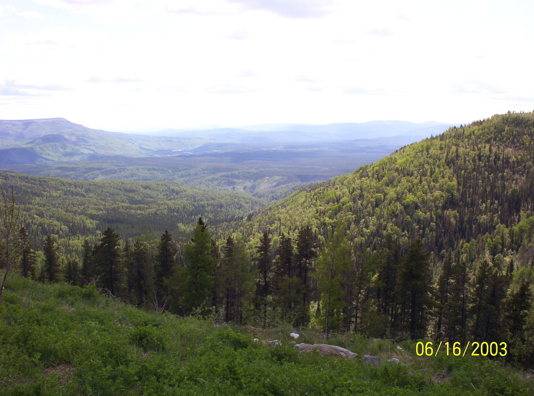
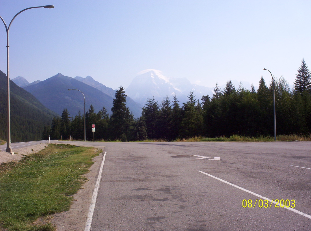
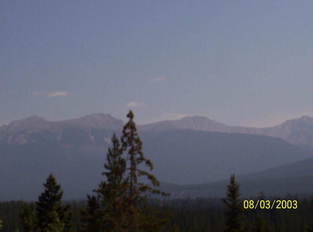
The drive back through the Jasper Ntl. Park - shown here - had another character of landscape than the Banff Ntl. Park on the tour up, not THAT breathtaking. Featured here is Mt. Robson ( 12000' high ), totally in a haze because of wildfires in the area.
|
|
We came closer and closer to the fires and we could drive on, after us the road was closed. We observed firefighters sitting coughing at the roadside.....
I had to have a towel in front of my face when we passed that area, breathing was difficult. |
|
Maybe a camper emptied out his grain leftovers....
|
|
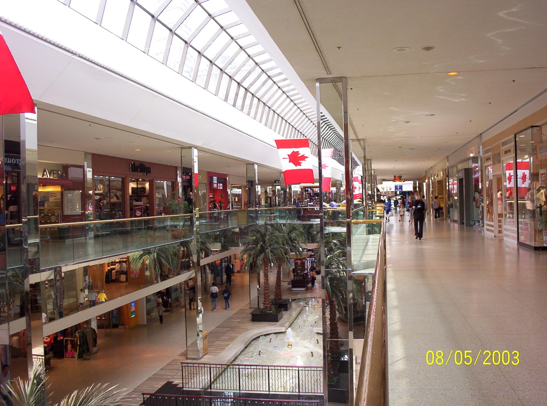
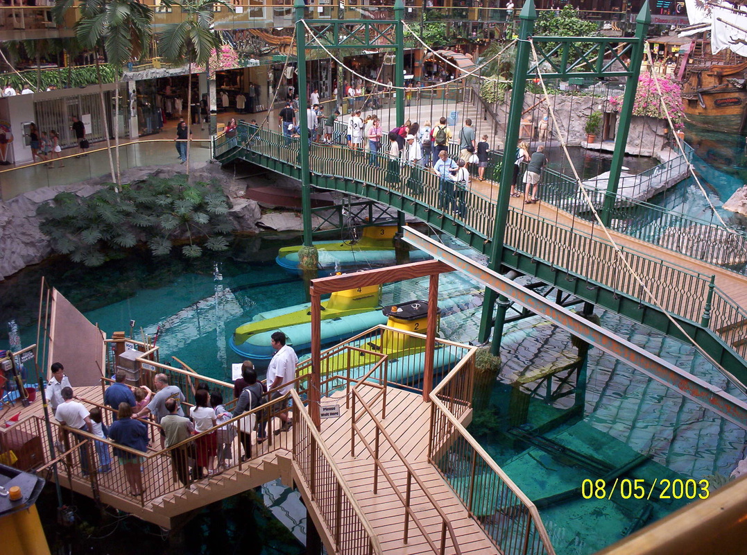
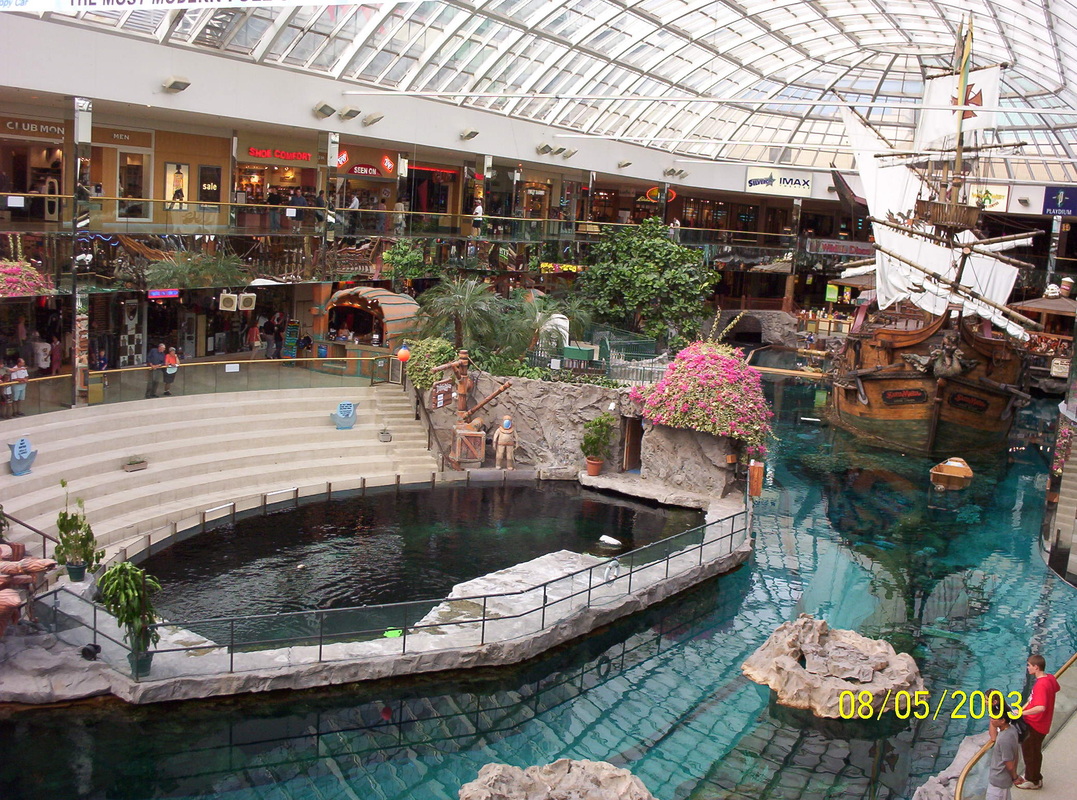
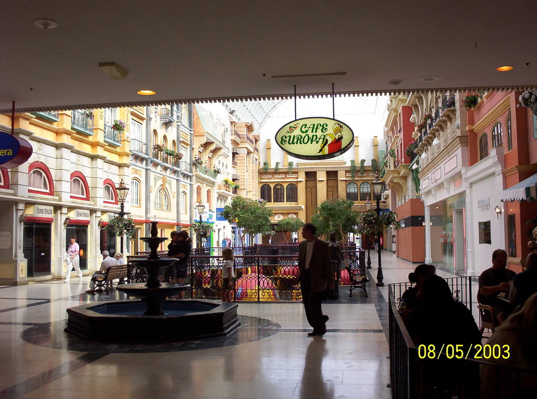
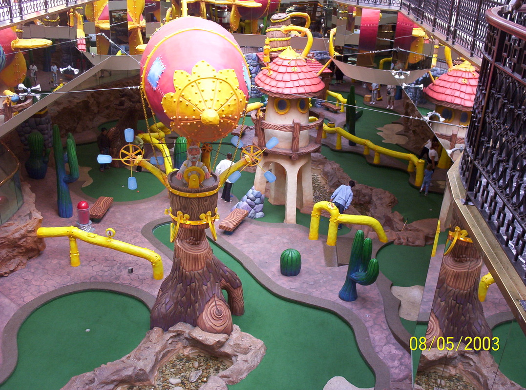
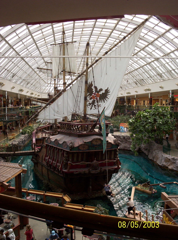
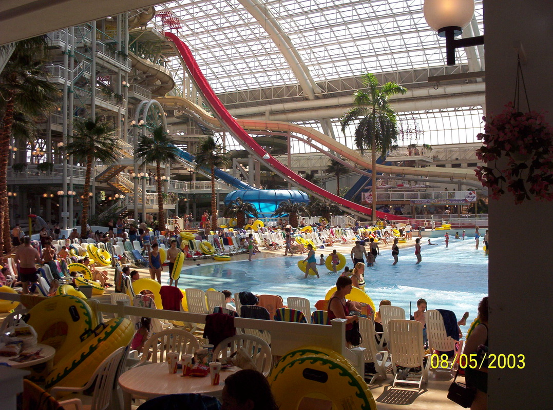
We arrived in Edmonton. The West Edmonton Mall is one of the biggest in the world - well, at least in 2003.
|
|
All for enjoyment...
|
|
Entertainment
|
|
Eateries with European flair.
|
|
Playground
|
|
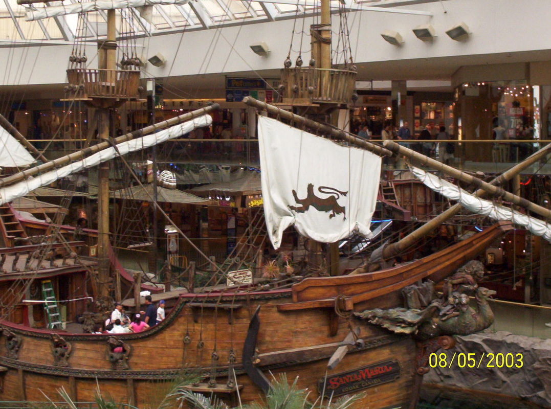
Replica of Columbus' "Santa Maria"
|
|
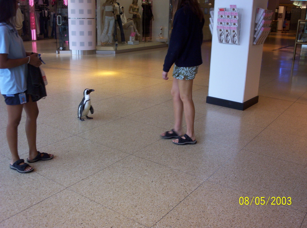
This penguin was lead for a walk and against all odds, he seemed to enjoy it...
|
|
Santa Maria from a different angle.
|
|
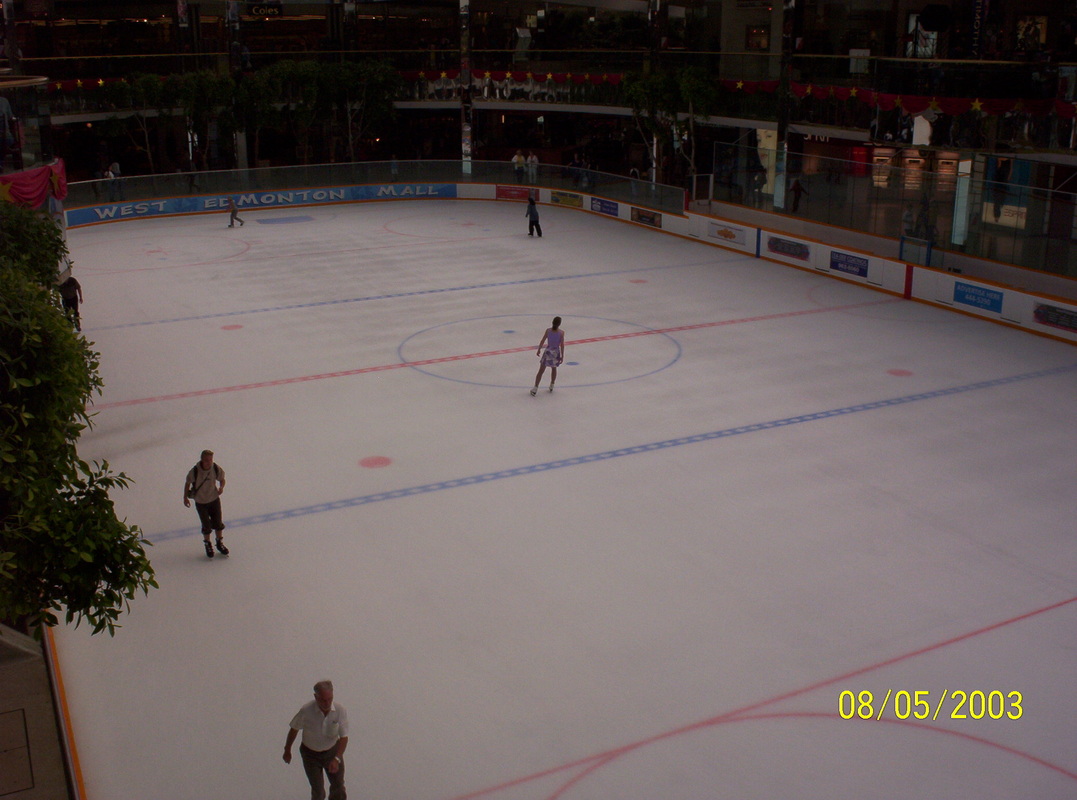
The mall also harbors a huge Ice rink...
|
|
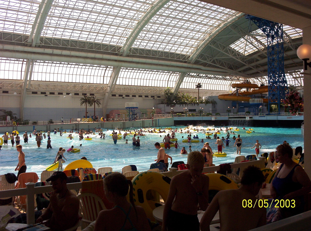
A wave swimming pool, enjoyed by many...
|
|
Also a water slide there.....
|
